

De favoriet van de lezers is momenteel uitverkocht.


Meer over het boek
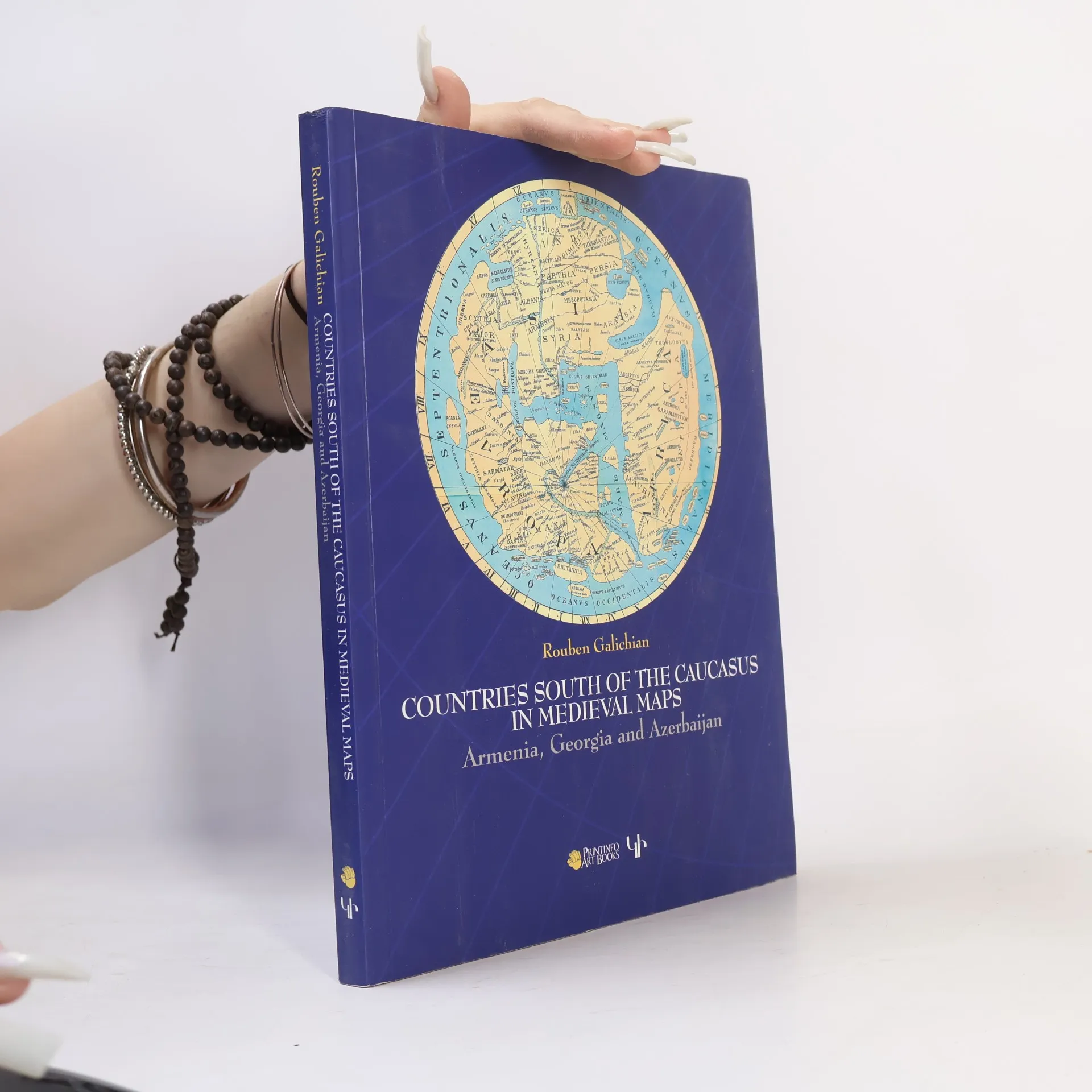
This work presents the medieval historical cartography of the south Caucasus. Volume contains 82 mediaeval maps with 24 details from Latin, Byzantine, Islamic, Syriac and Armenian traditions. 98 of these illustrations are in full colour. Co-published by Gomidas Institute (London) and PrintInfo (Yerevan).
Een boek kopen
Countries of the Caucasus in Medieval Maps, Rouben Galichian
- Taal

- Jaar van publicatie
- 2007
- Bindwijze
- (Paperback)
Zodra we het ontdekt hebben, sturen we een e-mail.
Betaalmethoden
Nog niemand heeft beoordeeld.
- Titel
- Countries of the Caucasus in Medieval Maps
- Ondertitel
- Armenia, Georgia and Azerbaijan
- Taal
- Engels
- Auteurs
- Rouben Galichian
- Uitgever
- Gomidas Institute
- Jaar van publicatie
- 2007
- Formaat
- Paperback
- Aantal pagina's
- 208
- ISBN10
- 1903656699
- ISBN13
- 9781903656693
- Reeks
- Tags
- Historisch thema, Technologie, Oost-Europa, Kartografie, Historische geografie, Georgië, Armenië
- Aantekening
- This work presents the medieval historical cartography of the south Caucasus. Volume contains 82 mediaeval maps with 24 details from Latin, Byzantine, Islamic, Syriac and Armenian traditions. 98 of these illustrations are in full colour. Co-published by Gomidas Institute (London) and PrintInfo (Yerevan).