


Meer over het boek
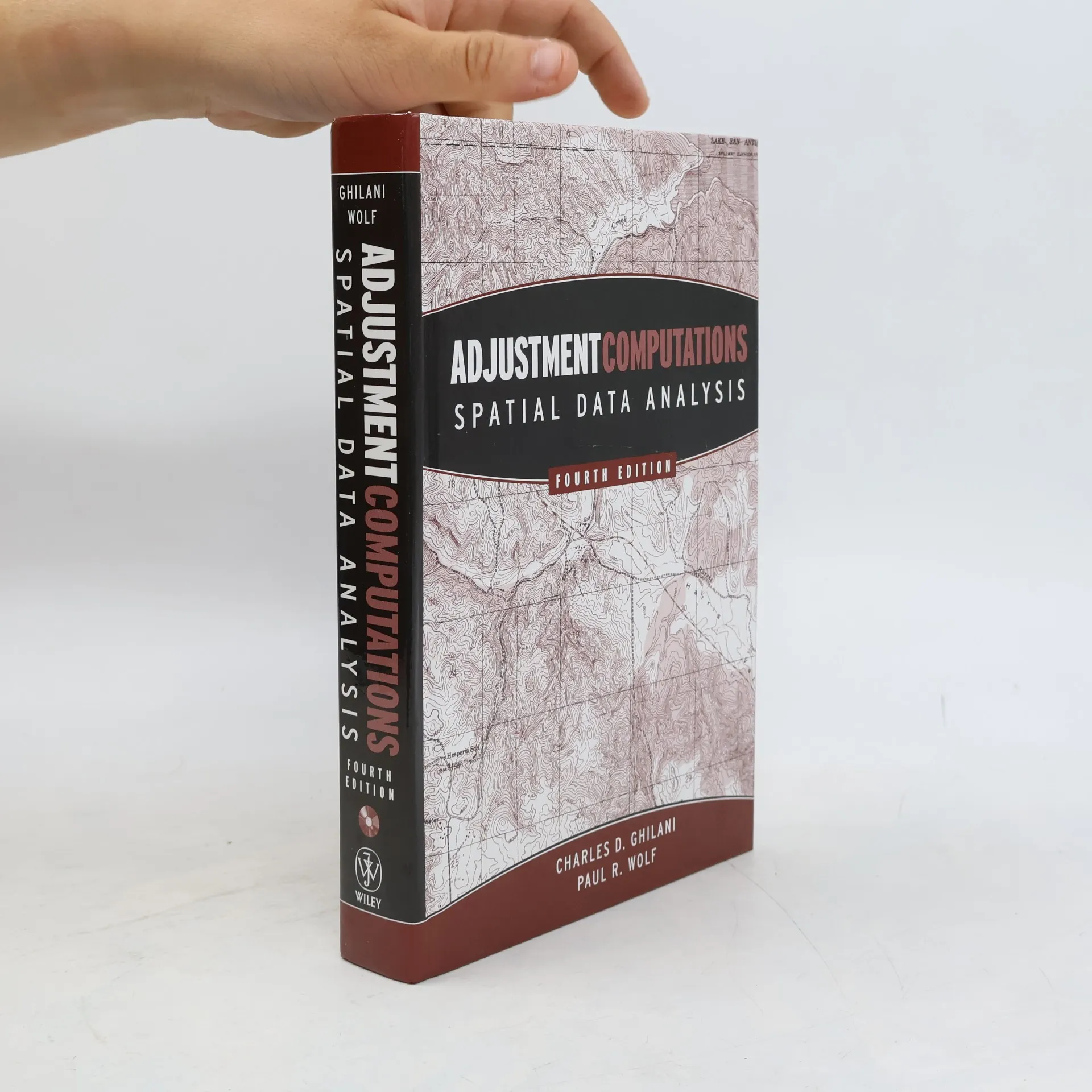
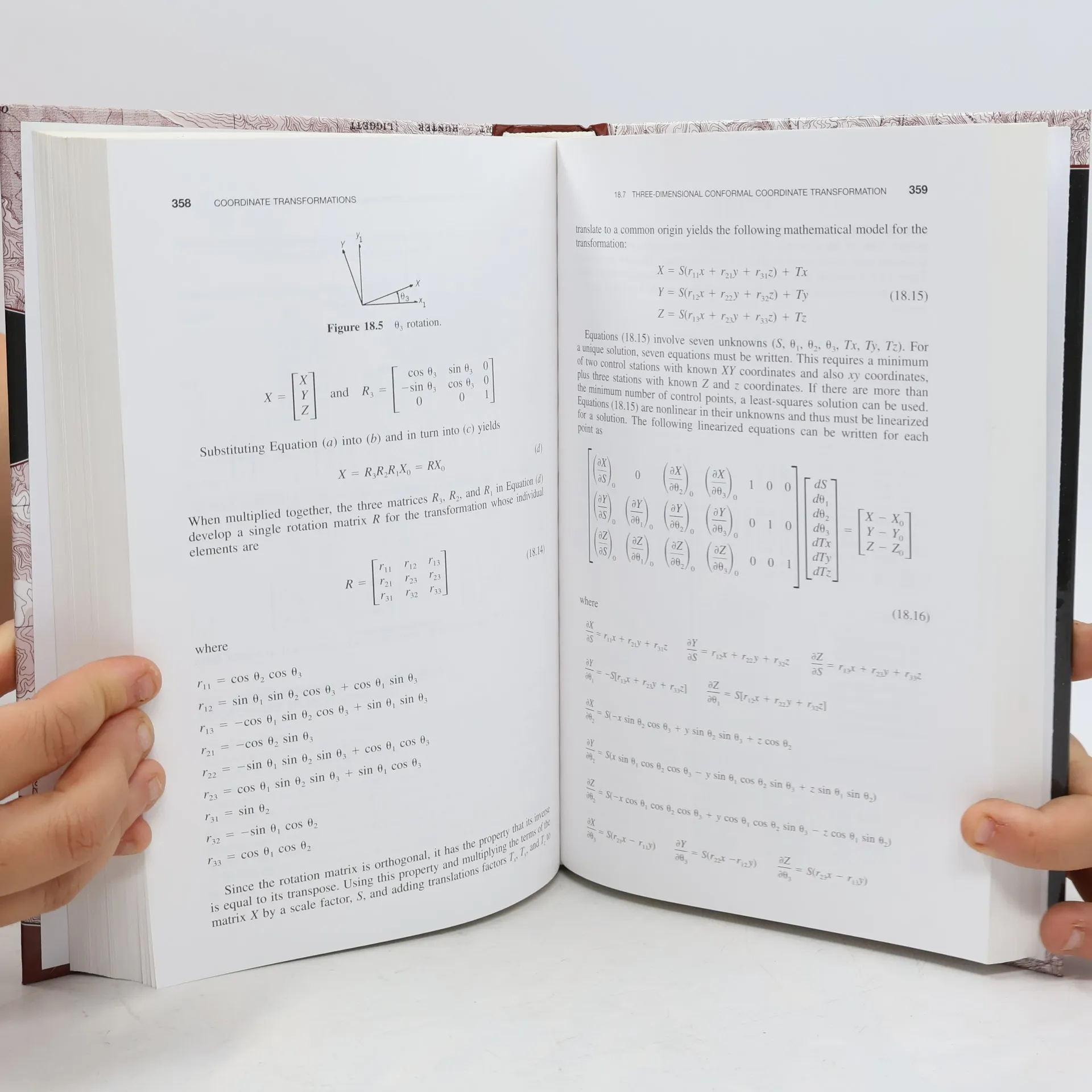
This updated guide addresses measurement error adjustments, focusing on least squares adjustments, the rigorous methodology underpinning accuracy standards in surveying. The Fourth Edition of this classic text covers fundamental concepts of errors and their analysis, advancing to specific adjustment computations and spatial information analysis. Each chapter is enriched with practical examples, illustrations, and sample problems. Key features include accessible language and real-world applications, extensive treatment of GPS-acquired data, and new chapters on three-dimensional data analysis, confidence intervals, and statistical testing. The edition also updates the STATS, ADJUST, and MATRIX software packages and includes a new companion CD and website with a 150-page solutions manual for instructors, software, MathCAD worksheets, and view graphs. Advanced topics such as blunder detection and the method of general least squares are thoroughly covered. This resource serves as an essential reference and self-study tool for surveyors, photogrammetrists, and professionals utilizing GPS and GIS in data collection and analysis, including oceanographers, urban planners, and geographers. It is also ideal for students preparing for licensing exams and for courses in surveying, civil engineering, forestry, cartography, and geology.
Een boek kopen
Adjustment Computations, Paul R. Wolf, Paul R. Wolf Ph.D.
- Taal

- Jaar van publicatie
- 2006
- Bindwijze
- (Hardcover),
- Staat van het boek
- Goed
- Prijs
- € 18,49
Betaalmethoden
Nog niemand heeft beoordeeld.
- Titel
- Adjustment Computations
- Ondertitel
- Spatial Data Analysis
- Taal
- Engels
- Auteurs
- Paul R. Wolf, Paul R. Wolf Ph.D.
- Uitgever
- John Wiley & Sons Inc
- Jaar van publicatie
- 2006
- Formaat
- Hardcover
- Aantal pagina's
- 611
- ISBN10
- 0471697281
- ISBN13
- 9780471697282
- Reeks
- Categorieën
- Tags
- Technologie
- Aantekening
- This updated guide addresses measurement error adjustments, focusing on least squares adjustments, the rigorous methodology underpinning accuracy standards in surveying. The Fourth Edition of this classic text covers fundamental concepts of errors and their analysis, advancing to specific adjustment computations and spatial information analysis. Each chapter is enriched with practical examples, illustrations, and sample problems. Key features include accessible language and real-world applications, extensive treatment of GPS-acquired data, and new chapters on three-dimensional data analysis, confidence intervals, and statistical testing. The edition also updates the STATS, ADJUST, and MATRIX software packages and includes a new companion CD and website with a 150-page solutions manual for instructors, software, MathCAD worksheets, and view graphs. Advanced topics such as blunder detection and the method of general least squares are thoroughly covered. This resource serves as an essential reference and self-study tool for surveyors, photogrammetrists, and professionals utilizing GPS and GIS in data collection and analysis, including oceanographers, urban planners, and geographers. It is also ideal for students preparing for licensing exams and for courses in surveying, civil engineering, forestry, cartography, and geology.