



Bookbot

Kurt Menke

    Bettinas MondAuto
    Ulli und der kleine Doktor
    Max im tunnel
    Mastering QGIS
    Discover QGIS
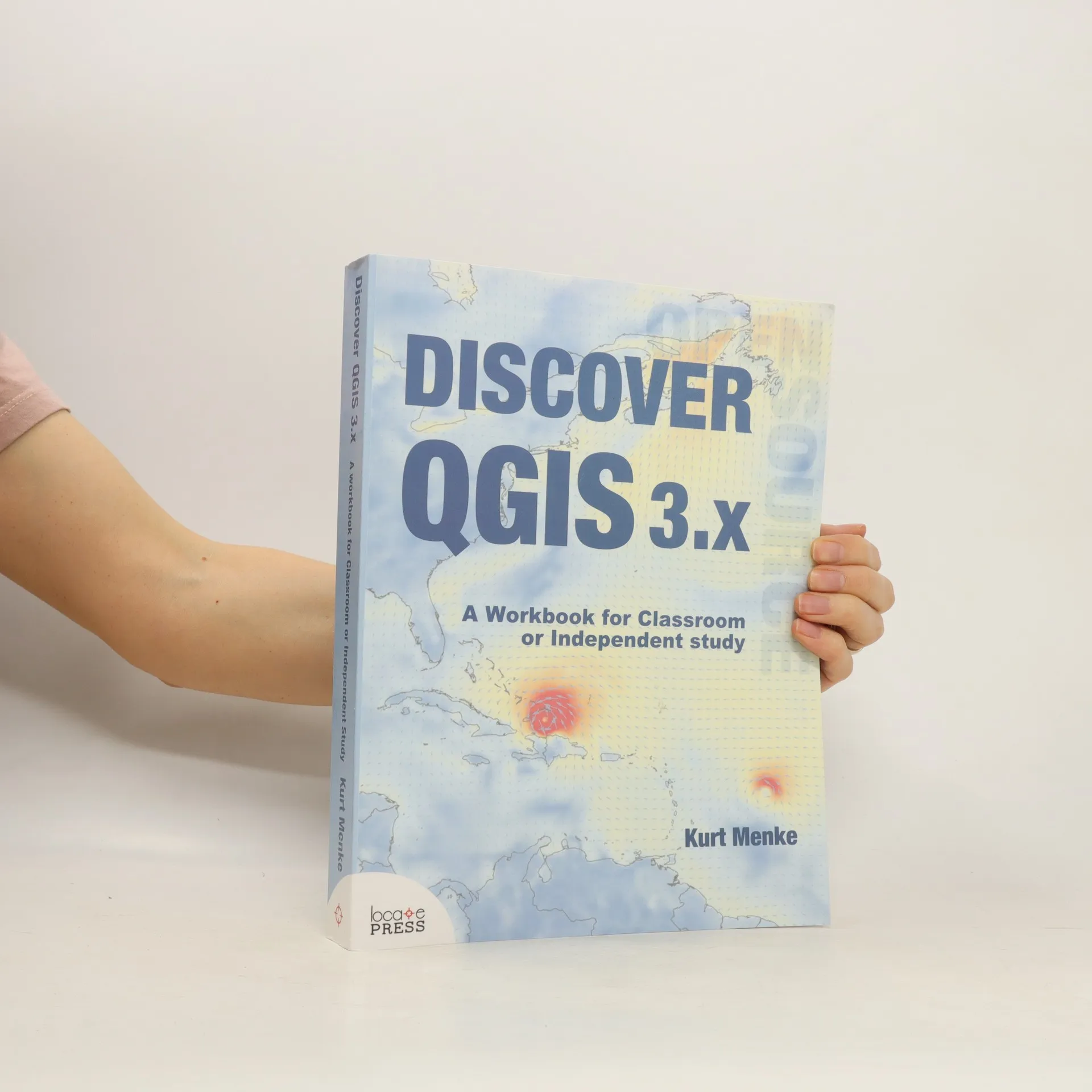
    Discover QGIS 3.x. A workbook for the classroom of independent study
    • Explore the latest Long Term Release (LTR) of QGIS with Discover QGIS 3.x, a comprehensive up-to-date workbook built for both the classroom and professionals looking to build their skills. Designed to take advantage of the latest QGIS features, this book will guide you in improving your maps and analysis. Discover QGIS 3.x is an update of the original title, using QGIS 3.6, covering Spatial analysis, Data management, and Cartography. What's new in this edition: Fifteen new exercises A new section, Advanced Data Visualization, covering: Blending modes Live layer effects Geometry generators Rendering Points Time Manager Native 3D Mesh data Appendices covering: Keyboard shortcuts Useful Plugins Getting involved The book is a complete resource and includes: Lab exercises Challenge exercises All data, discussion questions, and solutions

      Discover QGIS 3.x. A workbook for the classroom of independent study
      4,9
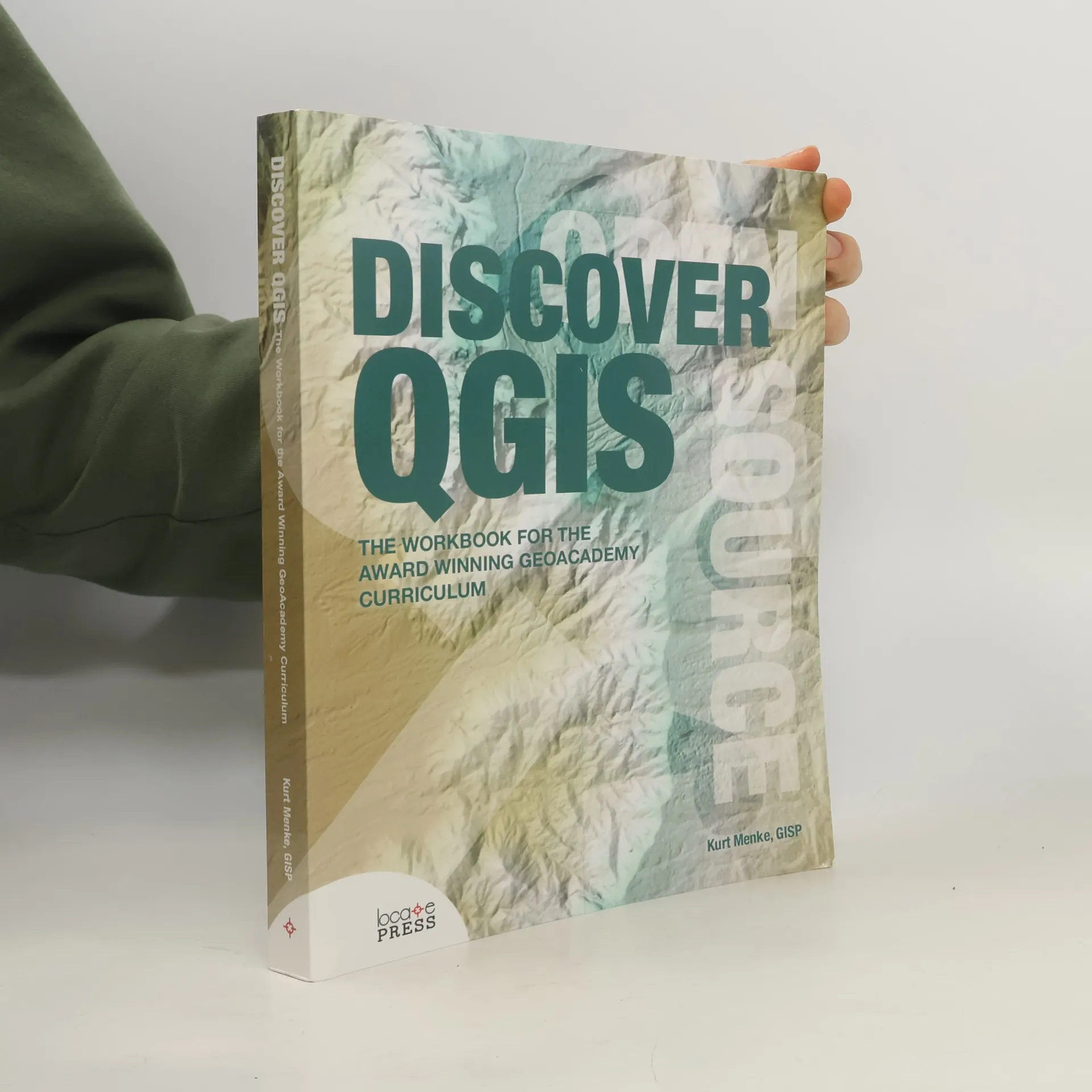
    • Discover QGIS

      The Workbook for the Award Winning GeoAcademy Curriculum

      • 472bladzijden
      • 17 uur lezen

      Get your hands on the award winning GeoAcademy exercises in a convenient workbook format. The GeoAcademy is the first ever GIS curriculum based on a national standard-the U.S. Department of Labor's Geospatial Competency Model-a hierarchical model of the knowledge, skills, and abilities needed to work as a GIS professional in today's marketplace. Originally written for QGIS v2.4, the GeoAcademy material in this workbook has been updated for use with QGIS v2.14, Inkscape v0.91, and GRASS GIS v7.0.3. This is the most up-to-date version of the GeoAcademy curriculum. To aid in learning, all exercise data includes solution files. The workbook is edited by one of the lead GeoAcademy authors, Kurt Menke, a highly experienced FOSS4G educator.

      Discover QGIS
      5,0
    • Mastering QGIS

      go beyond the basics and unleash the full power of QGIS with practical, step-by-step examples

      • 420bladzijden
      • 15 uur lezen

      Go beyond the basics and unleash the full power of QGIS with practical, step-by-step examples. This resource is designed for GIS professionals, consultants, students, and fast learners eager to explore QGIS beyond its foundational elements. As a leading alternative to proprietary GIS software, QGIS is intuitive yet complex, making it crucial to know which tools to use for timely and valuable deliverables. Beginning with a refresher on QGIS fundamentals, the guide progresses to creating your first custom QGIS plugin. By the conclusion, you'll be equipped to handle all aspects of QGIS for various GIS tasks. The initial sections cover creating, populating, and managing a spatial database, along with styling GIS data through custom symbols, color ramps, and blending modes. Subsequent chapters delve into preparing vector and raster data for processing, highlighting advanced data creation and editing techniques. The final third addresses technical aspects, including using the Processing Toolbox, automating workflows with batch processing, and creating graphical models. You will also learn to create and run Python data processing scripts and develop your own QGIS plugin with pyqgis, empowering you to maximize your GIS capabilities.

      Mastering QGIS