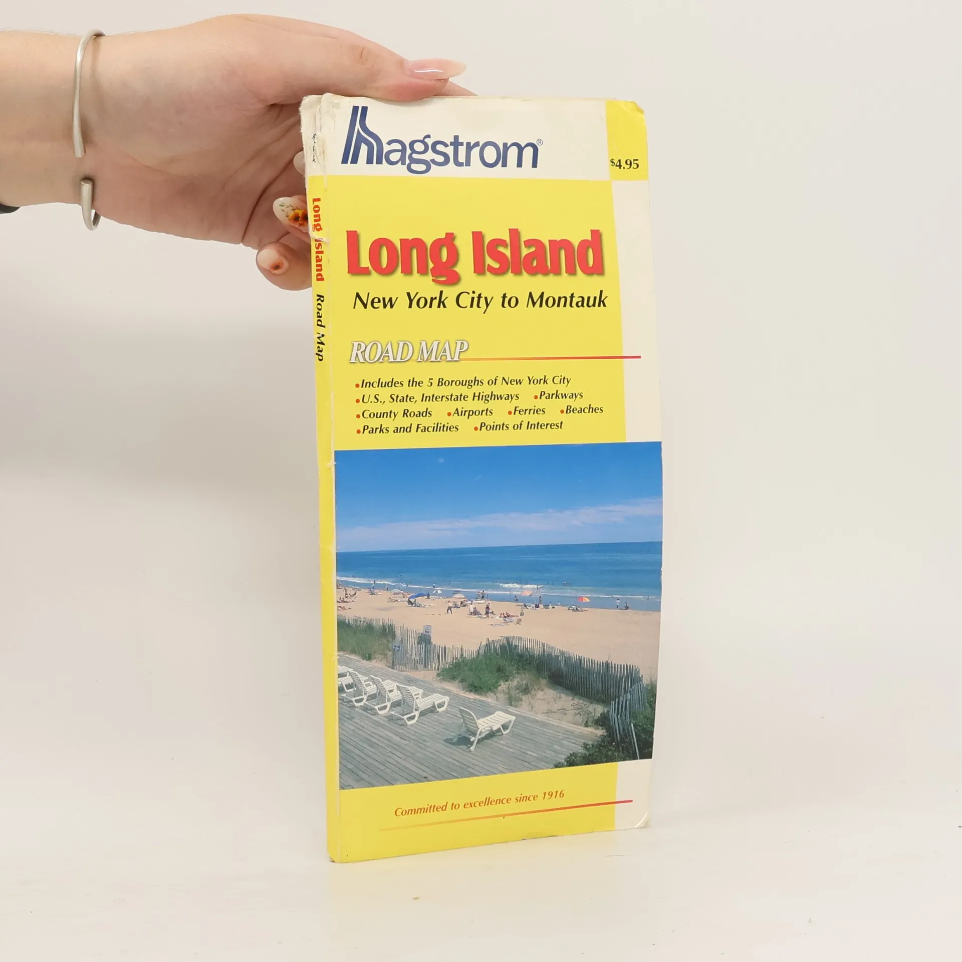
This pocket map of Long Island shows U.S., State and interstate highways, parkways, airports, ferries, beaches, golf courses, cemeteries, parks and facilities, hospitals, and points of interest around the area. It also shows major roads going through the five boroughs of New York City.
This New York City 5 Borough atlas is the most accurate of its kind. It includes a full street index, history, postal zones and stations, outdoor activities, a map of the Theater District and of Downtown, and a map of main routes that pass through the areas of New York City, eastern New Jersey, Nassau County, NY and Fairfield County, CT. The atlas shows 321 square miles of crisp, new digitized map, which makes all of the details sharper and cleaner. Features in this atlas include subway lines and stops, transportation information, and tolls for bridges and tunnels, airport maps, building numbers, direction of streets in Manhattan, schools, hospitals, ZIP codes and other points of interest in New York City.