

Uitverkocht
Parameters
Meer over het boek
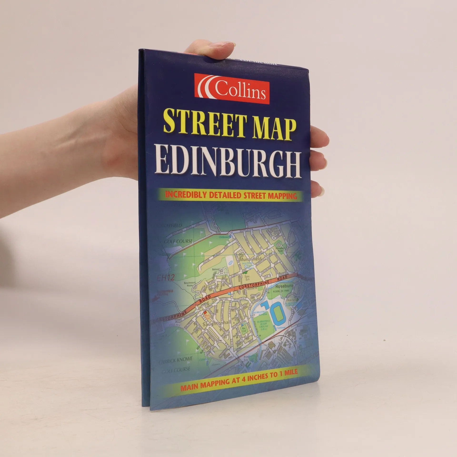
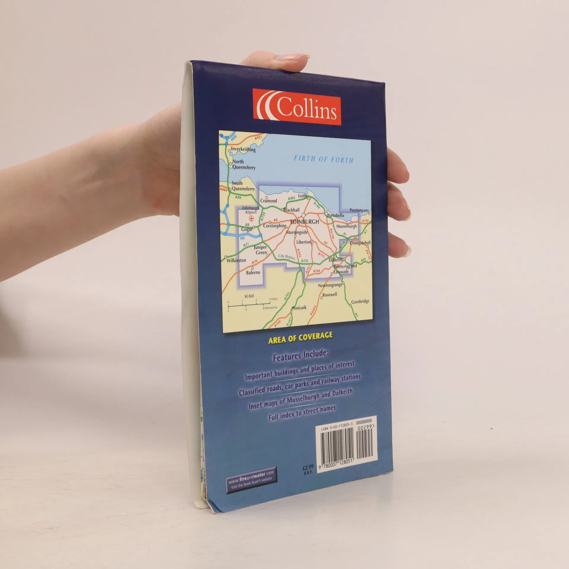
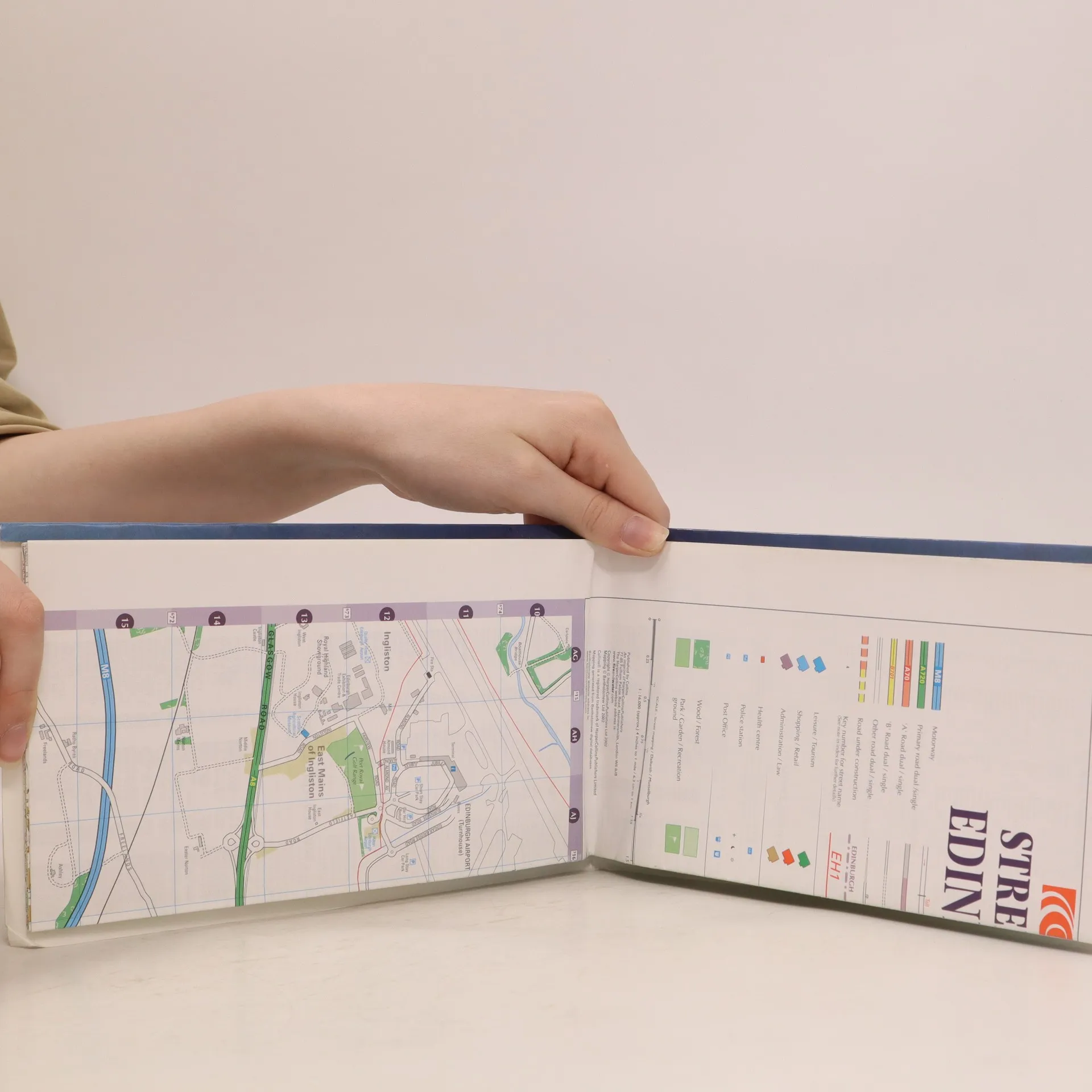
This full colour map of Edinburgh provides street level detail and a full index to street names at a scale of 4 inches to 1 mile, 1:15,840. The map includes: all important buildings and places of interest; an enlarged central area; classified roads; inset maps of Musselburgh and Dalkeith; and car parks and railway stations. The map's area of coverage stretches from the airport in the west to Musselburgh in the east and from Firth of Forth in the north to Loanhead in the south.
Een boek kopen
Street Map Edinburgh, Auteurscollectief
- Taal

- Jaar van publicatie
- 2002
- Bindwijze
- (Paperback)
Zodra we het ontdekt hebben, sturen we een e-mail.
Betaalmethoden
Nog niemand heeft beoordeeld.
- Titel
- Street Map Edinburgh
- Taal
- Engels
- Auteurs
- Auteurscollectief
- Jaar van publicatie
- 2002
- Formaat
- Paperback
- ISBN10
- 0007128053
- ISBN13
- 9780007128051
- Reeks
- Tags
- Reizen
- Aantekening
- This full colour map of Edinburgh provides street level detail and a full index to street names at a scale of 4 inches to 1 mile, 1:15,840. The map includes: all important buildings and places of interest; an enlarged central area; classified roads; inset maps of Musselburgh and Dalkeith; and car parks and railway stations. The map's area of coverage stretches from the airport in the west to Musselburgh in the east and from Firth of Forth in the north to Loanhead in the south.