

Uitverkocht
Meer over het boek
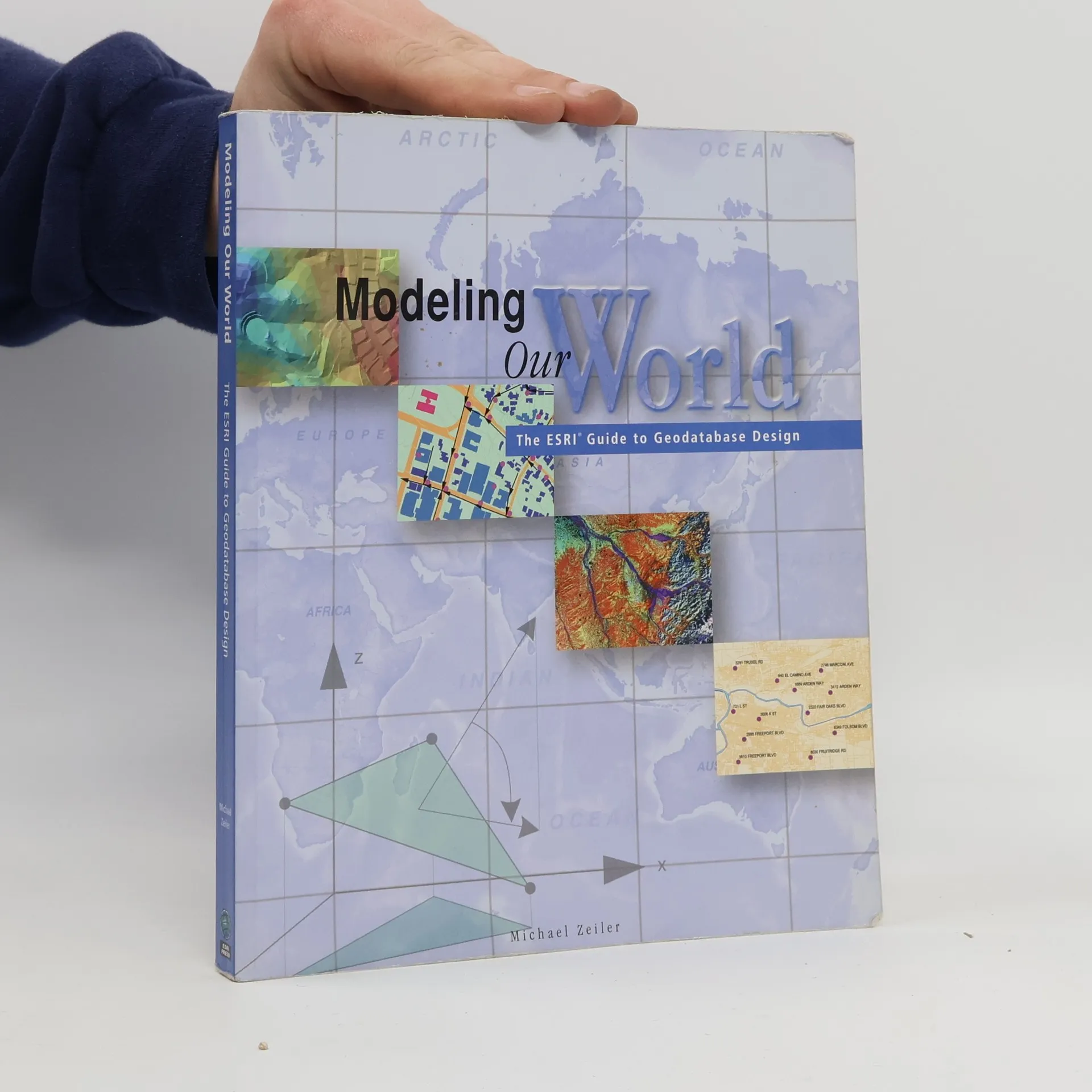
Geographic data models are digital frameworks that describe the location and characteristics of things in the world around us. With a geographic information system, we can use these models as lenses to see, interpret, and analyze the infinite complexity of our natural and man-made environments. With the geodatabase, a new geographic data model introduced with ArcInfo 8, you can extend significantly the level of detail and range of accuracy with which you can model geographic reality in a database environment.
Een boek kopen
Modeling Our World, Michael Zeiler
- Taal

- Jaar van publicatie
- 1999
- Bindwijze
- (Paperback)
Zodra we het ontdekt hebben, sturen we een e-mail.
Betaalmethoden
We missen je recensie hier.
- Titel
- Modeling Our World
- Ondertitel
- The ESRI Guide to Geodatabase Design
- Taal
- Engels
- Auteurs
- Michael Zeiler
- Uitgever
- ESRI Press
- Jaar van publicatie
- 1999
- Formaat
- Paperback
- Aantal pagina's
- 200
- ISBN10
- 1879102625
- ISBN13
- 9781879102620
- Reeks
- Categorieën
- Tags
- Wetenschap, Technologie
- Beoordeling
- 3,65 van 5
- Aantekening
- Geographic data models are digital frameworks that describe the location and characteristics of things in the world around us. With a geographic information system, we can use these models as lenses to see, interpret, and analyze the infinite complexity of our natural and man-made environments. With the geodatabase, a new geographic data model introduced with ArcInfo 8, you can extend significantly the level of detail and range of accuracy with which you can model geographic reality in a database environment.