Koop 10 boeken voor 10 € hier!
Bookbot

Keith Carter

    Pennine Way
    Offa's Dyke Path
    Ghostlight
    Bones
    • Bones

      • 128bladzijden
      • 5 uur lezen
      4,1(24)Tarief

      It's a dog's world and Keith Carter knows how to photograph it. All the playfulness, grace, and character of dogs are lovingly displayed in this collection of over 60 atmospheric and haunting duotone images. Bones is destined to become a classic of dog portraiture.

      Bones
    • Ghostlight

      • 184bladzijden
      • 7 uur lezen

      The book showcases a captivating collection of ethereal photographs capturing the beauty of Southern wetlands, complemented by an original ghost story that intertwines with the imagery. This unique blend of visual art and narrative invites readers to explore the haunting allure of the wetlands, creating an immersive experience that evokes both wonder and intrigue.

      Ghostlight
    • Offa's Dyke Path

      Two directional guide: Chepstow to Prestatyn and Prestatyn to Chepstow; Planning, Places to Stay, Places to Eat, 98 large-scale maps & guides to 52 towns and villages

      • 268bladzijden
      • 10 uur lezen

      Featuring a comprehensive walking route guide, this book covers the 177-mile Offa's Dyke Path along the Welsh-English border. It includes 87 large-scale walking maps, 11 town maps, and 15 overview maps, providing detailed navigation for hikers. The two-way guide ensures ease of use for both directions of travel, making it an essential resource for anyone exploring this scenic trail. Additionally, it offers accommodation options, enhancing the walking experience in this beautiful region of Wales.

      Offa's Dyke Path
    • Pennine Way

      • 256bladzijden
      • 9 uur lezen

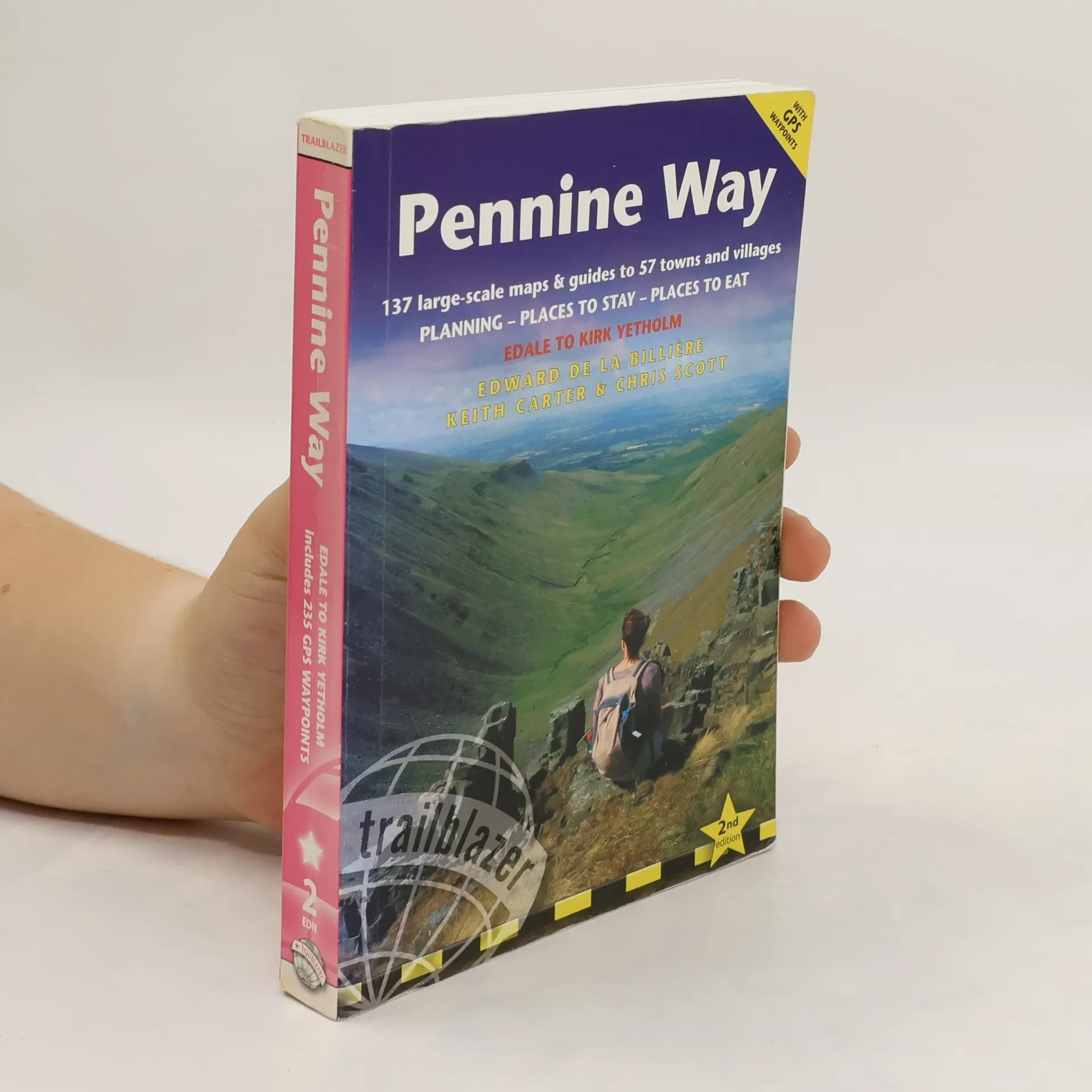
      Britain’s best-known National Trail winds for 256 miles through three National Parks – the Peak District, Yorkshire Dales and Northumberland. This superb footpath showcases Britain’s finest upland scenery, while touching the literary landscape of the Bronte family and Roman history along Hadrian’s Wall.* 135 walking maps – 1:20,000 (3-1/8 inches to 1 mile) – the largest-scale maps available.*Unique mapping features – walking times, directions, tricky junctions, places to stay, places to eat, points of interest.* Includes day walks and short breaks.* Practical information for all budgets – what to see, where to stay, where to eat: pubs, B&Bs, hotels, campsites, hostels.

      Pennine Way