
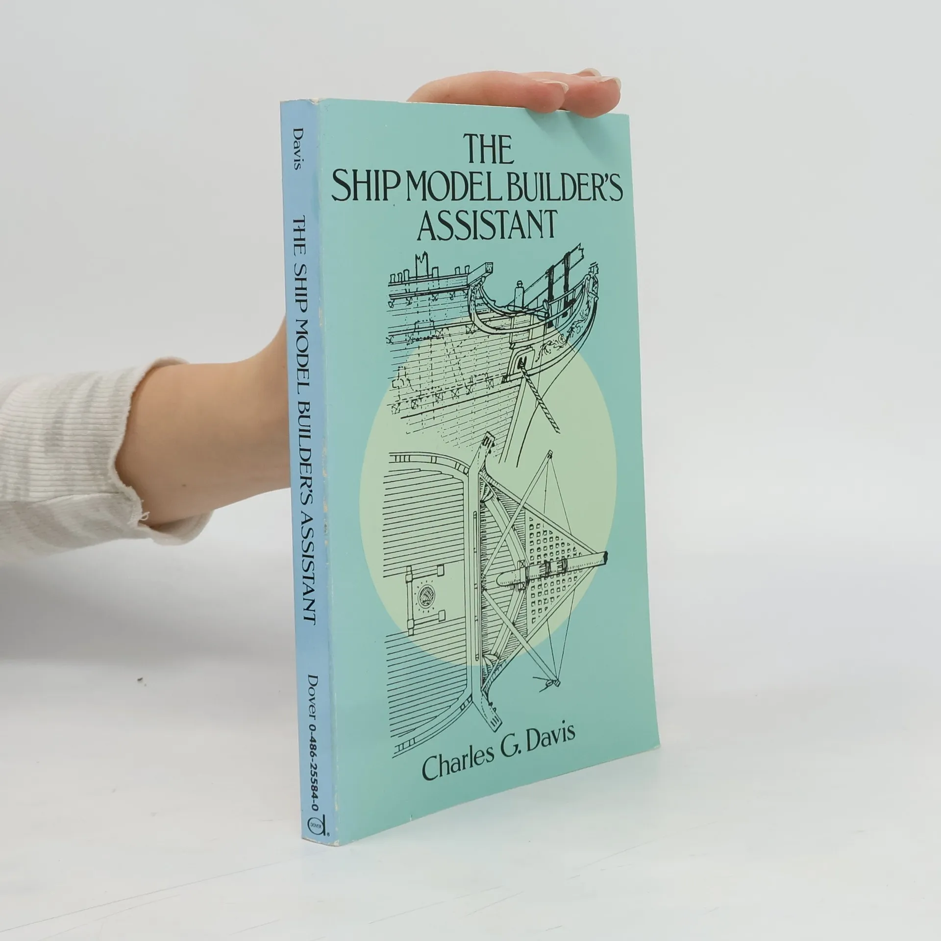
Invaluable guide offers detailed descriptions, drawings of masting, rigging and major fittings of American clippers and packets of the Great Age of Sail. Also includes a wealth of details on deck furniture of various types of vessels from different periods. Nearly 280 line drawings give the model builder a deep understanding of the workings of a fully rigged and appointed ship.
Jan Kostura Boeken

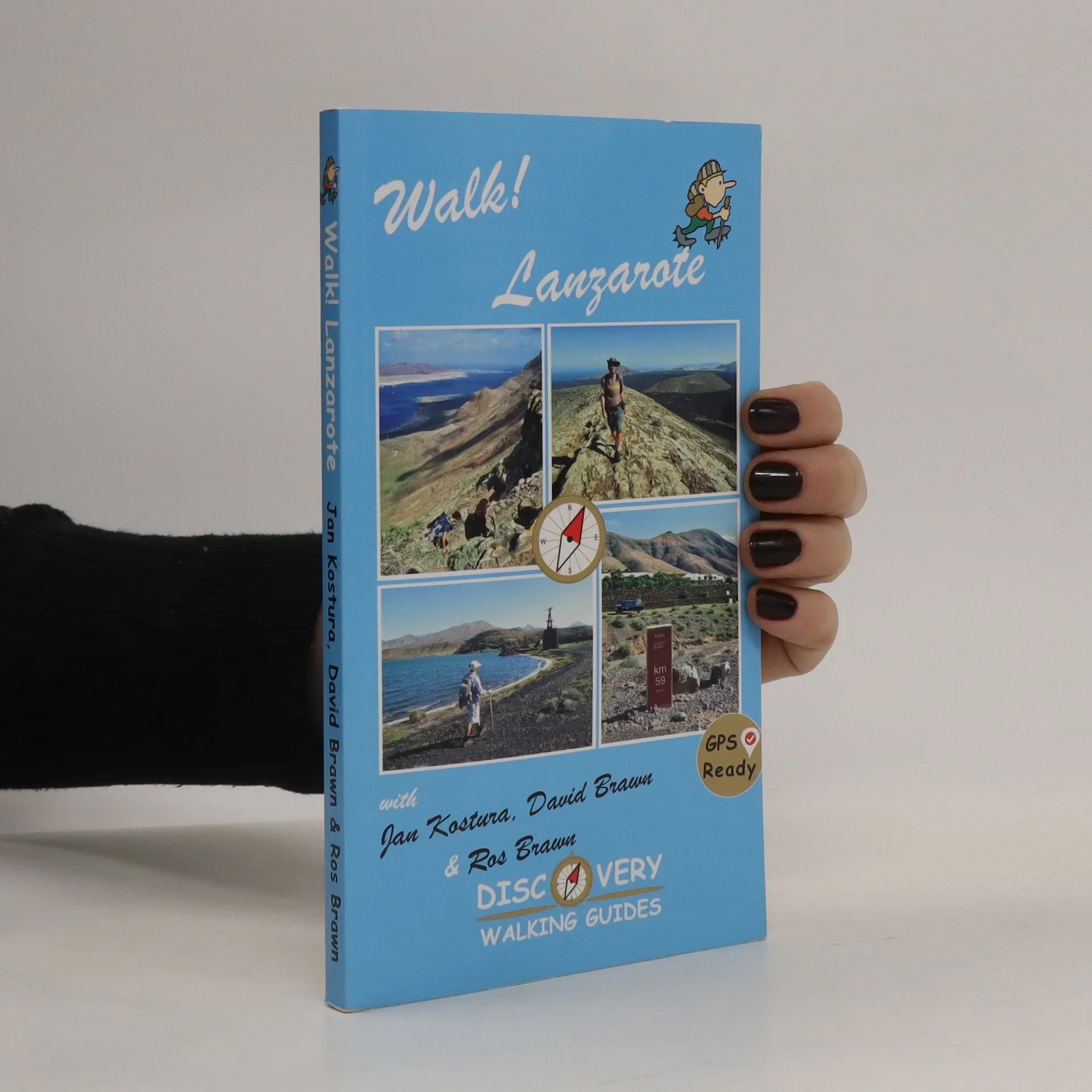
Walk Lanzarote
- 160bladzijden
- 6 uur lezen
Walk Lanzarote's forty one main walking routes provide a wide variety of adventures with routes ranging from family friendly costal promenades through a surprising range of landscapes up to some serious hiking
For your best adventures, use the best map. Water-proof, split-proof, tear- proof, adventure-proof. Azores Tour & Trail Super-Durable Map is the most detailed, accurate, toughest, large scale map of these 9 islands that you can buy.