Bookbot Club
Carrière
Even voorstellen
Contact
Zoek naar een boek, auteur, ISBN of categorie...
Boeken verkopen
Fictie
Fantasy
Alle Fantasy
Epische Fantasy
Heroïsche fantasy
Historische Fantasy
Humoristische fantasy
Stedelijke fantasy
Fantasy voor kinderen
Vampiers
Horror
Alle Horror
Bovennatuurlijke horror
Gotische horror
Kosmische horror
Horrorstrips
Horrorverhalen
Romantiek
Alle Romantiek
Hedendaagse romance
Historische liefdesromans
Spannende romantiek
Romantische komedies
LGBTQ+ romantiek
Romantasy
Sciencefiction
Alle Science-fiction
Hard Sci-fi
Humoristische Sci-Fi
Space opera
Dystopie
Post-apocalyptisch
Steampunk
Cyberpunk
Detectives & Thriller
Alle Detectives & Thriller
Historische detectives
Klassieke detectives
Noordse detectives
Thrillers
Psychologische thrillers
Spionageromans
Cozy crime
Strips & Manga
Alle Strips & Manga
Superhelden
Alternatieve strips
Horrorstrips
Humoristische strips
Strips voor Kinderen
Manga
Young Adult
Alle Young Adult
Young Adult Fantasy
Young Adult Romance
Romantasy
Overige
Historische fictie
Klassiekers
Maatschappelijke romans
Mythes & Legenden
Poëzie
Non-fictie
Business & Management
Economie
Financiën & Boekhouding
Investeringen & Speculaties
Management & HR
Marketing & Verkoop
Geneeskunde
Alle Geneeskunde
Alternatieve geneeskunde
Gezonde levensstijl
Hobby
Ambachten
Antiek & Verzamelen
Handwerken & Textiel
Huisdieren & Dierhouderij
Jacht
Tuinieren & Teelt
Videospellen
Visserij
Wonen & Decoratie
Kaarten & Reizen
Geografie & Plaatsbeschrijving
Kaarten & Atlassen
Reisboeken
Reisgidsen
Kunst & Cultuur
Architectuur & Stedebouw
Design
Film
Fotograferen
Theorie van de kunst
Mode
Muziek
Schilderkunst & Beeldhouwkunst
Theater & Dans
Sociale Wetenschappen
Architectuur
Antropologie
Filosofie
Over literatuur
Pedagogiek
Politicologie & Politiek
Psychologie
Recht
Sociologie
Talen
Technologie & Industrie
Auto's & Vervoer
Bouwkunde & Statica
Computers & Internet
Elektronica & Elektrotechniek
Landbouw
Militair
Wetenschap & Wiskunde
Astronomie
Biologie
Chemie
Ecologie
Fysica
Geologie & Mineralogie
Theorie van de Wetenschap
Wiskunde
Zelfhulp
Interpersoonlijke relaties
Moederschap en ouderschap
Meditatie
Ondernemerschap
Persoonlijke ontwikkeling
Overige
Culinaire kunst & Gastronomie
Fitness & Krachttraining
Sport & Outdoor
Studieboeken
Voeding & Dieeten
Waargebeurde verhalen
Waargebeurde verhalen
Biografieën
Geschiedenis
Interviews
Mysteries & Complotten
Opiniejournalistiek & Essays
Reisboeken
Reportages
True crime
Kinderboeken
Kleine lezers
Activiteiten voor kinderen
Eerste Lezen
Kartonboekjes
Kinderliedjes & Rijmpjes
Kleurboeken
Prentenboeken
Grote lezers
Detectives voor Kinderen
Fantasy voor kinderen
Non-fictie voor kinderen
Strips voor Kinderen
Sprookjes
Voor kinderen van 8–12 jaar
Esoterie & Religie
Esoterie
Astrologie
Droomduiding
Occultisme & Hekserij
Spirituele ontwikkeling
Voorspellingen
Religie
Christendom
Boeddhisme
Hindoeïsme
Islam
Jodendom
Taoïsme
10 voor 10 €
Alle boeken
John Bartholomew
John Bartholomew
Boeken
Boeken van de auteur
Volgorde van de boeken (chronologisch)
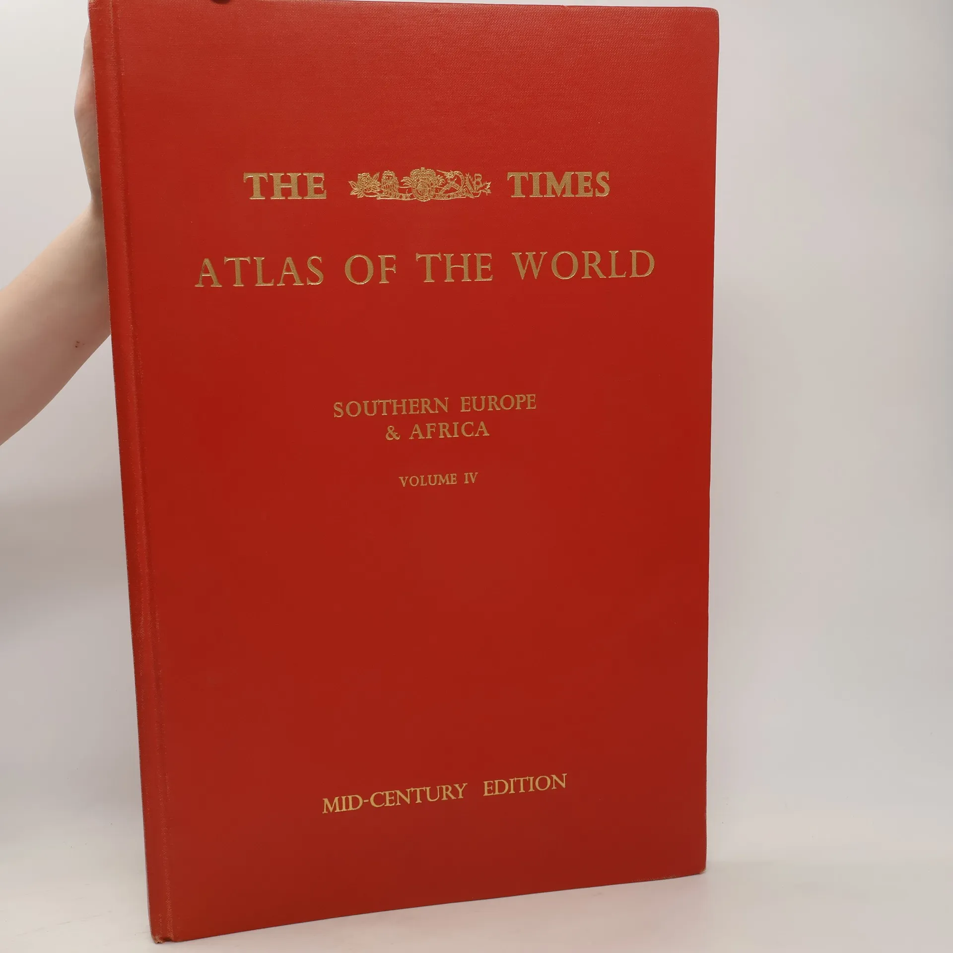
The Times Atlas of the World. Volume IV., Southern Europe and Africa
Volgen