
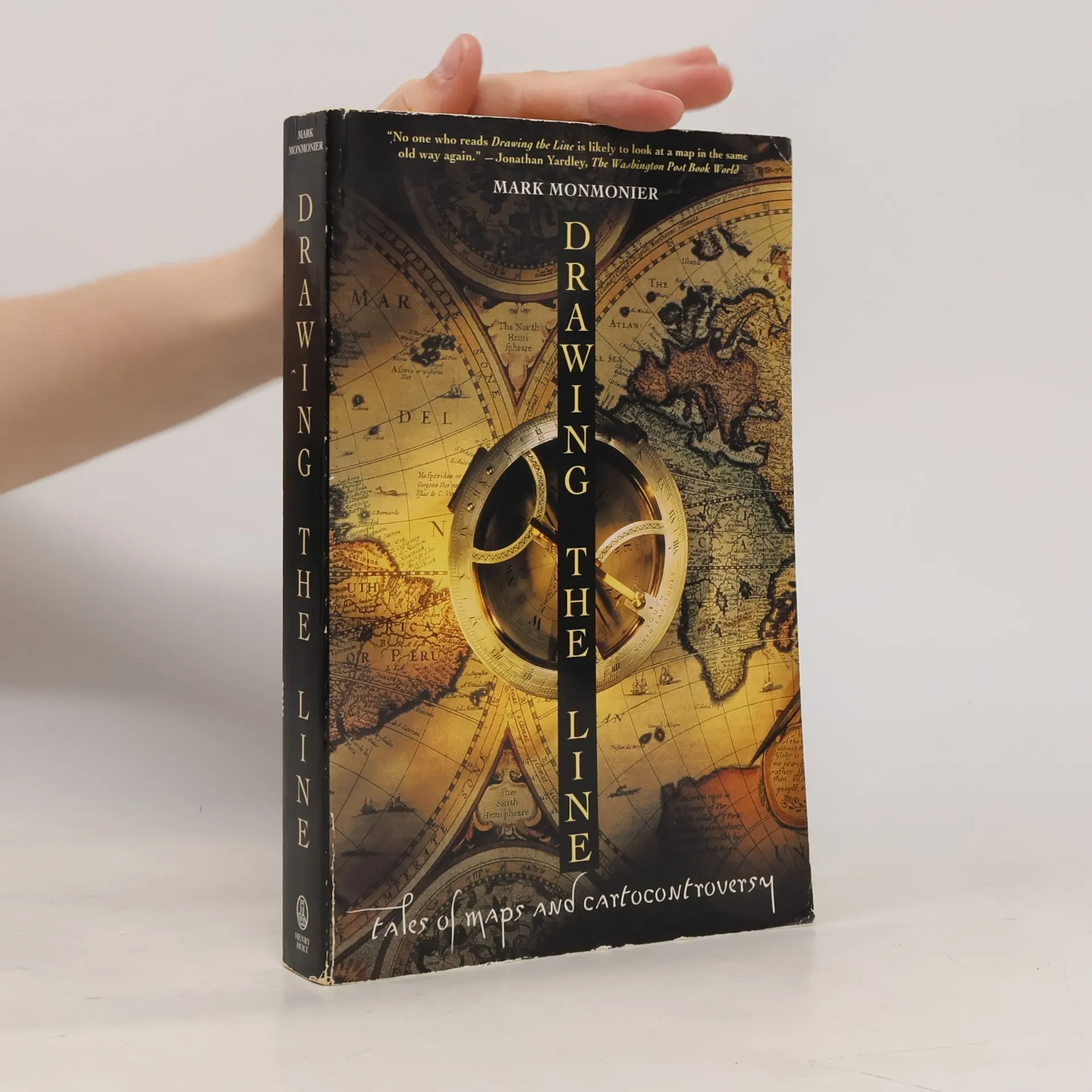
Originally published to wide acclaim, this lively, illustrated essay on the use and abuse of maps teaches critical evaluation and promotes skepticism about these manipulable models of reality. The author demonstrates that, despite their immense value, maps inherently lie. The updated second edition includes two new chapters, ten color plates, and a new foreword by renowned geographer H. J. de Blij. One chapter examines the influence of national interest and cultural values on mapping organizations, while the other explores multimedia, computer-based maps. To illustrate how maps distort, the author introduces basic principles of mapmaking and entertaining examples of misuse in various contexts, covering distortions from oversimplifications to misleading color usage. The book is described as an artful and humorous work, encouraging readers to appreciate the approximate and incomplete truths in maps. It serves as a useful guide for those who may take maps for granted, combating cartographic illiteracy and even helping readers find their way. The witty examination of how and why maps lie conveys important insights about the manipulation of statistics while highlighting the aesthetic appeal and enjoyment of maps. Readers will emerge better equipped to navigate the pitfalls of deceptive atlases, shoddy journalism, and unscrupulous advertisers, making this book a must-read for anyone who uses maps.
Mark S. Monmonier Boeken
Mark Monmonier creëert boeiende verhalen die ingaan op de complexiteit van geografie en informatiesystemen, doordrenkt van zowel rigoureuze academische studie als een heerlijk gevoel voor humor. Zijn geschriften dagen de conventionele wijsheid uit en moedigen lezers aan om kritisch te onderzoeken hoe informatie wordt gepresenteerd en geïnterpreteerd. Monmoniers unieke benadering verlicht de ingewikkelde aard van toponymie en geografische gegevens en onthult de betekenislagen en potentiële vertekeningen binnen schijnbaar objectieve weergaven. Hij nodigt lezers uit op een reis van intellectuele ontdekking, waarbij het vertrouwde landschap van kaarten en plaatsnamen een bron van diepgaand inzicht wordt.
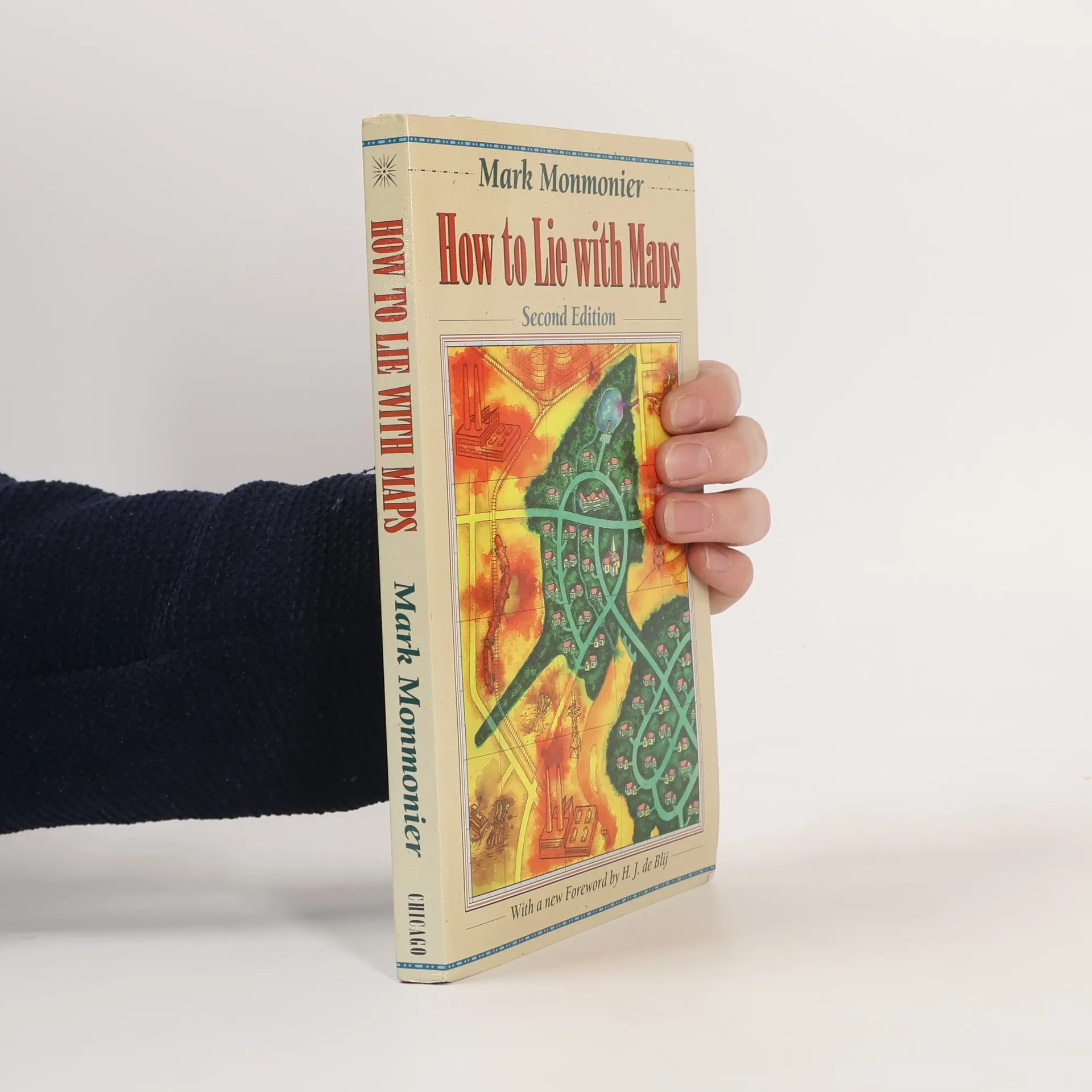
Argues that maps can be manipulated to distort the truth, and shows how they have been used for propaganda in international affairs, political districting, and finding toxic dump sites