
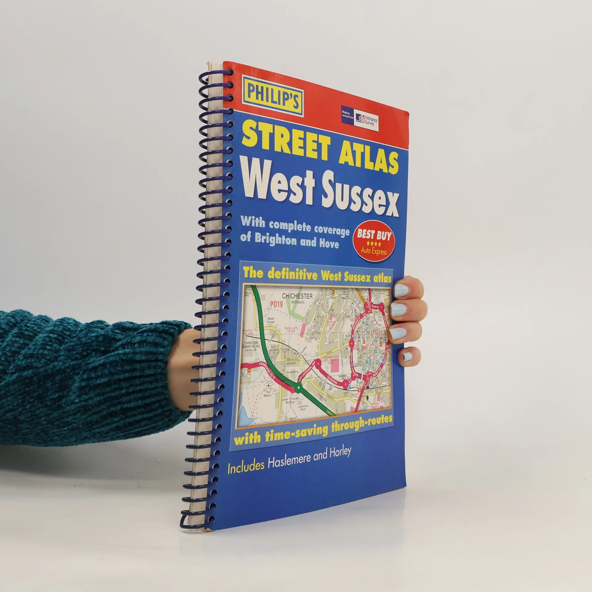
A brand-new edition of this successful colour atlas of West Sussex, giving the only comprehensive, detailed coverage of the region. No other atlas shows every street in West Sussex. The mapping is prepared by the Ordnance Survey and gives the user complete coverage of all urban and rural areas. The mapping is at a standard scale of 3 inches to 1 mile (2 inches to 1 mile in the pocket edition) and is complete with postcode boundaries. The atlas is ideally suited for both business and leisure use. There is a route-planning map at the front of the atlas. The main maps show every named road, street and lane clearly with through-routes highlighted. School locations are marked and emergency services, hospitals, police stations, car parks and rail and bus station locations are all featured. There is a comprehensive index of street names and postcodes including schools, industrial estates, hospitals, sports centres, etc. These are highlighted in red in the spiral and hardback atlases.
George Philip Boeken

Technology Transfer and East-West Relations
- 273bladzijden
- 10 uur lezen
Originally published in 1985, in the deteriorating climate of East-West relations technology transfer became vitally important. The Eastern bloc desperately needed Western technology to assist in the development of the socialist economies, but a proposed US ban on the export of Western technology to the Siberian pipeline project led to increasing tension within the Western alliance abot the nature and scale of high technology that could be safely exported to the East. This book reviews the state of technology transfer to the East in the 1980s and considers the place of Western technology in the Eastern economies. It also discusses the strategic goals of Western technology embargoes. Many of the issues discussed remain pertinent today.
The new edition Philip's Pocket World Atlas contains 96 pages of maps that are politically coloured to emphasize countries, towns and cities, as well as major transport routes and administrative boundaries. At the beginning of the atlas are maps showing the world's major flight paths and international organizations. In addition, there is a concise country gazetteer giving details for over 200 of the world's nations, with useful information about area, population, capital cities, annual income, currencies and national governments. At the end of the atlas, the 24-page letter-figure index lists all major towns and cities, plus numerous geographical features such as mountains, rivers and lakes. The handy paperback format makes this pocket-sized world atlas ideal for students and travellers of all kinds.
Philip's World Atlas
- 264bladzijden
- 10 uur lezen
"Philip's World Atlas" is designed as a family atlas, suitable for junior and lower secondary school work, with a 32-page illustrated thematic section providing information on topics such as the Solar System, the structure of the Earth, climate and weather, the environment, population, resources, economics, politics and many others. This atlas also includes a special "World Cities" section, which provides urban area and city centre maps marking tourist sites for 67 of the world's most important cities, backed up by a comprehensive index. Full-page satellite images for 9 of the cities featured complete this section. The 96 pages of physical and political maps aim to give a balanced coverage of the world. Each map is accompanied by a locator diagram and adjoining pages indicator. The 35,000-name index includes geographical features as well as towns and cities, with both letter-figure grid references and latitude and longitude co-ordinates.