
Michael Swift Boeken


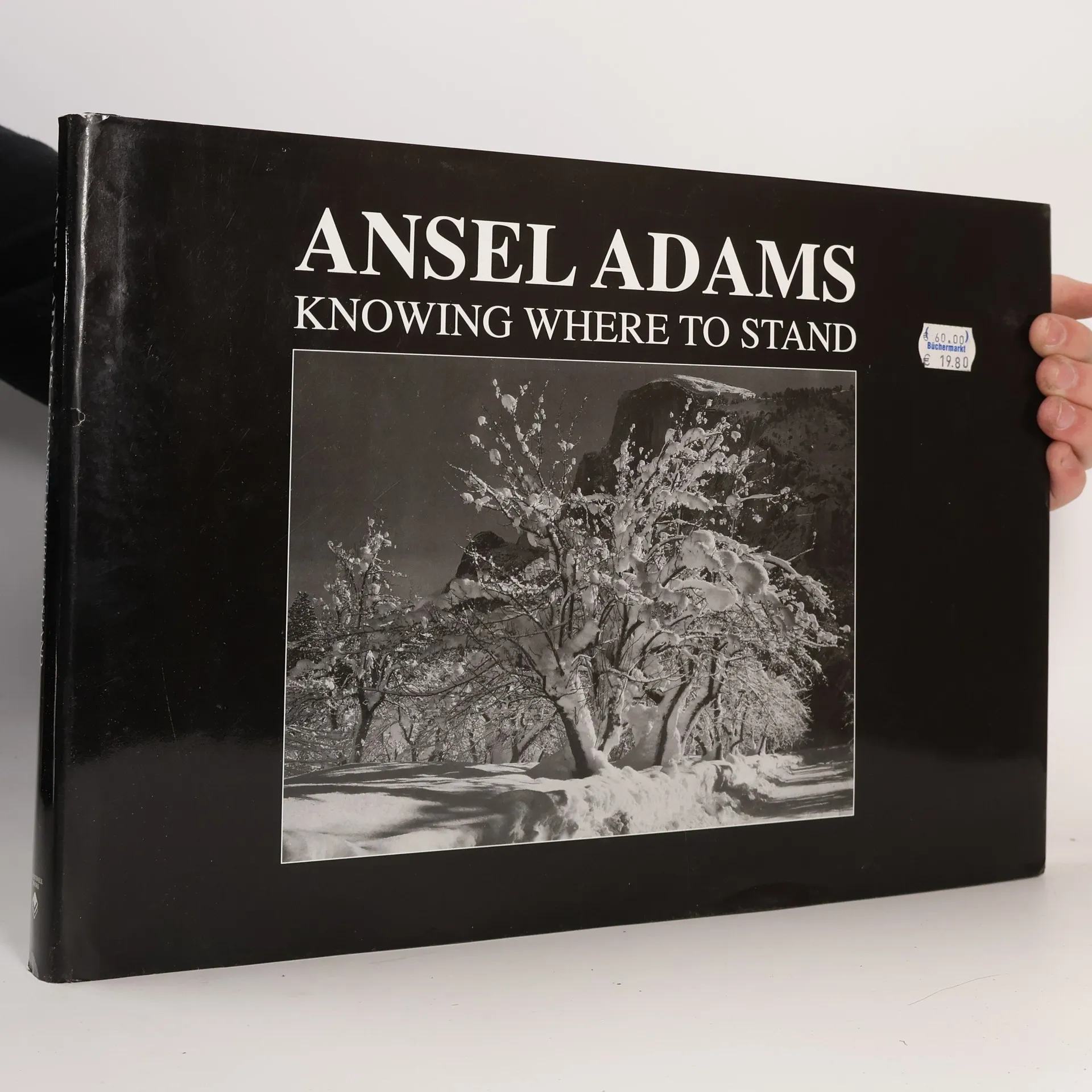
Ansel Knowing Where to Stand combines a short biography with over 250 of Ansel Adam's photographs. Starting with a pen portrait of the master photographer, the introduction continues with a timeline of his life and work, an analysis of his major commissions, and a discussion of his techniques and style. This Ansel Adams collection is unique in it’s approach to telling the story of Adams’ life and works through a comprehensive biography. Adams’ passion for the outdoors, especially of Yosemite National Park, is evident in his photos that live on through calendars, postcards and numerous other prints, showing off his environmentalist lifestyle. There's a section that looks at Adams' importance to the environment and national parks reflected in his association with the Ansel Adams Wilderness and Mount Ansel Adams, named for him after his death in 1984. Adams' work in these collections provides lovely examples of his skills not just in the way most people remember him, as a landscape photographer, but as a skilled practitioner of his art capable of providing masterpieces of portraiture and architectural photography. Pick up a copy of Ansel Knowing Where to Stand for anyone in your life who loves photographs or the outdoors, especially for those who are fans of Ansel Adams prolific work.
Britain from the Air
- 192bladzijden
- 7 uur lezen
Landscape format. Explores the past and present of British countryside and towns from a different perspective. Illustrated throughout with beautiful color photographs.
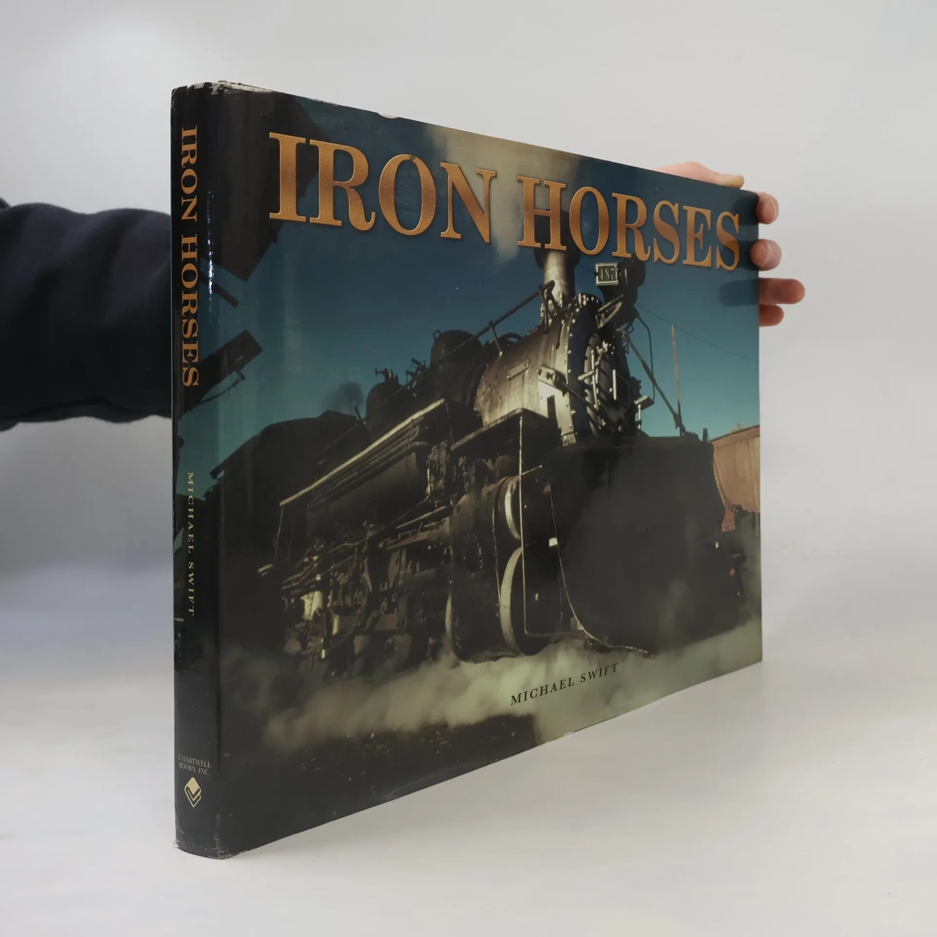
Iron Horse
- 256bladzijden
- 9 uur lezen
This book provides a type by type survey of the best American locomotives, discussing the great railroad companies, the manufacturers, the improvements in technology that allowed such leaps as increased pulling power, reliability, and serviceability, and which locomotives survive today. It does so by means of a wonderful collection of photographs, contemporary and modern.
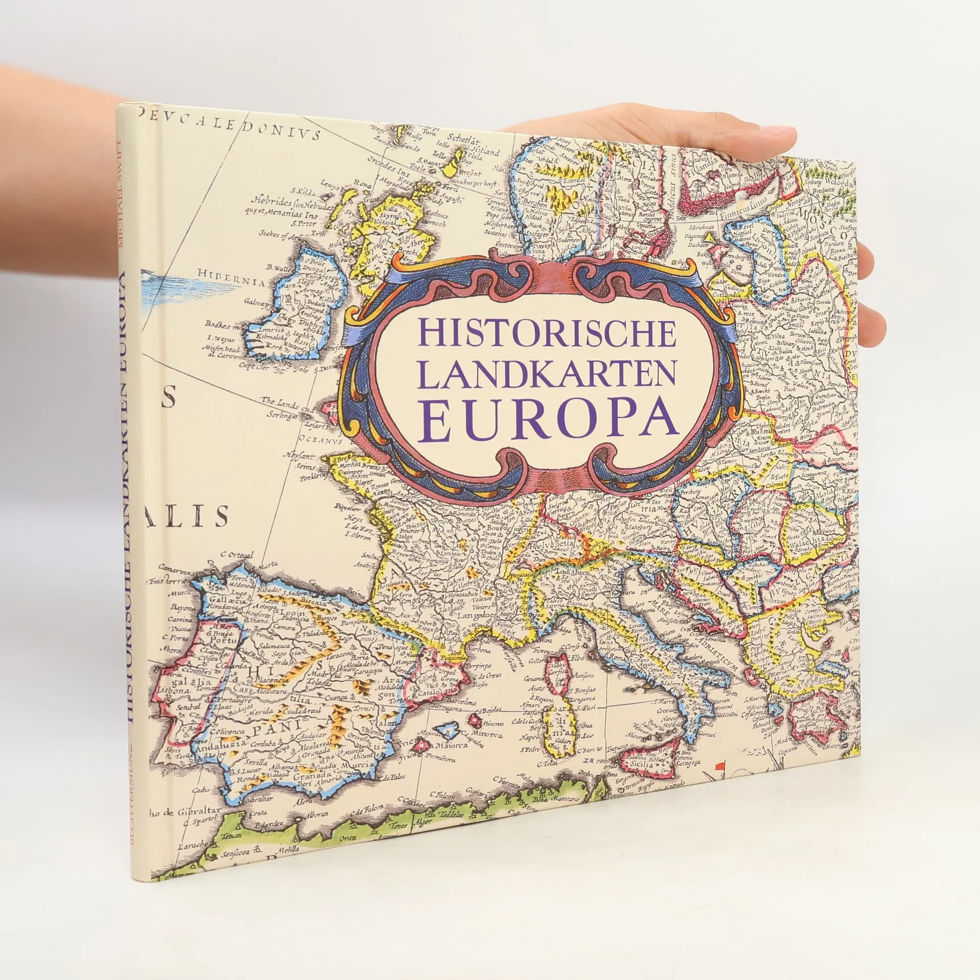
Historische Landkarten Europa
- 144bladzijden
- 6 uur lezen
Die Karten in diesem Buch stammen aus der Sammlung des Public Records Office in Kew, London. Diese hervorragend gestalteten Karten, die über viele Jahre aus verschiedenen Quellen in ganz Europa zusammengetragen wurden, sind bemerkenswerte Dokumente, die bisher nur Forschern zugänglich waren. Sie stammen aus den frühesten Tagen der professionellen Kartografie und zeichnen über drei Jahrhunderte europäischer Geschichte nach. Von den frühesten Darstellungen der Kartografiekunst im 16. Jahrhundert, als die Fähigkeiten zur Erstellung detaillierter Maßstabskarten erstmals entwickelt wurden, bis zu den eleganten Karten des 19. Jahrhunderts zeigen sie den Aufstieg und Fall von Imperien und die Entwicklung mächtiger Nationen. Mit einer Einführung, die die europäische Geschichte chronologisch darstellt, und detaillierten Beschreibungen, die den historischen Kontext jeder Karte erklären, ist dies ein faszinierendes Werk, das sowohl aufschlussreich als auch ansprechend ist.
Städte der Renaissance
- 264bladzijden
- 10 uur lezen
Die erste Ausgabe der Civitates Orbis Terrarum erschien 1572 in Köln. Der großartige Städteatlas, herausgegeben von Georg Braun und Franz Hogenberg, umfasst etwa 600 Ansichten und Pläne von Städten der ganzen Welt. Viele verschiedene Künstler waren an dem Werk beteiligt, darunter der bedeutende niederländische Miniaturenmaler Joris (Georg) Hoefnagel. Städte der Renaissance zeigt eine Auswahl von mehr als 70 dieser historischen Stadtansichten und bietet einen außergewöhnlichen Blick auf die Städte der damaligen Zeit. Es handelt sich größtenteils um europäische Städte, aber auch andere Städte sind abgebildet: von Cusco in Südamerika über Kairo in Ägypten bis hin zu Kolkata in Indien.