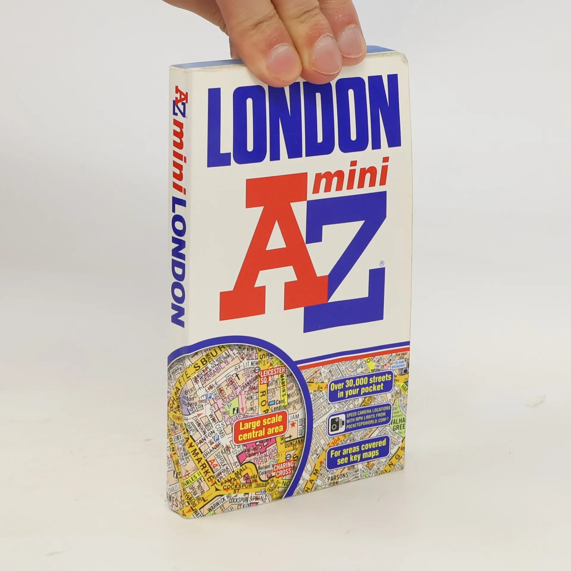
Pocket sized full colour atlas, extending to Neasden, Golders Green, Stoke Newington, Leytonstone and Wimbledon. 98 pages of maps at 3 inches to 1 mile, with 155 pages of street index. Also includes places and areas index, hospitals and stations and a central area Underground map.
Geographers A. Z. Map Company Boeken


Liverpool Street Atlas
- 240bladzijden
- 9 uur lezen
This A-Z map of Liverpool is a full colour, paperback street atlas featuring 120 pages of continuous street mapping which extends to include: *Maghull *Crosby *Bootle *Kirkby *Prescot *Huyton *St. Helens *Haydock *Widnes *Runcorn *Wallasey *Birkenhead *West Kirby *Heswall
This atlas of Shrewsbury, Telford and Bridgnorth contains 42 pages of coloured street mapping. The Shrewsbury coverage extends to include: *Harlescott, Monkmoor, Bayston Hill, Radbrook and Shelton. *Also featured is a large scale town centre map of Shrewsbury.
This A-Z map of Grimsby, Cleethorpes, Immingham and Louth is a full colour street atlas featuring 38 pages of street mapping to •Ulceby•Humberside International Airport•Healing•Laceby•Scartho•Humberston•Waltham•Tetney•Marshchapel•North Somercotes•Caistor•Market RasenIn addition, there are inset maps of Keelby, Grimsby docks and North Thoresby.Postcode districts, one-way streets and safety camera locations with their maximum speed are also featured on the mapping.The index section lists streets, selected flats, walkways and places of interest, place, area and station names, hospitals and hospices covered by this atlas.
This A-Z Map of the Isle of Wight is a full colour, paperback featuring 56 pages of continuous street mapping covering the whole island.Postcode districts, one-way streets and safety camera locations with their maximum speed are featured on the mapping.There is a 4 page 'Tourist Information' section about the history of the island and its topography with 'Travel & Transport' details on mainland ferries, island buses, railways and cycle routes.The index section lists streets, selected flats, walkways and places of interest, place, area, station, hospital and hospice names covered by this atlas.
This atlas of Brighton, Worthing, Hove, Newhaven and Shoreham-by-Sea includes separate coverage of Lewes and Seaford. The 41 pages of coloured street mapping features coverage •Findon, Durrington, Goring-by-Sea, Lancing, Southwick, Patcham, Falmer, Woodingdean, Saltdean, Rottingdean and Peacehaven with separate coverage of Steyning, Bramber and Upper Beeding.•Also included is a large scale street map of Brighton city centre.Postcode districts, one-way streets and safety camera locations with their maximum speed limit are featured on the mapping.The index section lists streets and selected flats, walkways and places of interest, place, area and station names, hospitals and hospices covered by this atlas.
Contains street maps at scale 3" to 1 mile, 11 pages of 4.5" to 1 mile maps covering the congested central area, an Underground map and West End cinema and theatre maps. Coverage extends to Stanmore, Barnet, Enfield, Woodford, Dagenham, Woolwich, Bromley, Croydon, Surbiton, Southall and Harrow.
This A-Z map of Bournemouth is a full colour street atlas featuring 63 pages of continuous street mapping to include: *Poole *Christchurch *Blashford *Ringwood *Wimborne Minster *Ferndown *Bournemouth Airport *Barton on Sea *Milford on Sea *Lymington
This atlas of Stratford-upon-Avon, Warwick and Royal Leamington Spa features 35 pages of coloured street mapping.The Warwick and Royal Leamington Spa coverage extends to Park, Leek Wootton (part), Milverton, Lillington, Cubbington, Hampton Magna, Heathcote, Whitnash, Radford Semele, Barford and Bishop's Tachbrook. The Stratford-upon-Avon coverage extends to (part), Tiddington, Alveston, Shottery and Bridge Town.Also included is a large scale map of the centre of Stratford-upon-Avon. There is separate coverage of Kenilworth, Henley-in-Arden, Bidford-on-Avon, Wellesbourne, Southam, Harbury and Bishop's Itchington. Postcode districts, one-way streets and safety camera locations with their maximum speed limit are featured on the mapping.There is a five page Guide to Selected Places of Interest which features coloured photographs, lists the sites alphabetically, and includes a brief descriptive text with telephone numbers where appropriate and their map reference.The index section lists streets, selected flats, walkways and places of interest, place, area and station names, hospitals and hospices covered by this atlas.
