Geïllustreerde Atlas Van Het Universum
- 304bladzijden
- 11 uur lezen

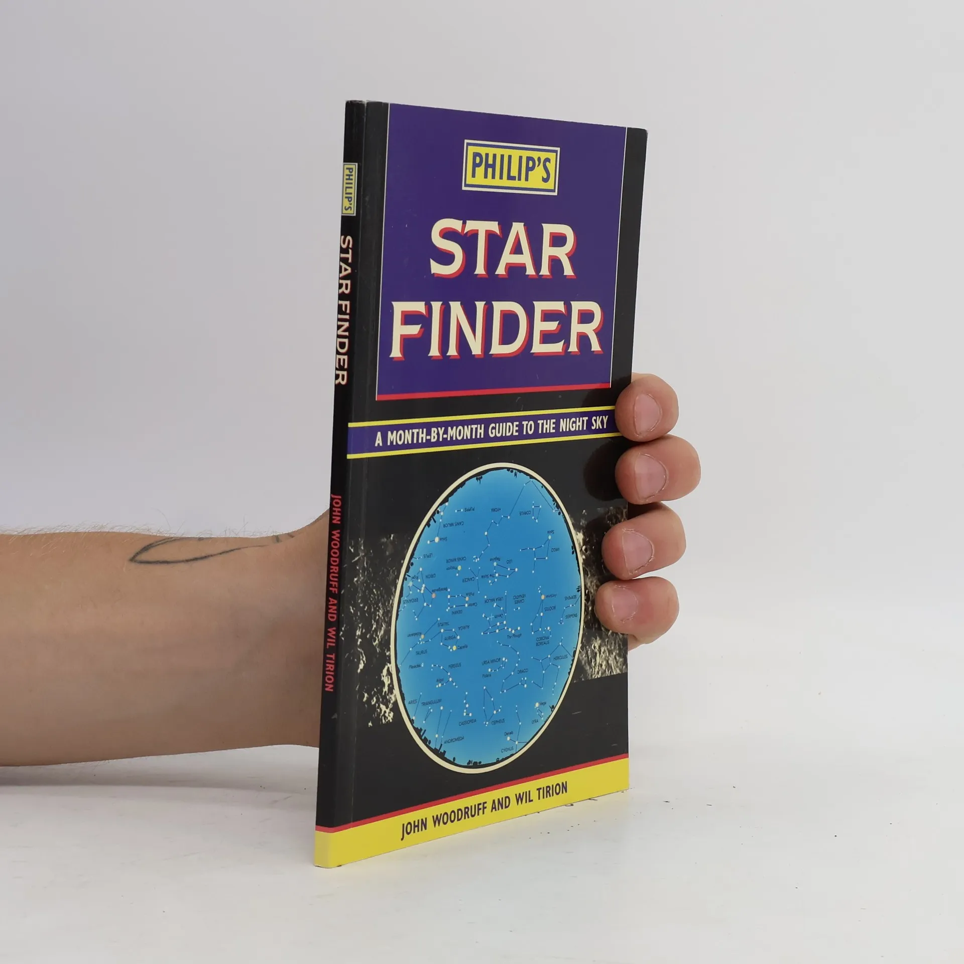
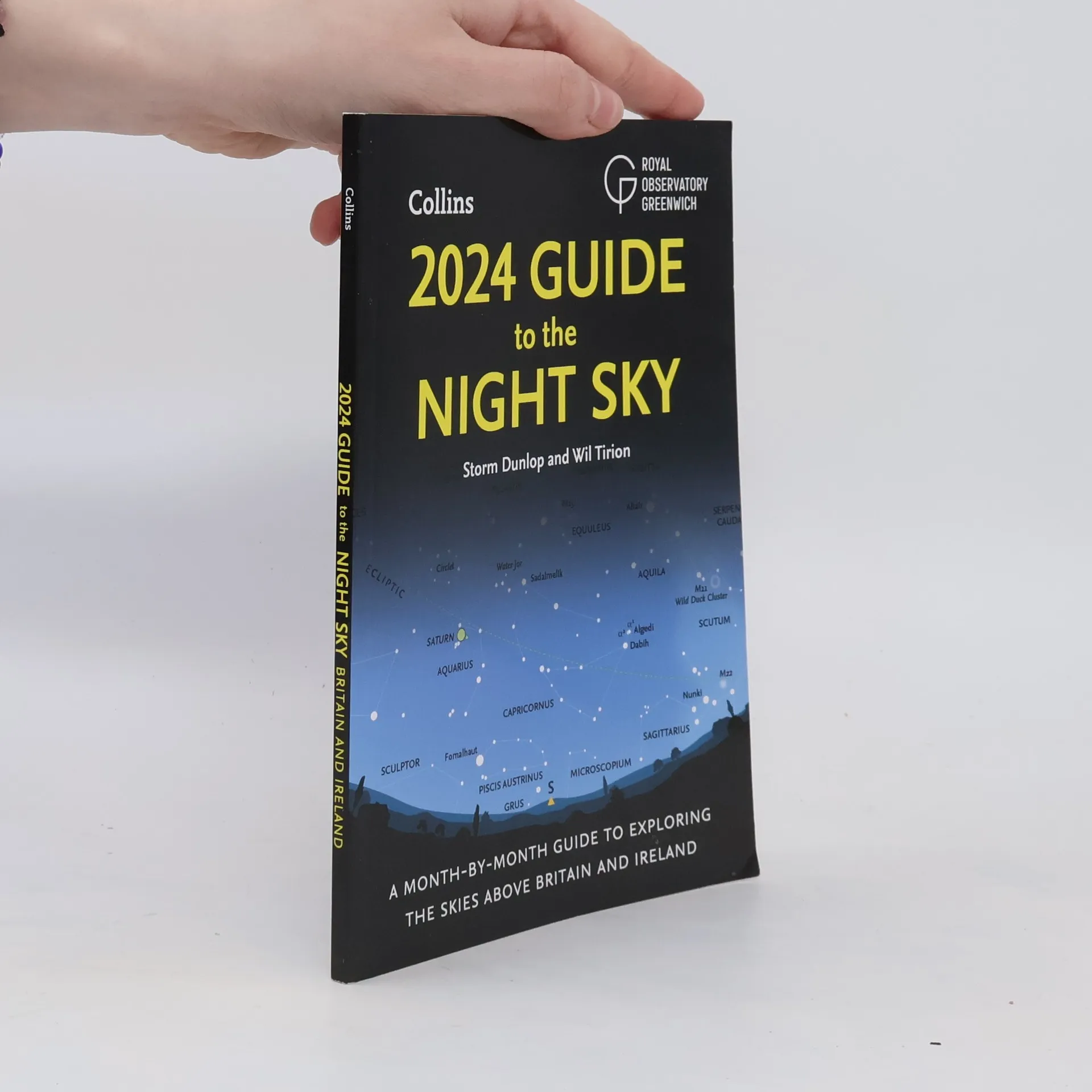

A Month-by-Month Guide to Exploring the Skies Above Britain and Ireland
This comprehensive guide offers readers an in-depth exploration of astronomy and stargazing, perfect for both beginners and seasoned enthusiasts. It delves into celestial phenomena, constellations, and the latest advancements in astronomical research. The author shares practical tips for observing the night sky, including equipment recommendations and techniques to enhance the stargazing experience. With engaging illustrations and easy-to-follow instructions, readers will gain a deeper appreciation for the wonders above them.
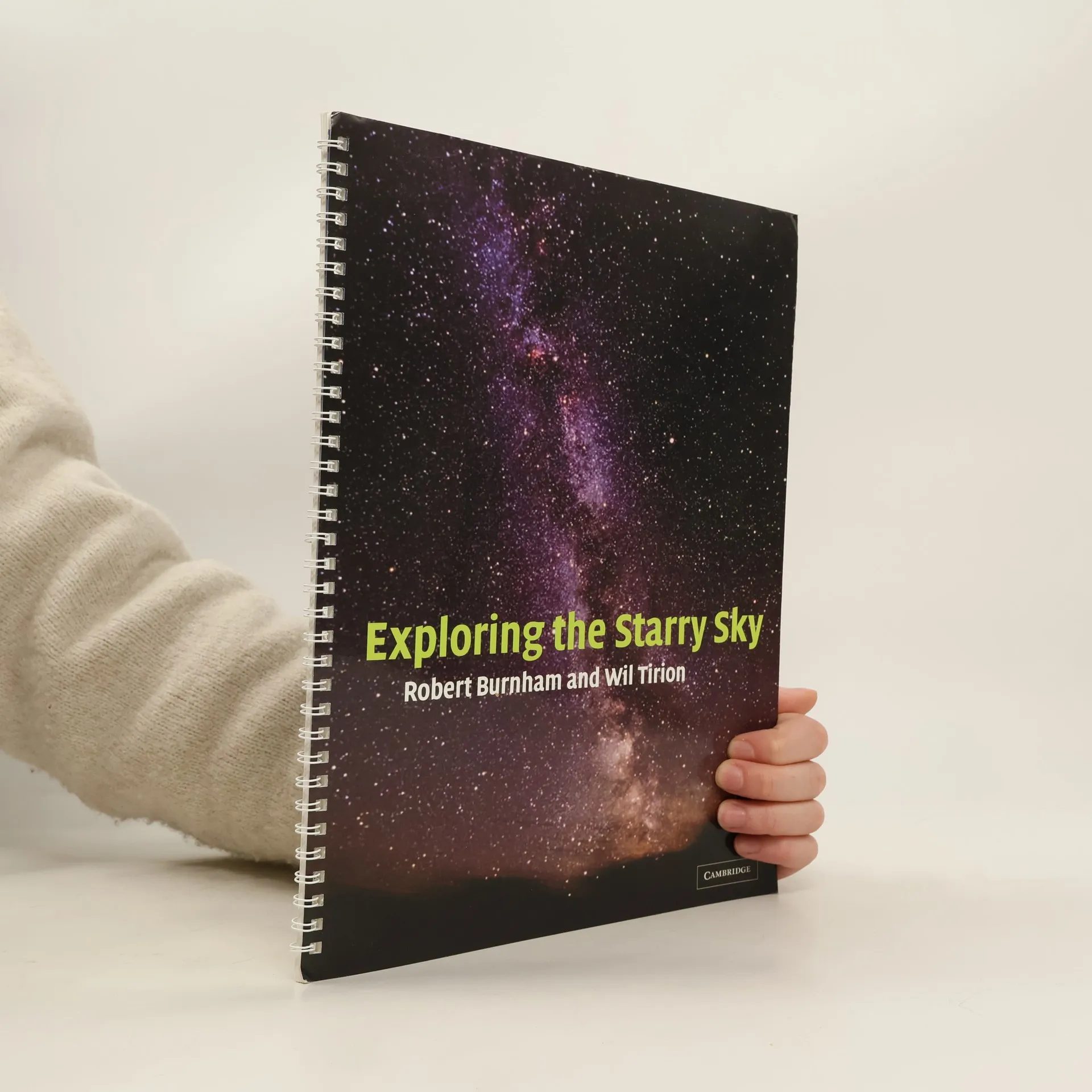
The perfect guide for anyone interested in stargazing for the first time, Exploring the Starry Sky features large, colorful, user-friendly star maps and includes simple directions for finding all of the major stars and constellations visible from the northern hemisphere. Two star charts display the major sights to be seen from suburban or rural locations, for each season, and more detailed maps spotlight special regions of interest. Robert Burnham has been an amateur astronomer since the mid-1950s. He has been a senior editory of Astronomy magazine and is the author of many books and CD-ROMS, including Comet Hale-Bopp: Find and Enjoy the Great Comet (Cambridge, 1997) Comet Explorer, and Great Comets (Cambridge, 2000).
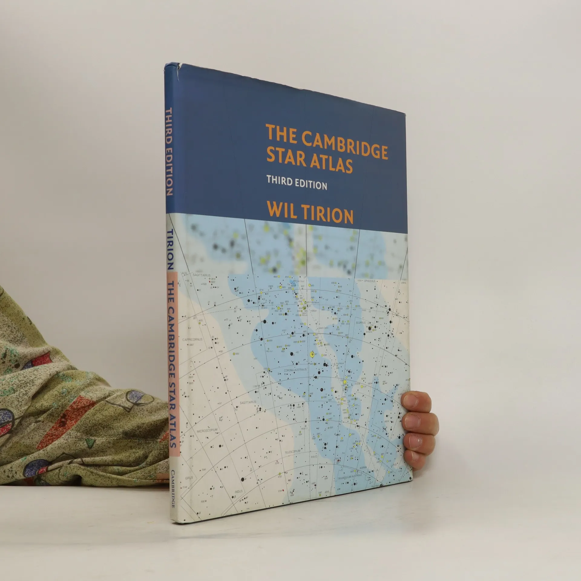
Developed by one of the foremost designers of astonomical maps, The Cambridge Star Atlas offers an unusual degree of breadth and detail for amateur and experienced astronomers. Northern and southern latitudes are included in a series of monthly sky charts and an atlas of the whole sky. Each of the 20 overlapping full color charts shows stars down to magnitude 6.5, together with about 900 nonstellar objects, such as clusters and galaxies, which can be seen with binoculars or a small telescope. This new edition features 52 color maps, improved versions of all the charts, and a thorough revision of the text and star data based on the latest information. In addition, there is a comprehensive double page map of the Moon's surface, which shows craters and other named features. Clear, authoritative, and easy-to-use, The Cambridge Star Atlas is an ideal reference for sky watchers everywhere, throughout the year. Wil Tirion began his first star atlas as a hobby, mapping the whole sky on five maps. It was published in the Encyclopedia of Astronomy and soon after was released as a separate set of maps by the British Astronomical Association. In 1983, Tirion began working as a full-time uranographer, or sky cartographer. Since then, he has contributed to many books and magazines on astronomy. He lives in the Netherlands.
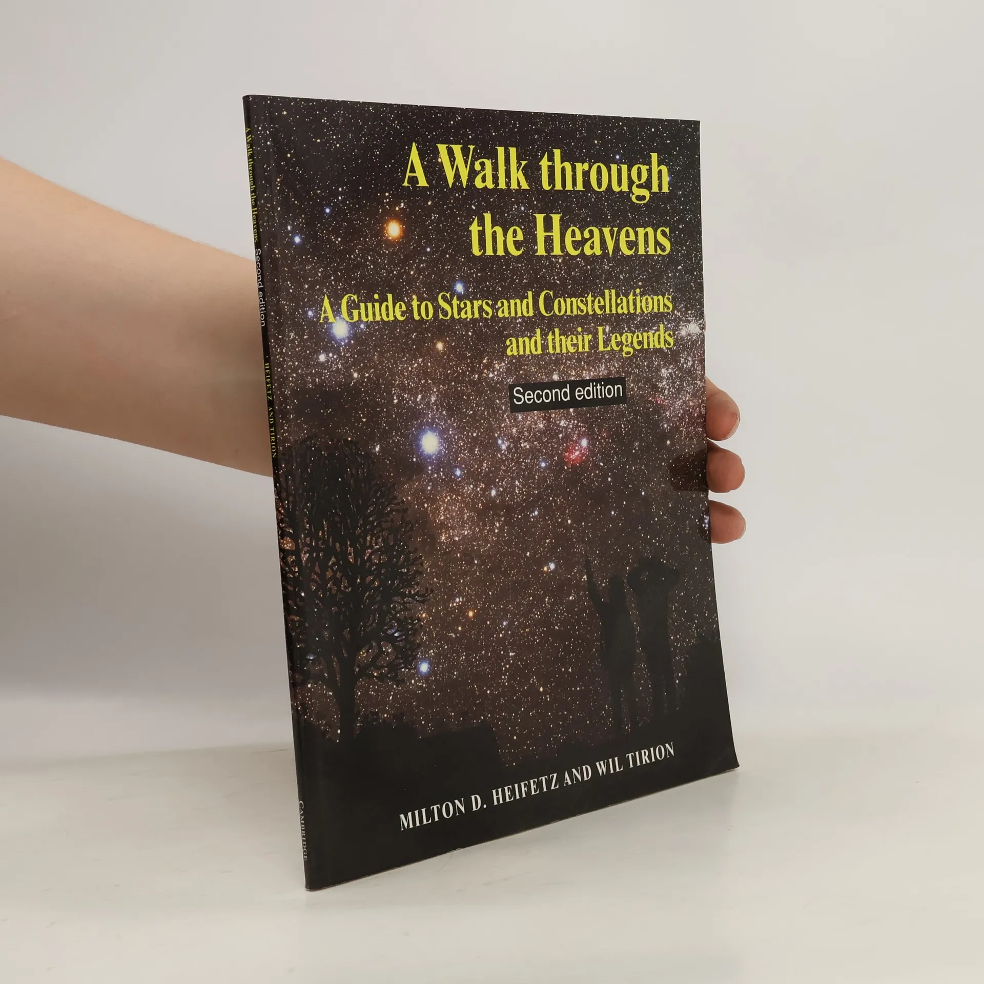
What star is that? Where's the Great Bear? Who was Andromeda? A Walk through the Heavens is your guide to the pathways of the night sky, answering the commonest questions about what you can see up there. There are simplified maps of the constellations, together with instructions on how to gauge their sizes and the distances between them. With this information you can find the constellations easily, and make a journey by eye from one constellation to the next. Ancient myths surrounding the constellations are retold, enriching our understanding of how historical peoples saw the awe-inspiring spectacle of a sky sprinkled with stars. This book, magically illustrated by Wil Tirion, does not require any instrument or telescope. It is an ideal introduction to launch a young astronomer on a journey across starlit skies.
This work intends to serve as a concise, month-by-month calendar for star watchers in the Southern Hemisphere. It features 12 charts showing the position of stars, constellations and other celestial objects in both northerly and southerly directions for each month of the year.
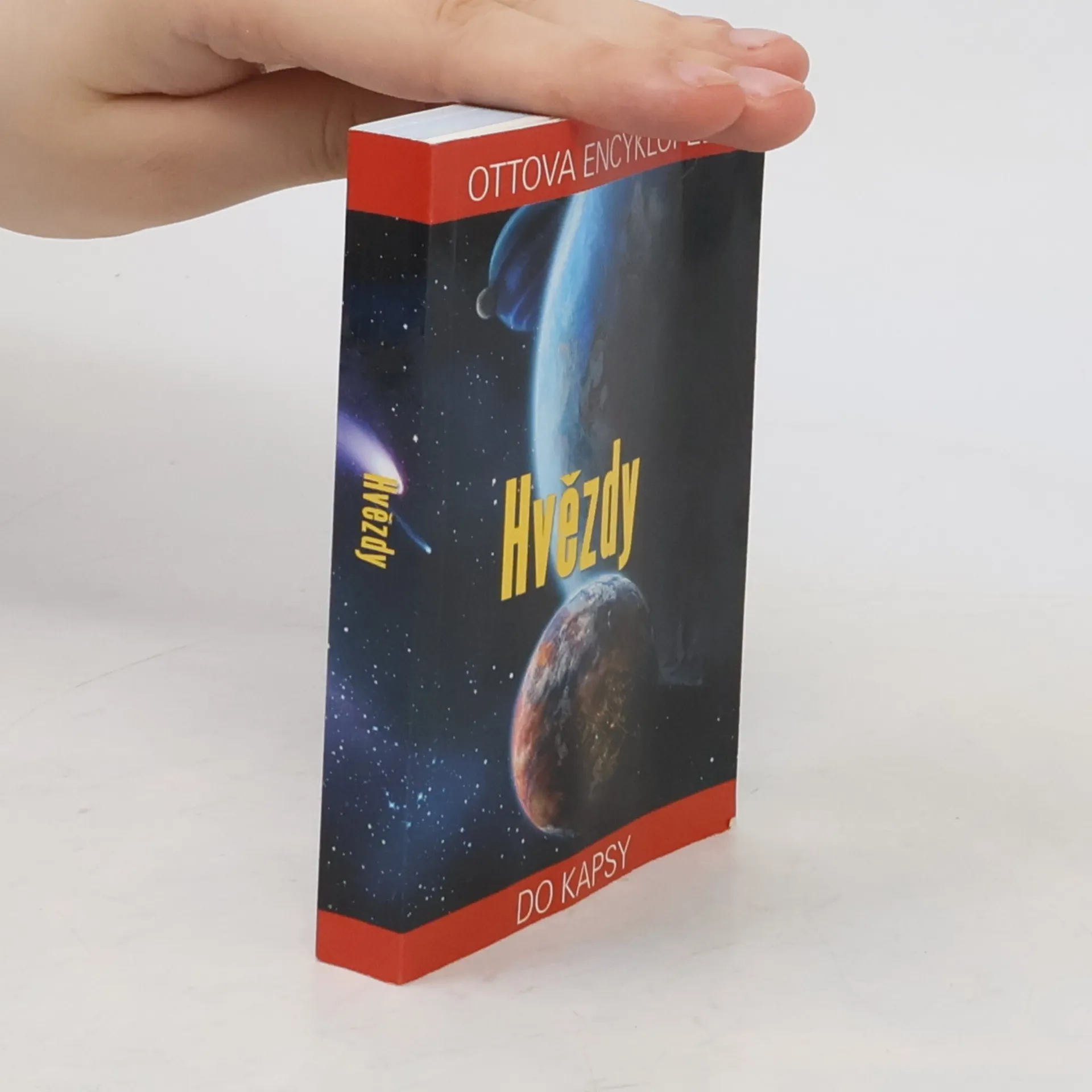
Kapesní atlas obsahuje 88 souhvězdí celé oblohy dle abecedy.
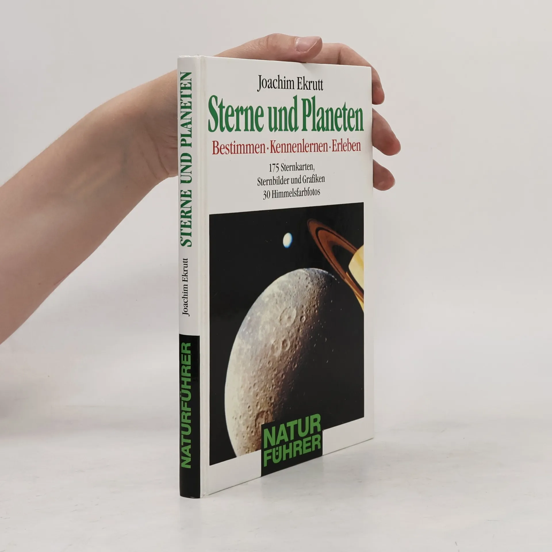
Seit über 10 Jahren bestimmen Hobbyastronomen mit dem Band "Sterne und Planeten" von Joachim Ekrutt Sterne und Sternbilder erfolgreich. Jetzt erscheint die aktualisierte Neuausgabe dieses Longsellers, gültig bis zum Jahr 2010. Auf 72 monatlich geordneten Sternkarten, entwickelt von Will Tirion, sind alle Sternkonstellationen, die mit bloßem Auge gut sichtbar sind, dargestellt - und zwar weltweit! Mit diesen Sternkarten ist es möglich, von nahezu jedem Ort der Erde aus Sterne, Sternbilder und Planeten zu bestimmen. Ein astronomischer Kalender gibt einen guten Überblick über die wichtigsten Himmelsereignisse der nächsten 10 Jahre. Zahlreiche Grafiken, Tabellen und ein ausführliches Lexikon der Himmelskörper machen den Band zu einem praktischen und hilfreichen Begleiter für viele Sternstunden.
Guida fotografica del cielo notturno visto da ogni angolo della terra
Una guida naturalistica chiarissima e dettagliata all'osservazione del cielo notturno. Il volume contiene la descrizione completa di tutte le costellazioni con carte stellari e mappe celesti che mostrano, mese dopo mese, quello che si può vedere nei due emisferi. Inoltre splendide fotografie con la descrizione dei principali pianeti e satelliti del Sistema Solare. Bella e di facile consultazione, questa guida con più di 700 illustrazioni costituisce un atlante completo del cielo, essenziale per gli appassionati di ogni età.
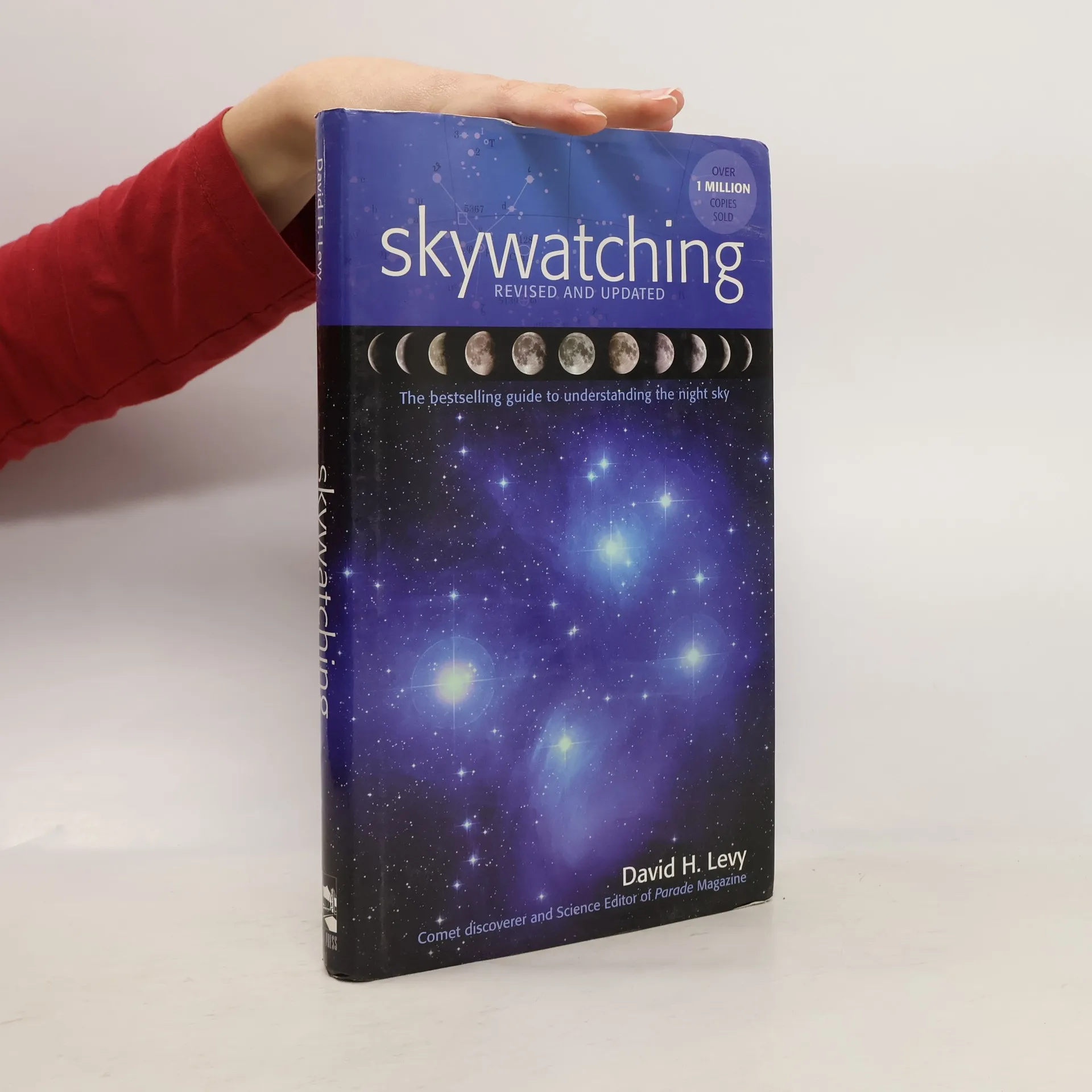
Skywatching is a comprehensive, indispensable guide to the magic and mystery of the heavens, from the glow of the night's first star to the splendor of distant galaxies. Authoritative, lavishly photographed, and with illustrated guides to the wonders of the natural world around us. Clear, accessible format, charts, diagrams, field tips, practical pointers and historical profiles.
Velký ilustrovaný atlas vesmíru je komplexní průvodce osvětlující dosavadní poznatky o vesmíru a jeho zákonitostech včetně našeho místa v něm. Najdete zde stovky speciálně vytvořených map, grafických znázornění a ilustrací, které spolu s nejnovějšími barevnými fotografiemi objektů hlubokého vesmíru, které byly pořízeny kosmickými sondami či Hubblovým teleskopem, dokumentují vesmír lépe, než doposud vydané knihy s touto tematikou.
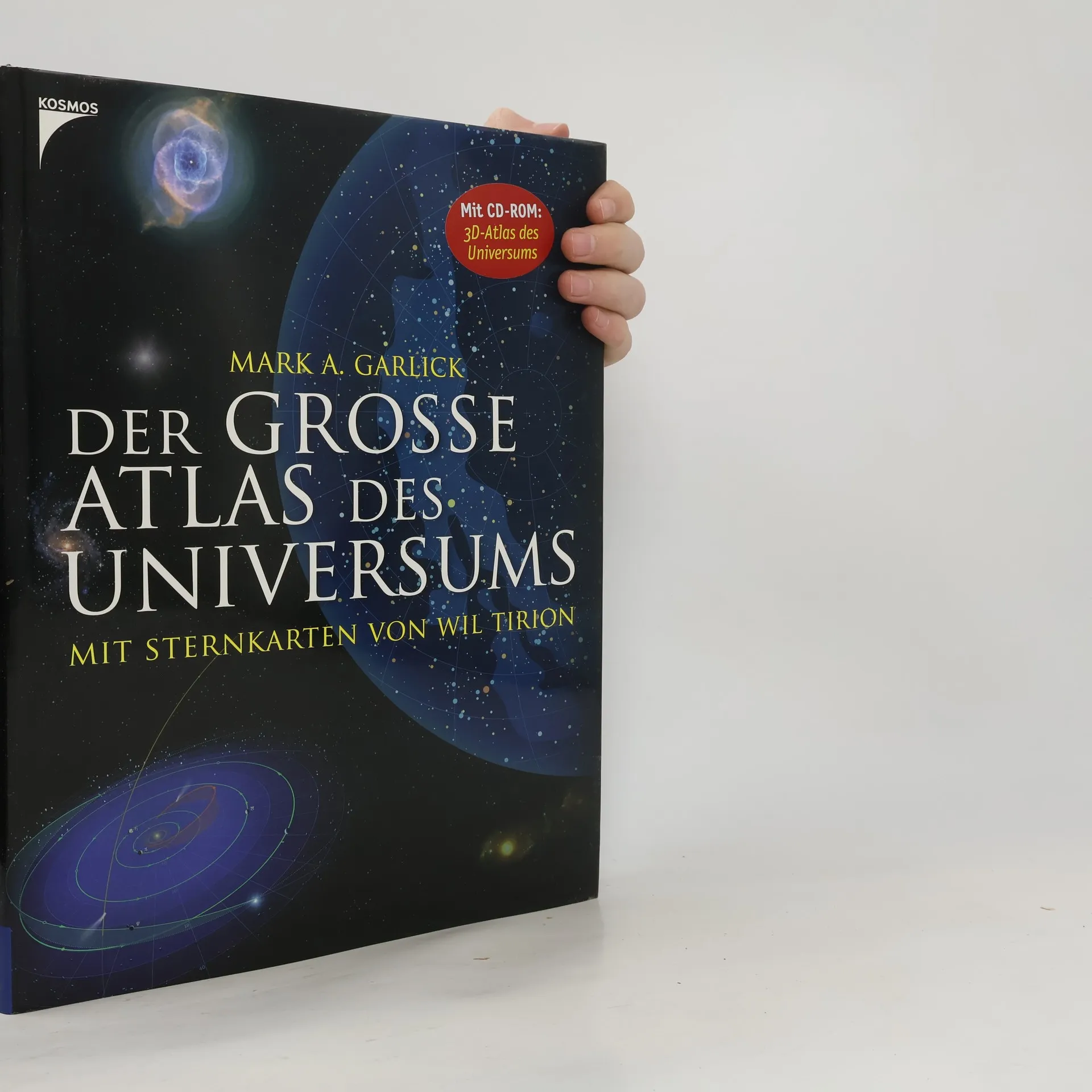
Die unendliche Weite: Unser Universum. So unglaublich spannend, vielfältig und doch kompliziert zu verstehen. Dieses toll aufgemachte Buch versucht uns etwas näher an das Mysterium Universum heranzuführen. Mit über 800 Fotos, Abbildungen und Sternenkarten, mit wichtigen Zahlen, Fakten und Daten stellt das Buch einen sehr umfangreichen und vollständigen Atlas dar. Das Buch ist übersichtlich in die Kategorien das Sonnensystem, das Universum, Himmelsbeobachtungen und Erforschung des Weltalls eigeteilt. Diese Obertitel beinhalten wiederum viele spannende Untertitel. Im Buch befinden sich wunderschöne Bilder und verständlich dargestellte Grafiken. Auch sind die Seiten nicht überladen sondern sehr ansprechend und farblich harmonisch gestaltet. Das Buch ist für alle universumbegeisterten Leser/-innen sehr empfehlenswert. Die Texte sind anspruchsvoll aber auf das Wichtigste reduziert. So können sich auch nicht so geübte Leser/-innen ohne Angst an das Buch wagen. Ab 10 Jahren, *****, Sabine Springinsfeld.