
Uitverkocht

Parameters
- 128bladzijden
- 5 uur lezen
Meer over het boek
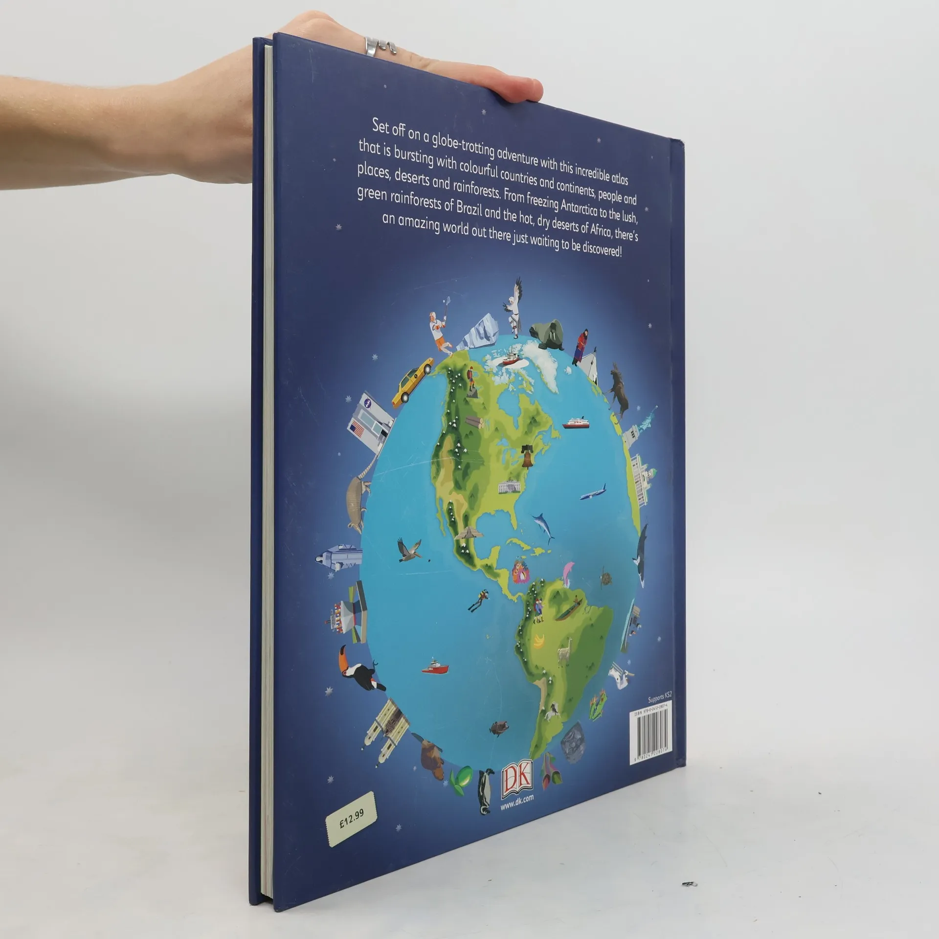
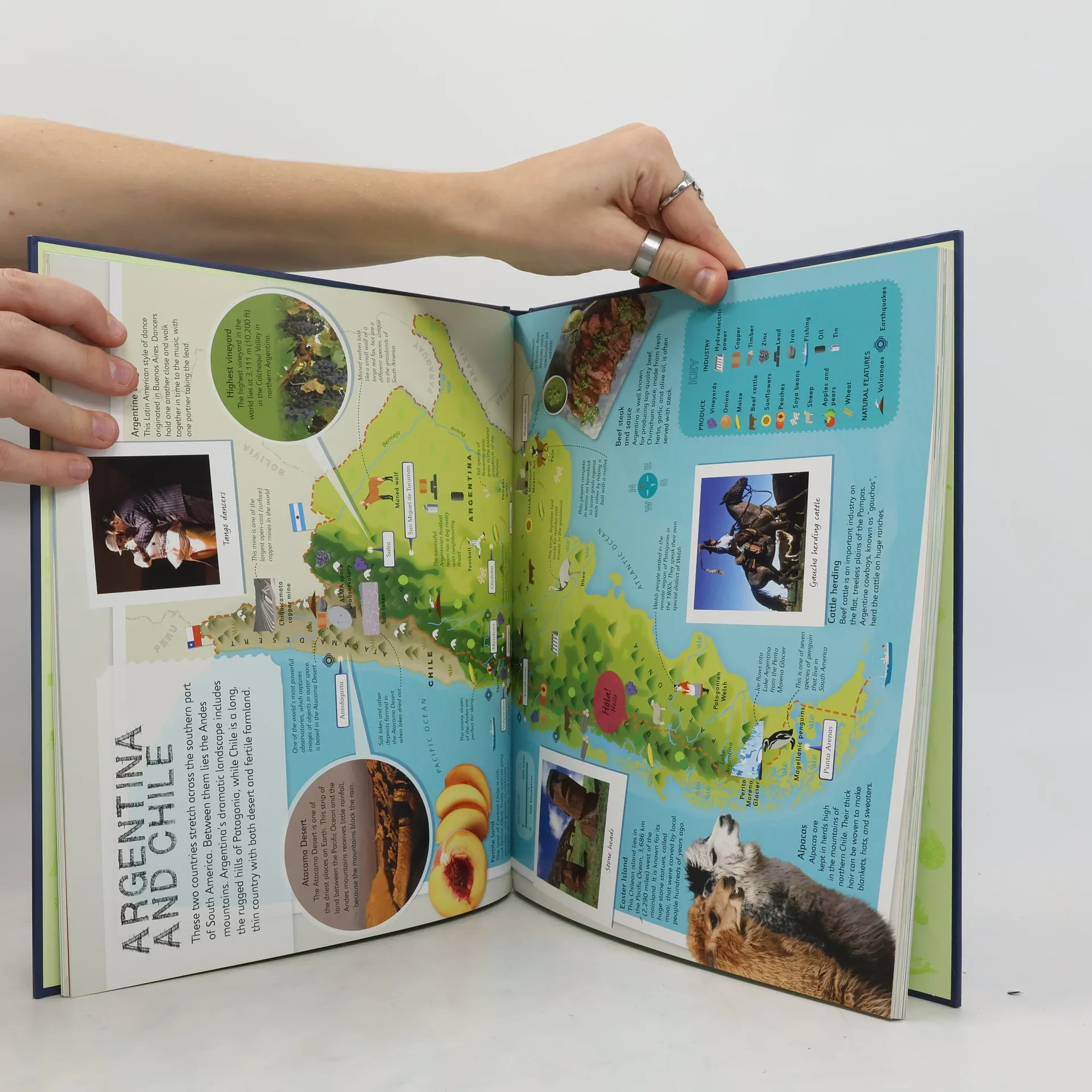
DK's Children's Illustrated Atlas brings geography to life; packed with more than 50 colourful maps for kids and fascinating facts about the countries of the world. Each map is bursting with information, such as climates, populations, famous sites, mountains and rivers, and natural wonders of the world. The atlas also includes a world map, with a political map for each continent. Through each map children are shown how to read a map and use a key, compass and scale. Charming and informative, the Children's Illustrated Atlas is a key addition to every child's library

Een boek kopen
Children's Illustrated Atlas, Auteurscollectief
- Taal

- Jaar van publicatie
- 2016
- product-detail.submit-box.info.binding
- (Hardcover)
Zodra we het ontdekt hebben, sturen we een e-mail.
Betaalmethoden
We missen je recensie hier.
- Taal
- Engels
- Auteurs
- Auteurscollectief
- Jaar van publicatie
- 2016
- Formaat
- Hardcover
- Aantal pagina's
- 128
- ISBN10
- 0241228077
- ISBN13
- 9780241228074
- Reeks
- Tags
- Non-fictie, Kaarten en reizen, Geografie & Plaatsbeschrijving, Handleidingen en Gidsen, Kaarten & Atlassen
- Beoordeling
- 4,75 van 5
- Aantekening
- DK's Children's Illustrated Atlas brings geography to life; packed with more than 50 colourful maps for kids and fascinating facts about the countries of the world. Each map is bursting with information, such as climates, populations, famous sites, mountains and rivers, and natural wonders of the world. The atlas also includes a world map, with a political map for each continent. Through each map children are shown how to read a map and use a key, compass and scale. Charming and informative, the Children's Illustrated Atlas is a key addition to every child's library