
Je koopt precies het boek dat op de foto staat

Parameters
Meer over het boek
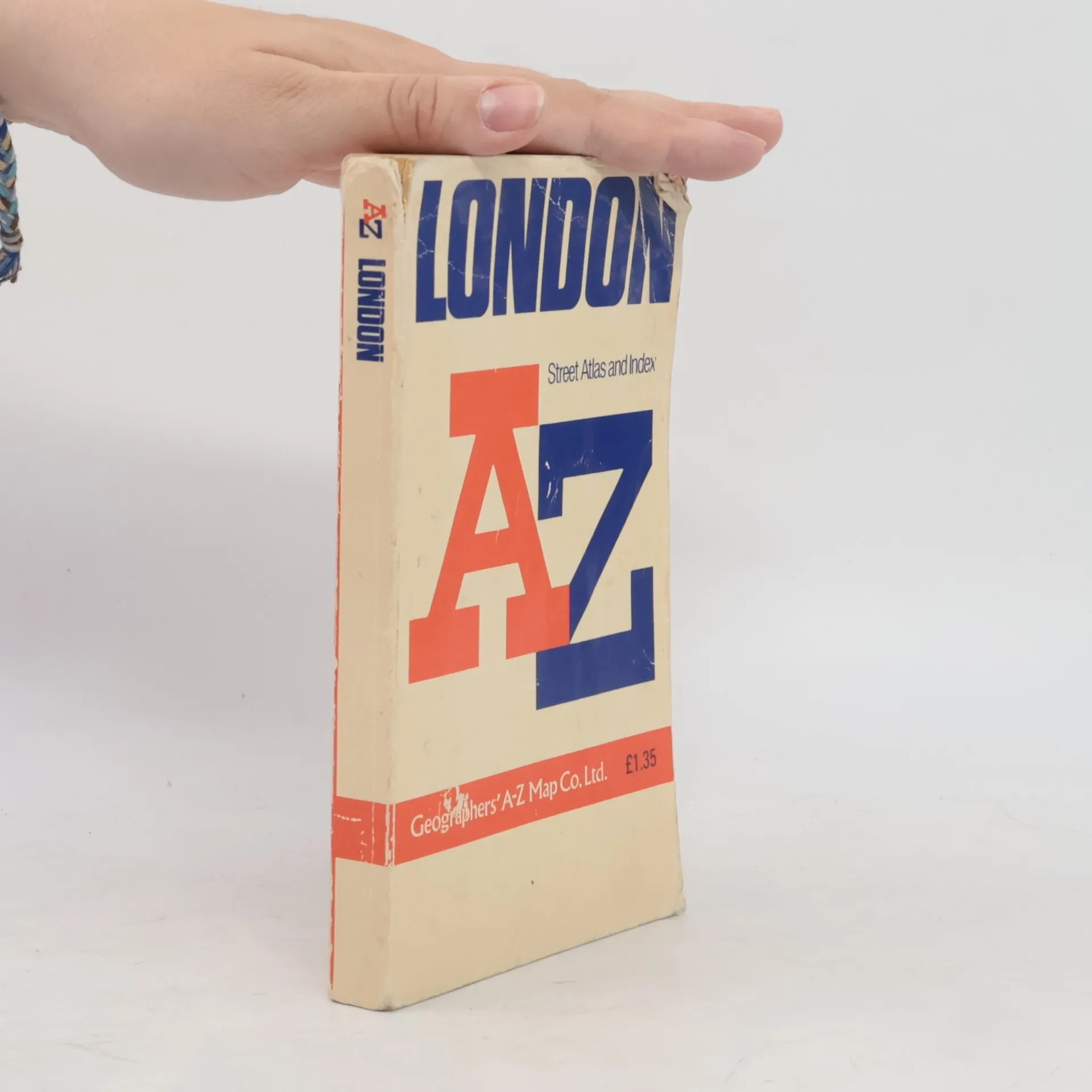
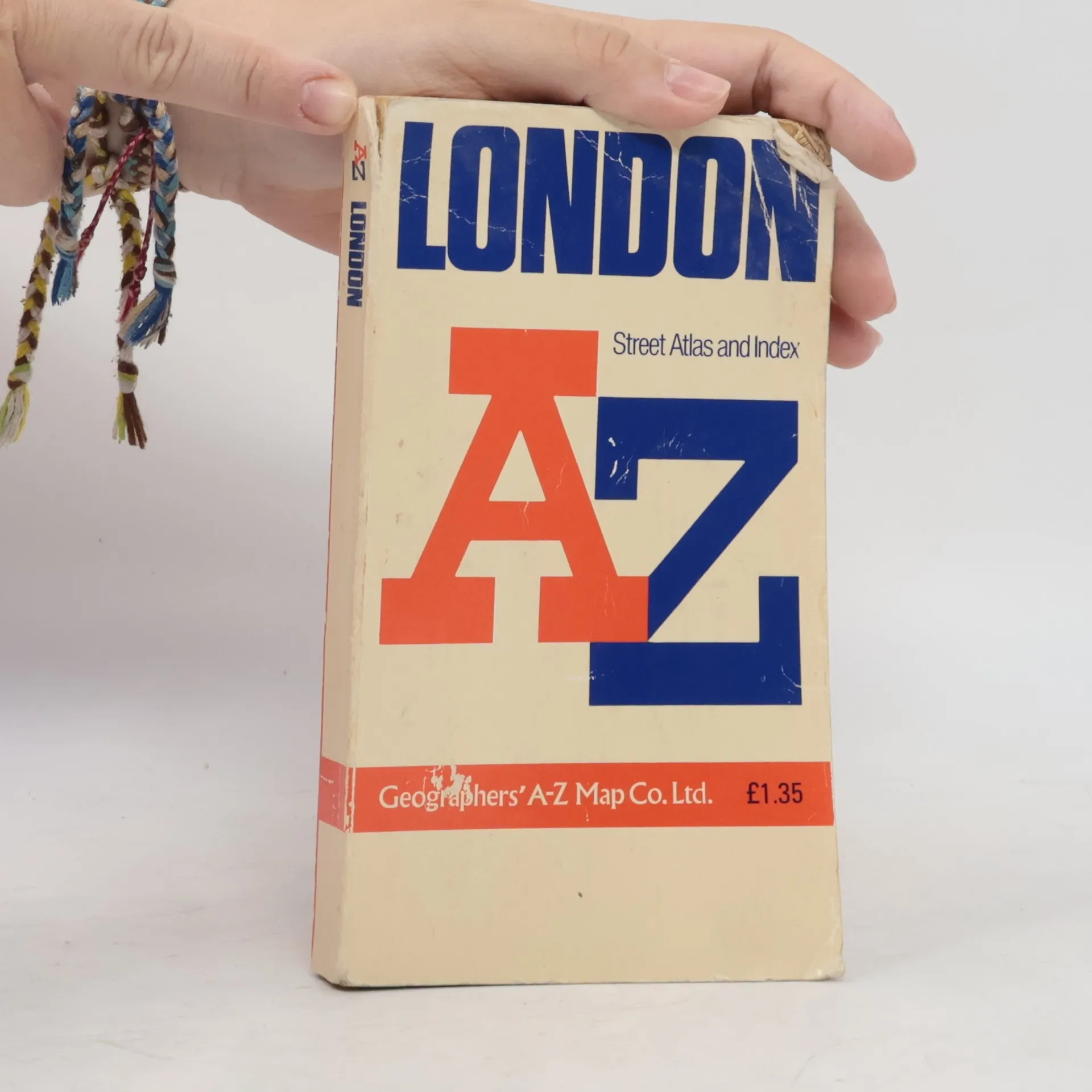
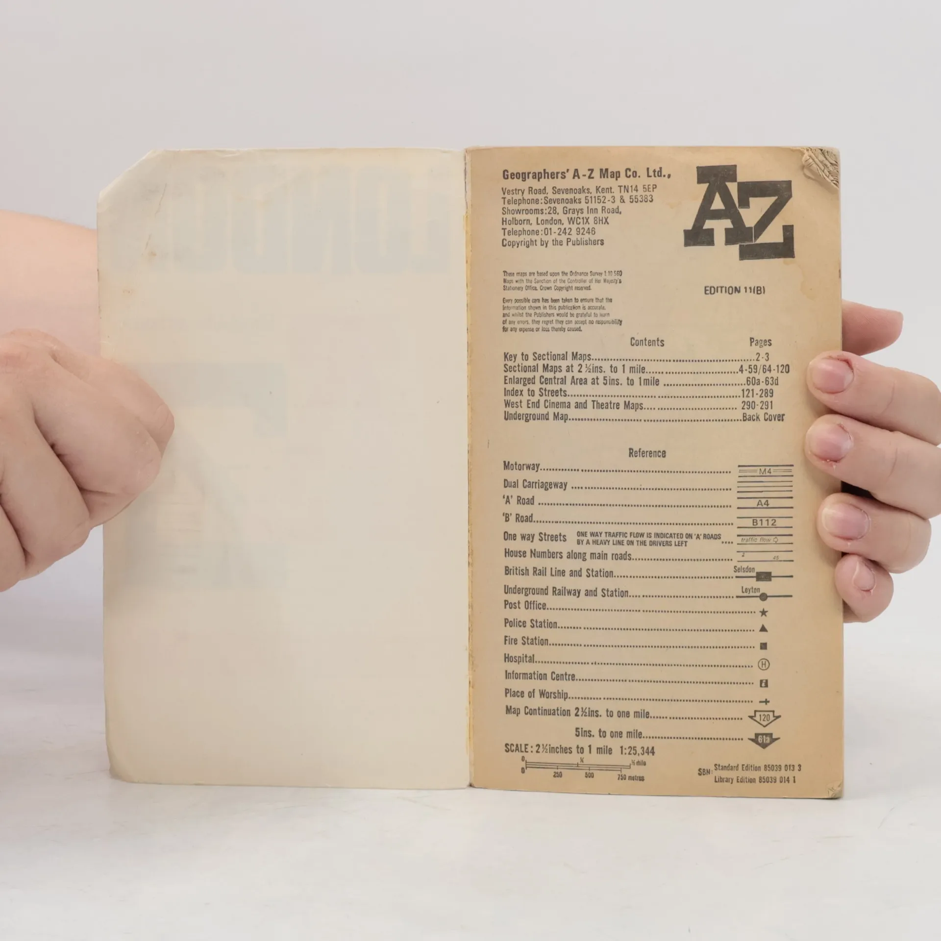
Contains street maps at scale 3" to 1 mile, 11 pages of 4.5" to 1 mile maps covering the congested central area, an Underground map and West End cinema and theatre maps. Coverage extends to Stanmore, Barnet, Enfield, Woodford, Dagenham, Woolwich, Bromley, Croydon, Surbiton, Southall and Harrow.


Een boek kopen
AZ London Street Atlas, Auteurscollectief
- Taal

- Jaar van publicatie
- 1990
- product-detail.submit-box.info.binding
- (Paperback),
- Staat van het boek
- Beschadigd
- Prijs
- € 1,53
Betaalmethoden
We missen je recensie hier.
- Ondertitel
- Street Atlas Index
- Taal
- Engels
- Auteurs
- Auteurscollectief
- Uitgever
- Geographers' A-Z Map Company
- Jaar van publicatie
- 1990
- Formaat
- Paperback
- ISBN10
- 0850390133
- ISBN13
- 9780850390131
- Reeks
- Beoordeling
- 4,45 van 5
- Aantekening
- Contains street maps at scale 3" to 1 mile, 11 pages of 4.5" to 1 mile maps covering the congested central area, an Underground map and West End cinema and theatre maps. Coverage extends to Stanmore, Barnet, Enfield, Woodford, Dagenham, Woolwich, Bromley, Croydon, Surbiton, Southall and Harrow.