
Uitverkocht
Meer over het boek
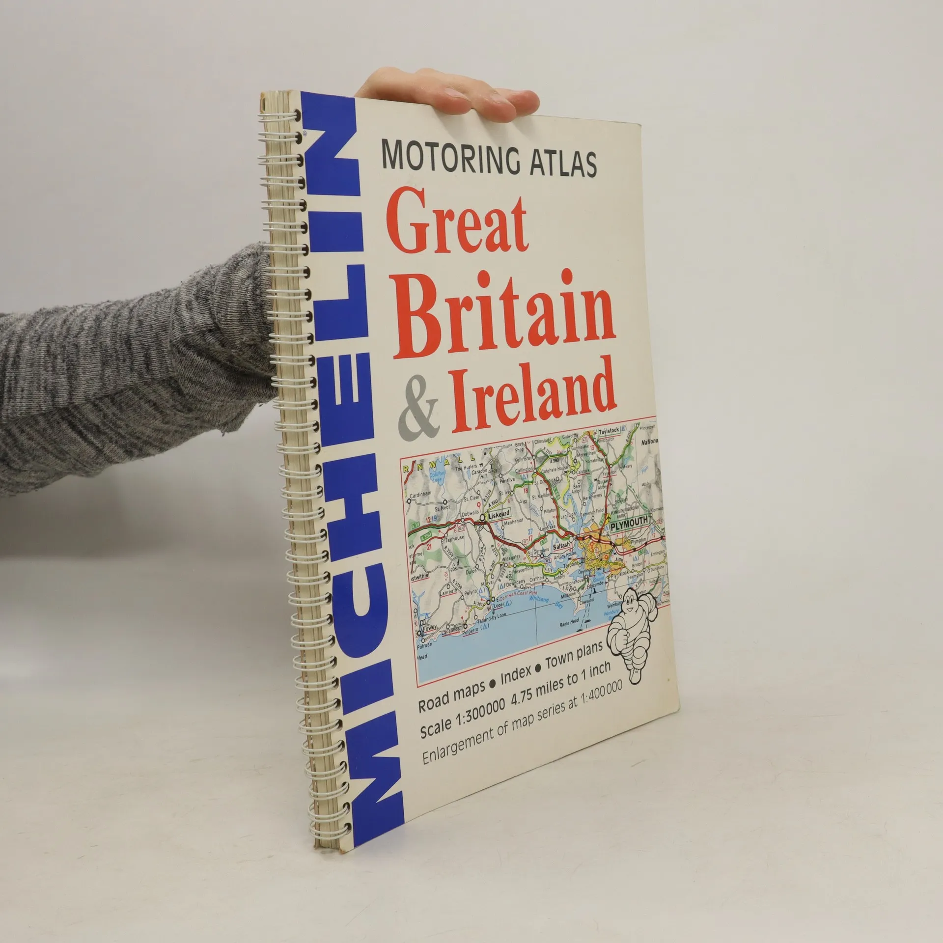
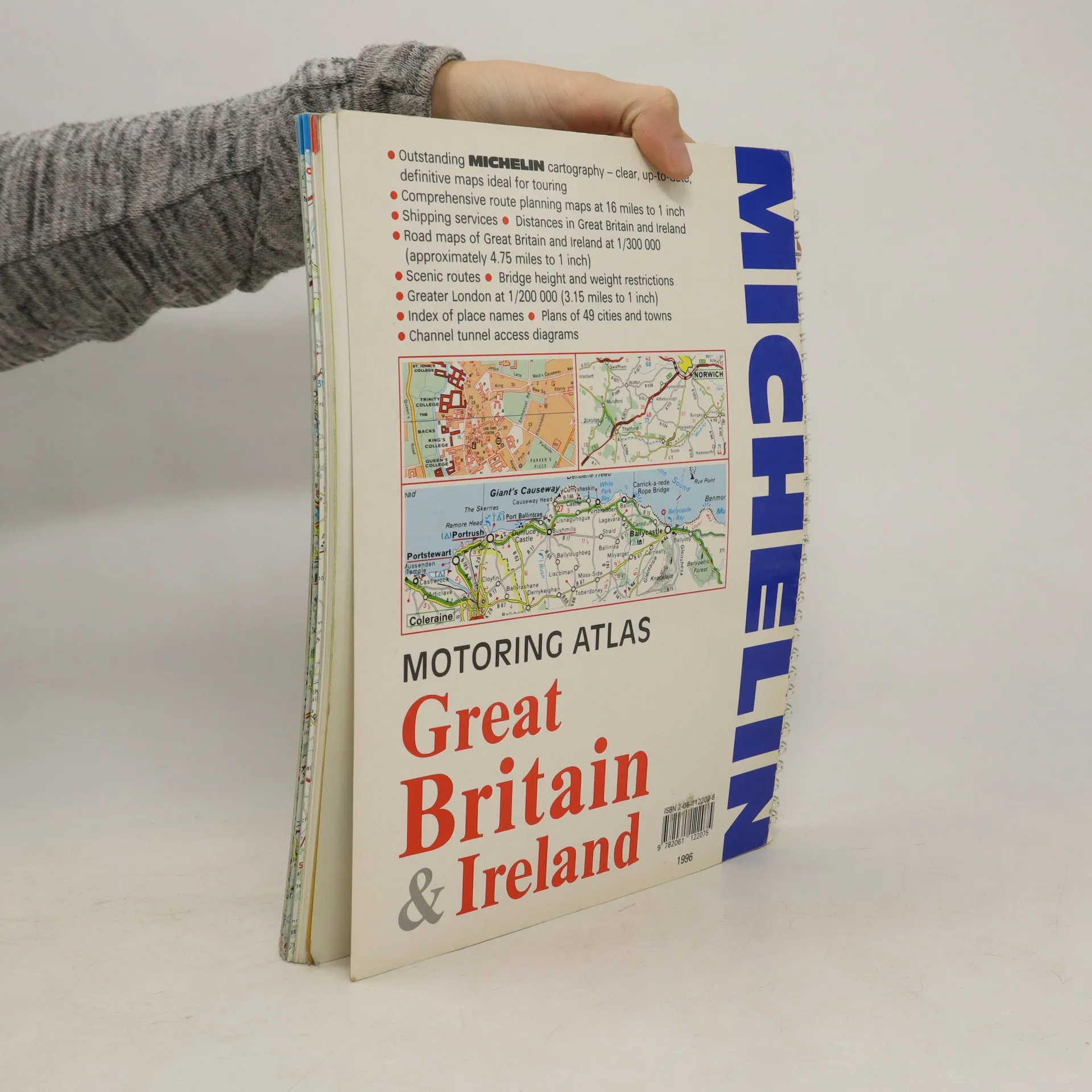
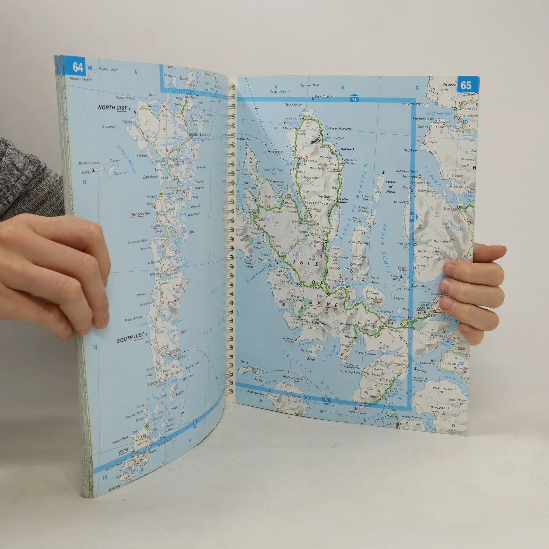
A motoring atlas of Great Britain and Ireland, with cartography at a scale of 1:300,000. Scenic routes are indicated, and other features include shipping services, distances, bridge height and weight restrictions, 49 city and town plans, and Channel Tunnel access diagrams.
Een boek kopen
Motoring Atlas Great Britain & Ireland, Auteurscollectief
- Taal

- Jaar van publicatie
- 1996
- product-detail.submit-box.info.binding
- (ring)
Zodra we het ontdekt hebben, sturen we een e-mail.
Betaalmethoden
We missen je recensie hier.
- Titel
- Motoring Atlas Great Britain & Ireland
- Taal
- Engels
- Auteurs
- Auteurscollectief
- Uitgever
- Michelin Travel Publications
- Jaar van publicatie
- 1996
- Formaat
- ring
- Aantal pagina's
- 147
- ISBN10
- 2061122078
- ISBN13
- 9782061122075
- Reeks
- Beoordeling
- 3 van 5
- Aantekening
- A motoring atlas of Great Britain and Ireland, with cartography at a scale of 1:300,000. Scenic routes are indicated, and other features include shipping services, distances, bridge height and weight restrictions, 49 city and town plans, and Channel Tunnel access diagrams.