
Uitverkocht


Meer over het boek
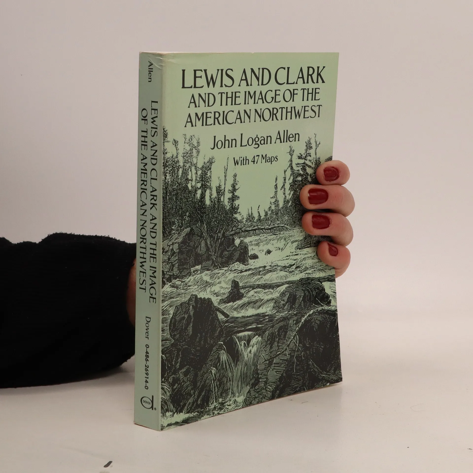
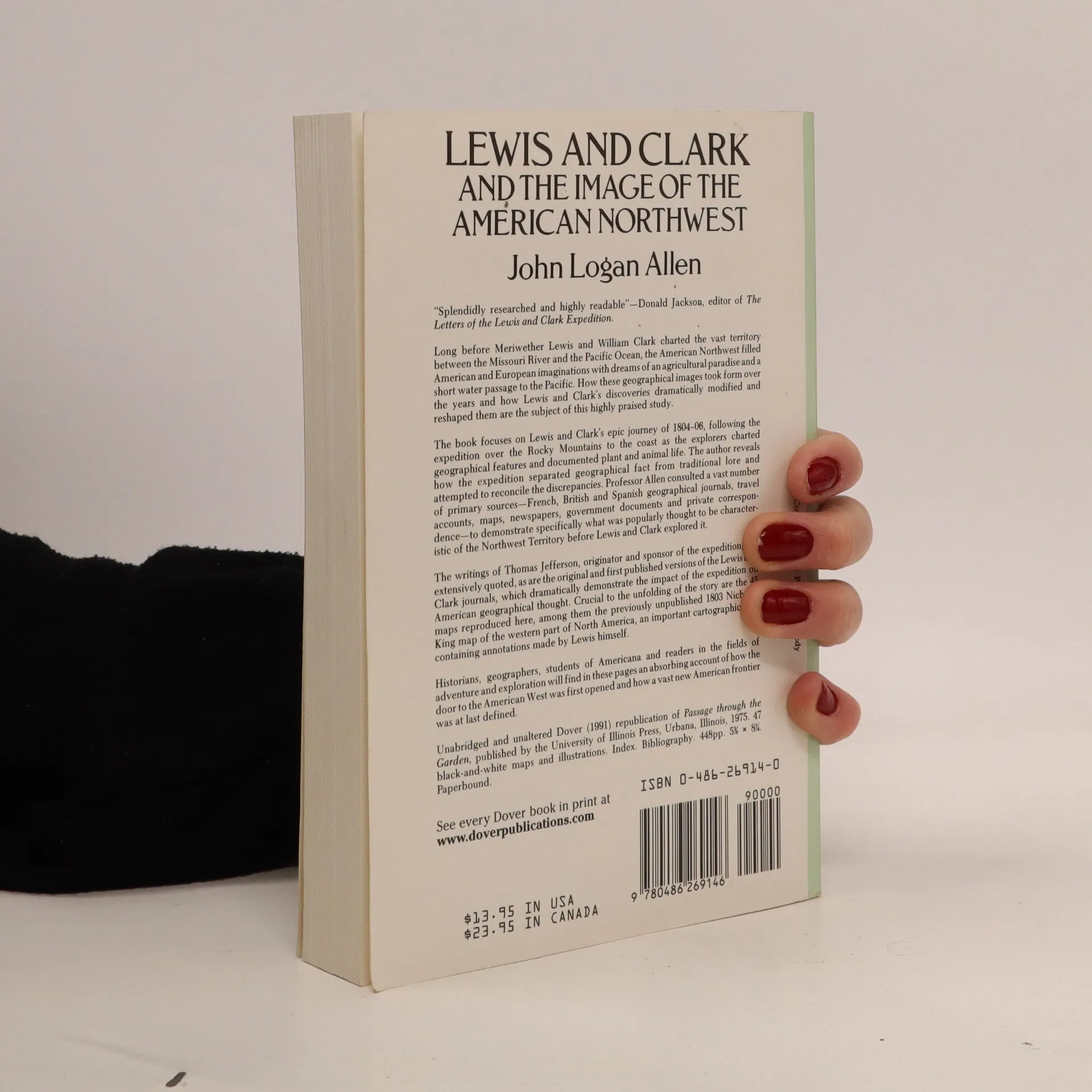
The author traces how Lewis and Clark's epic journey of 1804–06 and their charting of the American Northwest dramatically revised generally held concepts of the area's geography. With 45 maps. "Splendidly researched and highly readable" — Donald Jackson, editor of the Letters of the Lewis and Clark Expedition.
Een boek kopen
Lewis and Clark and the Image of the American Northwest, John Logan Allen
- Taal

- Jaar van publicatie
- 1991
- product-detail.submit-box.info.binding
- (Paperback)
Zodra we het ontdekt hebben, sturen we een e-mail.
Betaalmethoden
We missen je recensie hier.
- Titel
- Lewis and Clark and the Image of the American Northwest
- Taal
- Engels
- Auteurs
- John Logan Allen
- Uitgever
- Dover
- Jaar van publicatie
- 1991
- Formaat
- Paperback
- ISBN10
- 0486269140
- ISBN13
- 9780486269146
- Reeks
- Beoordeling
- 4,15 van 5
- Aantekening
- The author traces how Lewis and Clark's epic journey of 1804–06 and their charting of the American Northwest dramatically revised generally held concepts of the area's geography. With 45 maps. "Splendidly researched and highly readable" — Donald Jackson, editor of the Letters of the Lewis and Clark Expedition.