


Meer over het boek
This book offers a fresh perspective on the successful Principles of Geographical Information Systems for Land Resources Assessment, originally published in 1986. It emphasizes that GIS are not merely tools for electronic map-making but are essential for managing our physical and social environments. Their applications extend to political decision-making, market research, utility management, and automated navigation systems. The text provides a solid theoretical foundation for GIS, addressing the often-overlooked aspects in other literature. It explores spatial data, which typically fall into two paradigms: precisely defined entities in space, like land parcels, and the continuous variation of attributes, such as temperature or rainfall. Detailed methods for modeling these phenomena and storing them in spatial databases are discussed, including geostatistics for interpolating from discrete points to continuous fields. Practical examples illustrate the use of spatial data in solving diverse issues, such as site-location analysis, land degradation, optimizing timber extraction, and analyzing the redistribution of Chernobyl radioactivity. The book also highlights data quality concerns and the impact of statistical errors on spatial modeling results. Fuzzy logic and continuous classification methods are introduced as approaches to integrate the two spatial paradigms. Finally, the text examines current developments in global


Een boek kopen
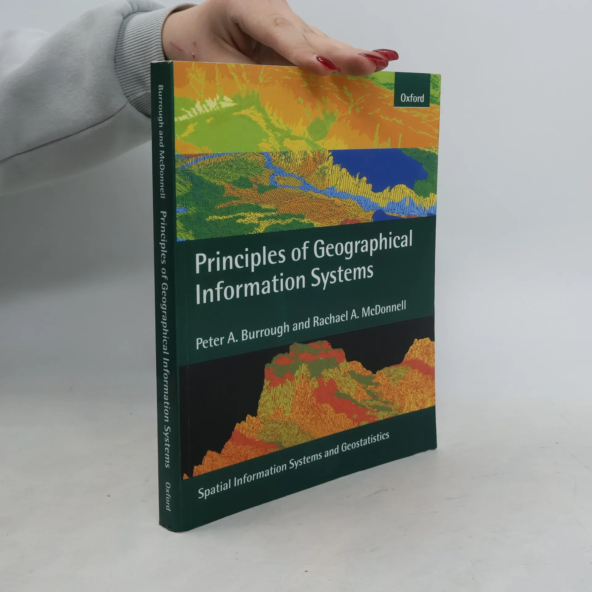
Principles of Geographical Information Systems, Peter Allan Burrough, Rachael A. McDonnell
- Taal

- Jaar van publicatie
- 1998
- product-detail.submit-box.info.binding
- (Paperback),
- Staat van het boek
- Goed
- Prijs
- € 3,99
Betaalmethoden
We missen je recensie hier.
- Taal
- Engels
- Uitgever
- Oxford University Press
- Jaar van publicatie
- 1998
- Formaat
- Paperback
- Aantal pagina's
- 333
- ISBN10
- 0198233655
- ISBN13
- 9780198233657
- Reeks
- Tags
- Archeologie
- Beoordeling
- 4 van 5
- Aantekening
- This book offers a fresh perspective on the successful Principles of Geographical Information Systems for Land Resources Assessment, originally published in 1986. It emphasizes that GIS are not merely tools for electronic map-making but are essential for managing our physical and social environments. Their applications extend to political decision-making, market research, utility management, and automated navigation systems. The text provides a solid theoretical foundation for GIS, addressing the often-overlooked aspects in other literature. It explores spatial data, which typically fall into two paradigms: precisely defined entities in space, like land parcels, and the continuous variation of attributes, such as temperature or rainfall. Detailed methods for modeling these phenomena and storing them in spatial databases are discussed, including geostatistics for interpolating from discrete points to continuous fields. Practical examples illustrate the use of spatial data in solving diverse issues, such as site-location analysis, land degradation, optimizing timber extraction, and analyzing the redistribution of Chernobyl radioactivity. The book also highlights data quality concerns and the impact of statistical errors on spatial modeling results. Fuzzy logic and continuous classification methods are introduced as approaches to integrate the two spatial paradigms. Finally, the text examines current developments in global