
Je koopt precies het boek dat op de foto staat
Meer over het boek
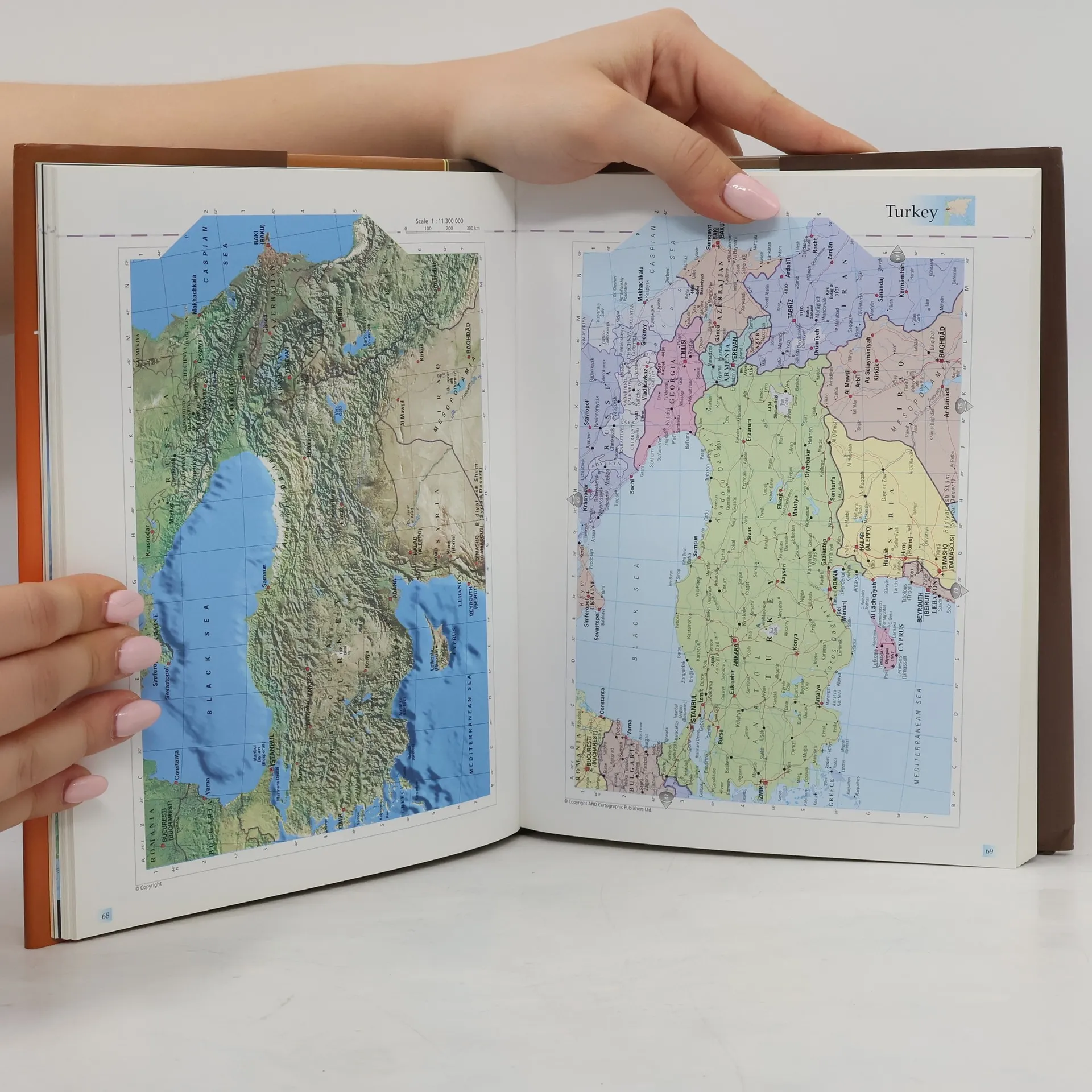
This atlas presents the reader with two entirely different views of the world on each map spread. On each the left hand page has a satellite map created from images captured by satellite, 800 kilometres above the earth. The right hand page carries a political map of the same area, on which the earth's human infrastructure of cities and towns and communication networks is shown.
Een boek kopen
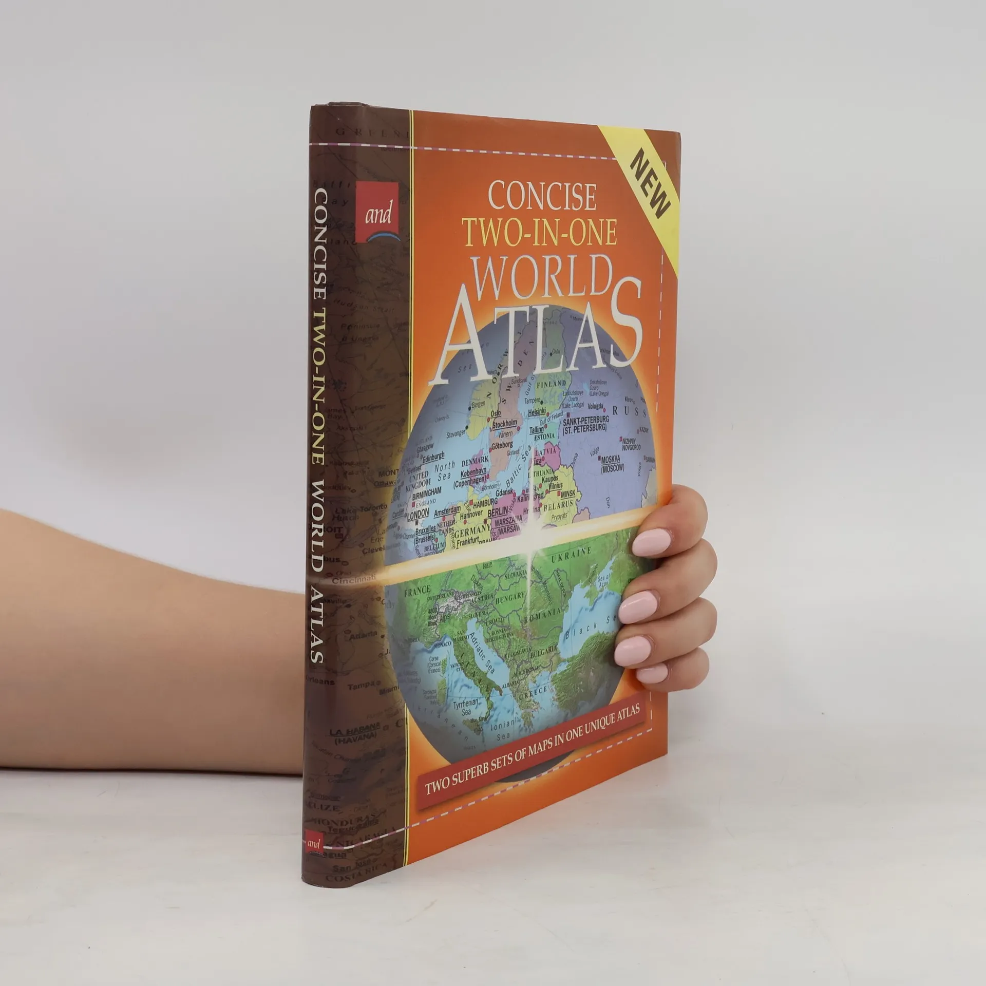
Concise Two-in-One World Atlas, Auteurscollectief
- Taal

- Jaar van publicatie
- 2000
- product-detail.submit-box.info.binding
- (Hardcover),
- Staat van het boek
- Goed
- Prijs
- € 3,99
Betaalmethoden
Nog niemand heeft beoordeeld.
- Titel
- Concise Two-in-One World Atlas
- Taal
- Engels
- Auteurs
- Auteurscollectief
- Uitgever
- AND Cartographic Publishers
- Jaar van publicatie
- 2000
- Formaat
- Hardcover
- Aantal pagina's
- 176
- ISBN10
- 1841780200
- ISBN13
- 9781841780207
- Reeks
- Aantekening
- This atlas presents the reader with two entirely different views of the world on each map spread. On each the left hand page has a satellite map created from images captured by satellite, 800 kilometres above the earth. The right hand page carries a political map of the same area, on which the earth's human infrastructure of cities and towns and communication networks is shown.