

De favoriet van de lezers is momenteel uitverkocht.

Meer over het boek
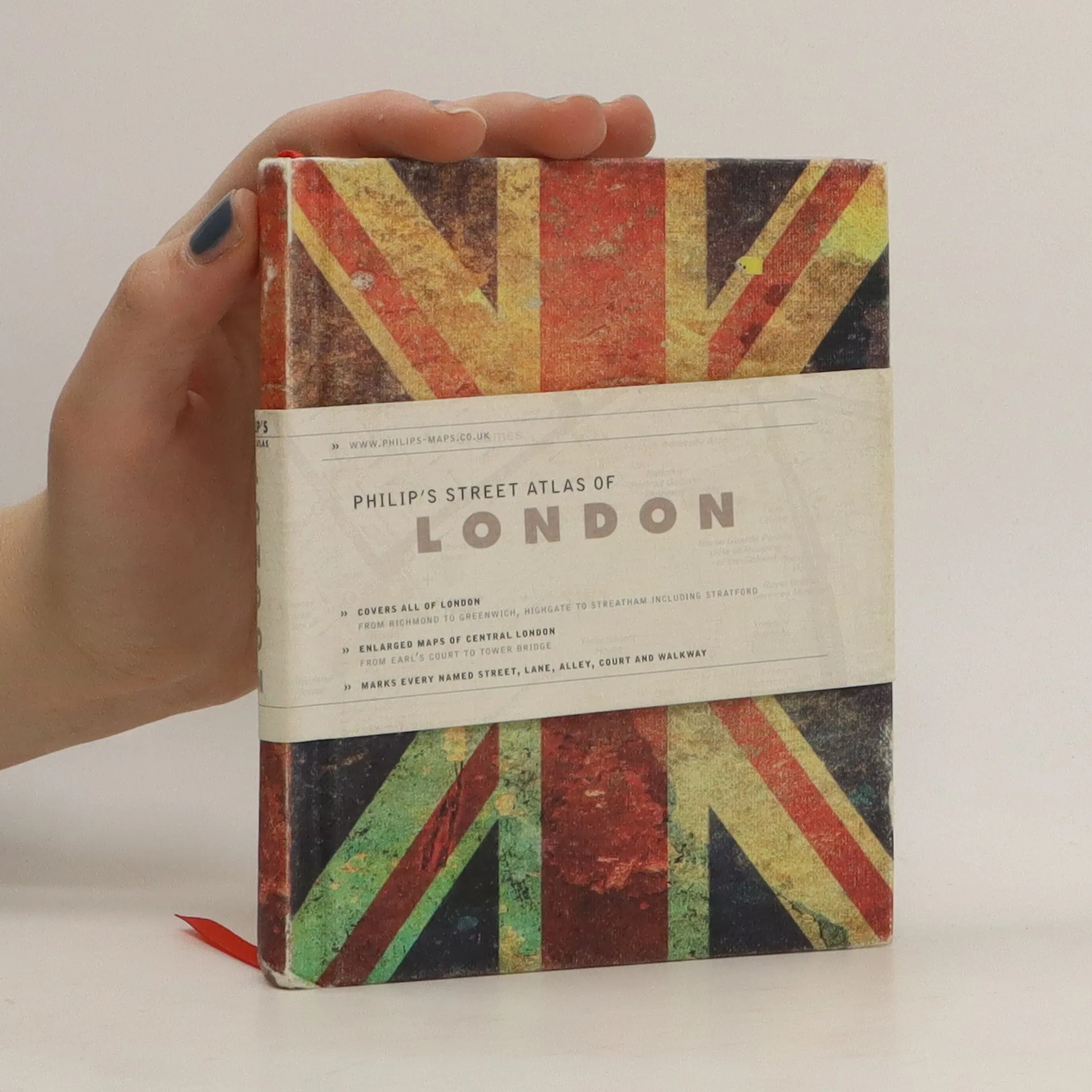
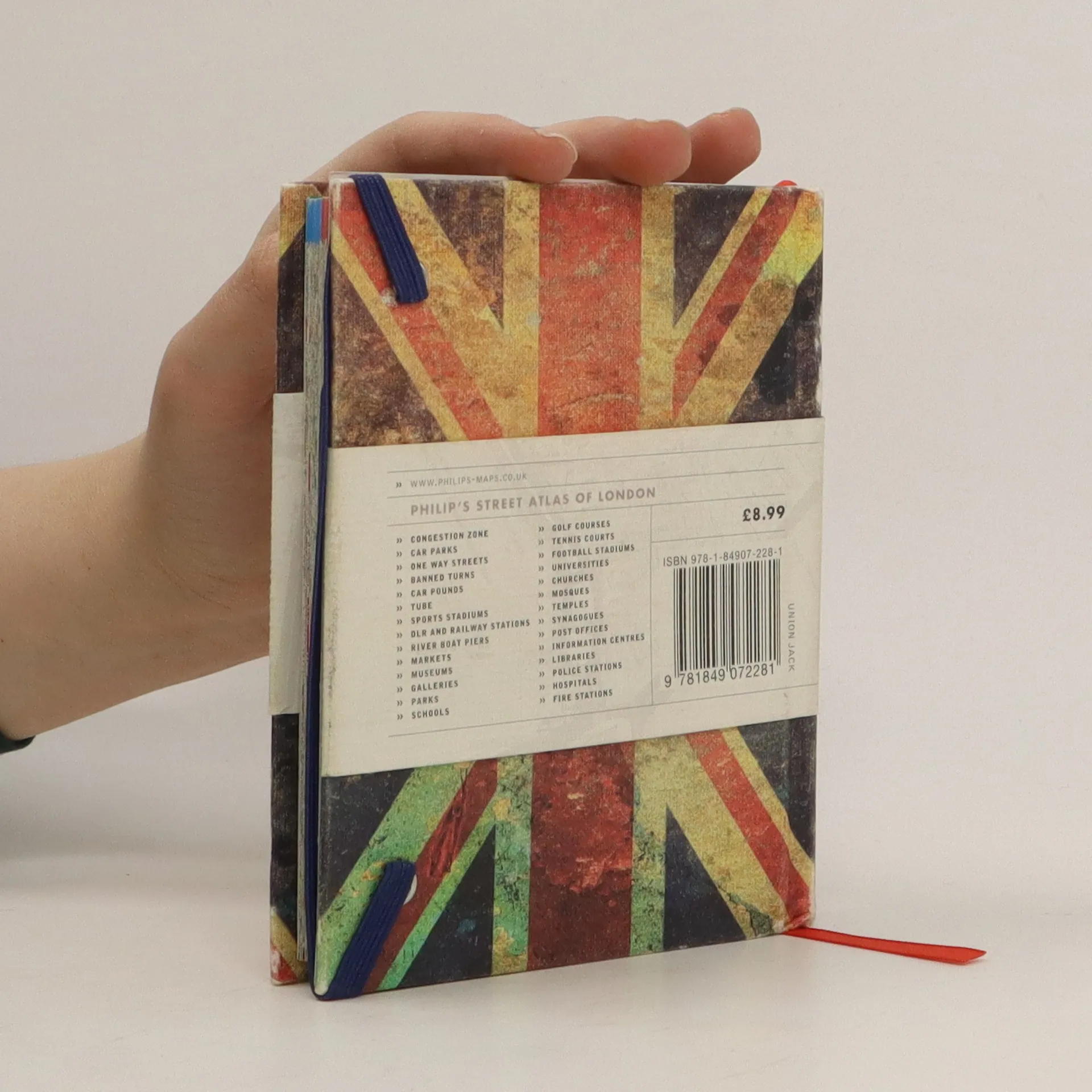
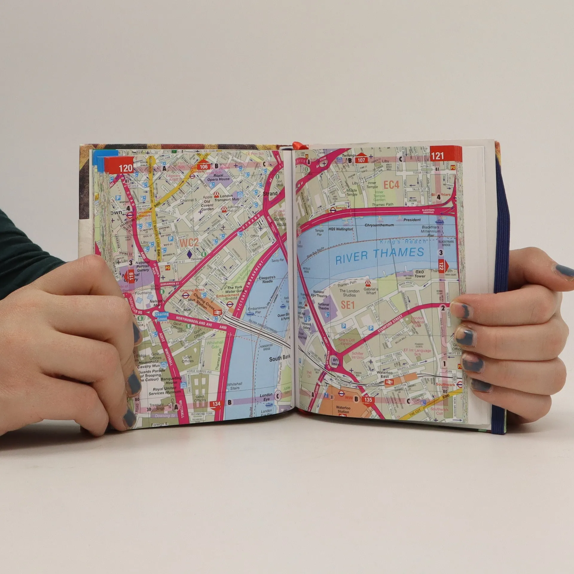
This is a fully revised edition of the definitive London Atlas. Every street is named, the Congestion Charging Zone is highlighted, bus, tube and rail maps are featured, an index is given of hospitals and places of interest, postcodes are given, and theatres, cinemas and shopping are shown on a separate map.


Een boek kopen
Philip's street atlas of London, Auteurscollectief
- Taal

- Jaar van publicatie
- 2012
- Bindwijze
- (Hardcover)
Zodra we het ontdekt hebben, sturen we een e-mail.
Betaalmethoden
Nog niemand heeft beoordeeld.
- Taal
- Engels
- Auteurs
- Auteurscollectief
- Uitgever
- Philip's
- Jaar van publicatie
- 2012
- Formaat
- Hardcover
- Aantal pagina's
- 320
- ISBN10
- 1849072280
- ISBN13
- 9781849072281
- Reeks
- Aantekening
- This is a fully revised edition of the definitive London Atlas. Every street is named, the Congestion Charging Zone is highlighted, bus, tube and rail maps are featured, an index is given of hospitals and places of interest, postcodes are given, and theatres, cinemas and shopping are shown on a separate map.