
Uitverkocht

Meer over het boek
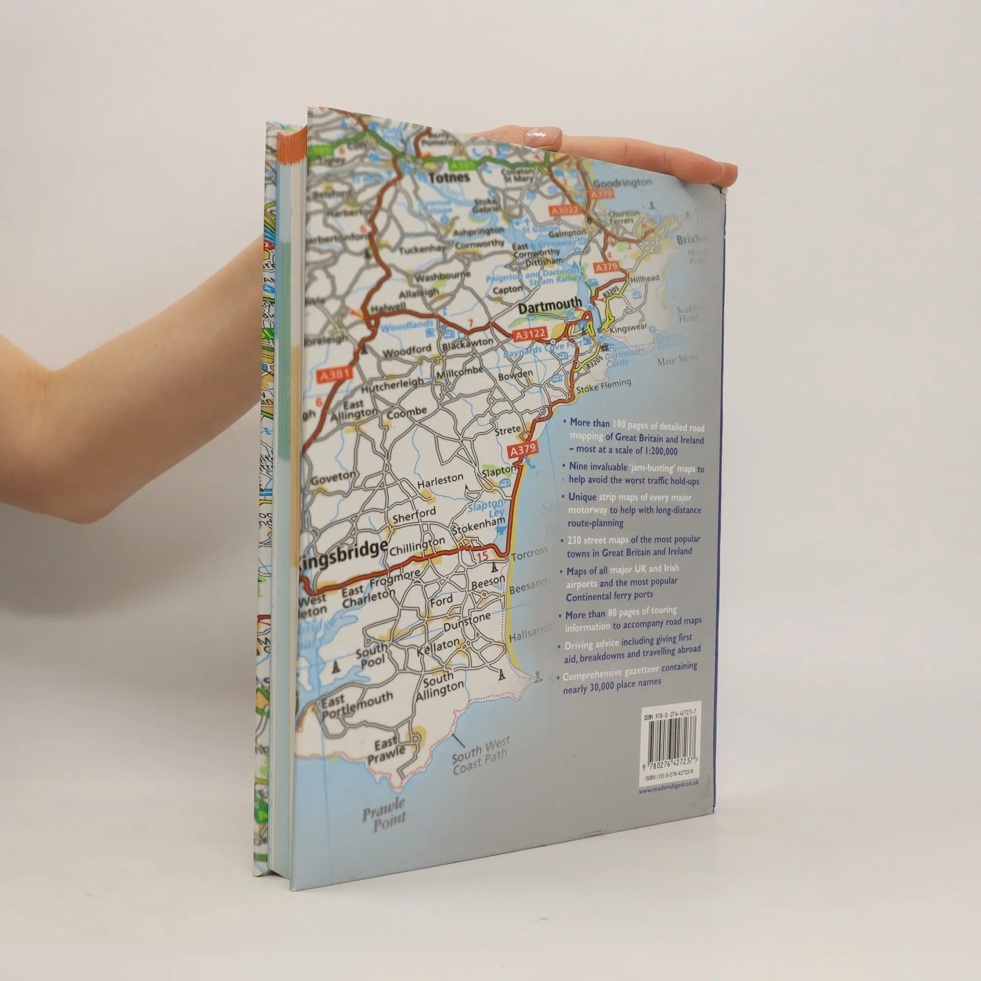
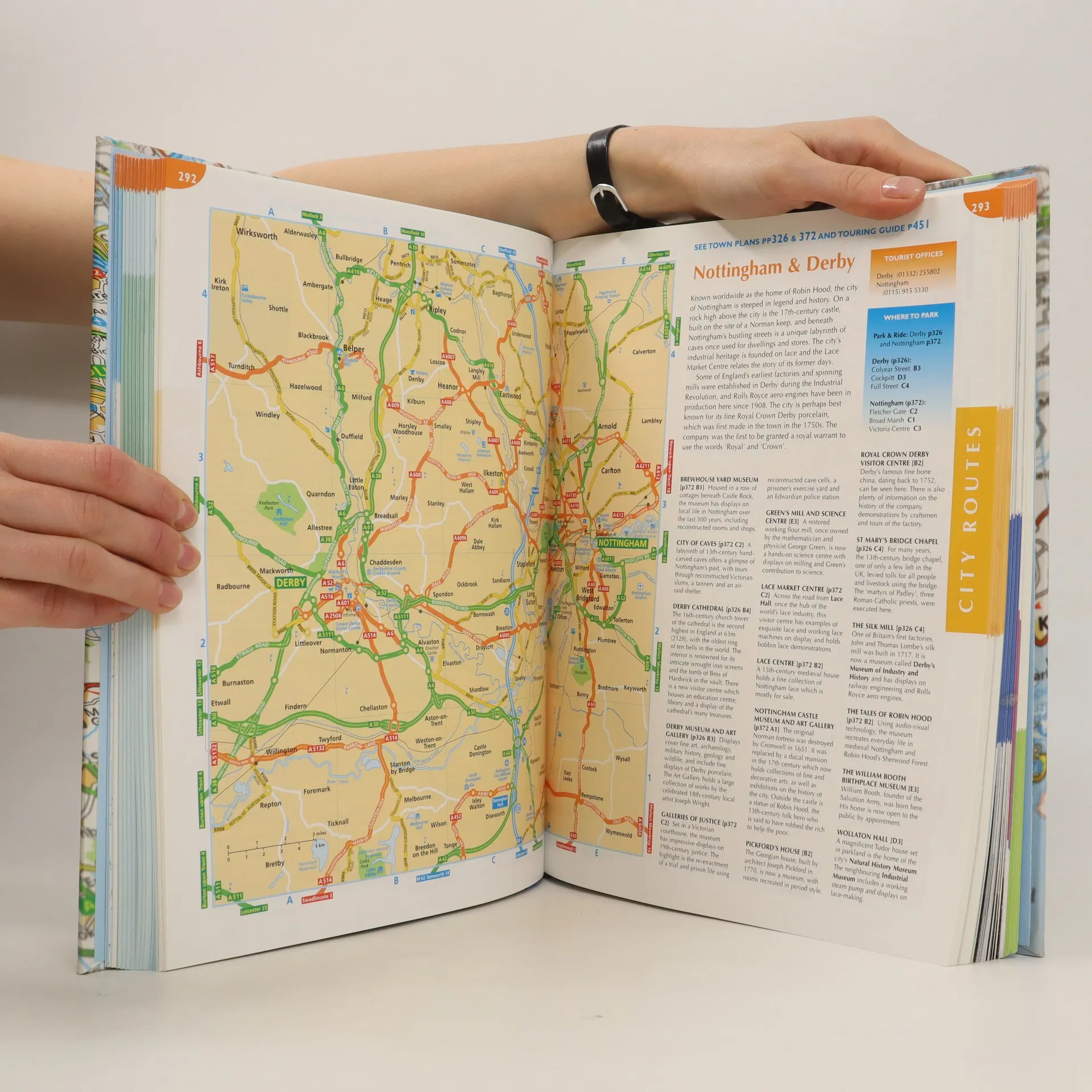
This atlas covers all of Britain and Ireland with the area around Calais and Boulogne as well. It shows motorways, primary routes, A-roads, B-roads, lanes and backroads. There are also plans of cities, towns (with park and ride schemes), airports, ferry ports, and extra-large-scale city route finders.
Een boek kopen
The complete driver's atlas of Britain and Ireland, Auteurscollectief
- Taal

- Jaar van publicatie
- 2007
- product-detail.submit-box.info.binding
- (Hardcover)
Zodra we het ontdekt hebben, sturen we een e-mail.
Betaalmethoden
We missen je recensie hier.
- Titel
- The complete driver's atlas of Britain and Ireland
- Taal
- Engels
- Auteurs
- Auteurscollectief
- Uitgever
- Reader's Digest
- Jaar van publicatie
- 2007
- Formaat
- Hardcover
- Aantal pagina's
- 568
- ISBN10
- 0276427238
- ISBN13
- 9780276427237
- Reeks
- Beoordeling
- 4,35 van 5
- Aantekening
- This atlas covers all of Britain and Ireland with the area around Calais and Boulogne as well. It shows motorways, primary routes, A-roads, B-roads, lanes and backroads. There are also plans of cities, towns (with park and ride schemes), airports, ferry ports, and extra-large-scale city route finders.