
Je koopt precies het boek dat op de foto staat

Meer over het boek
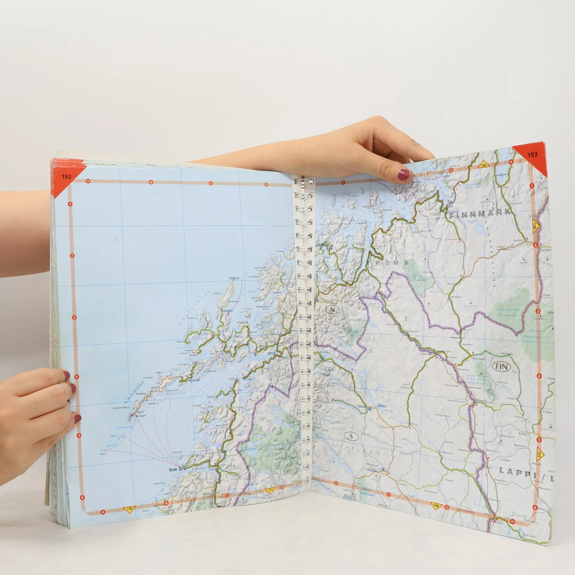
Fully revised and updated for 2020, this specialist A3 road atlas has new and improved mapping designed for the British motorist in Europe. Includes information on road distances, car ferries, national parks, towns, and other places of interest. There are new overview maps to help plan your route with place names shown in local languages. 12 miles to 1 inch 1:750,000 (main atlas scale). Some areas at smaller scales.
Een boek kopen
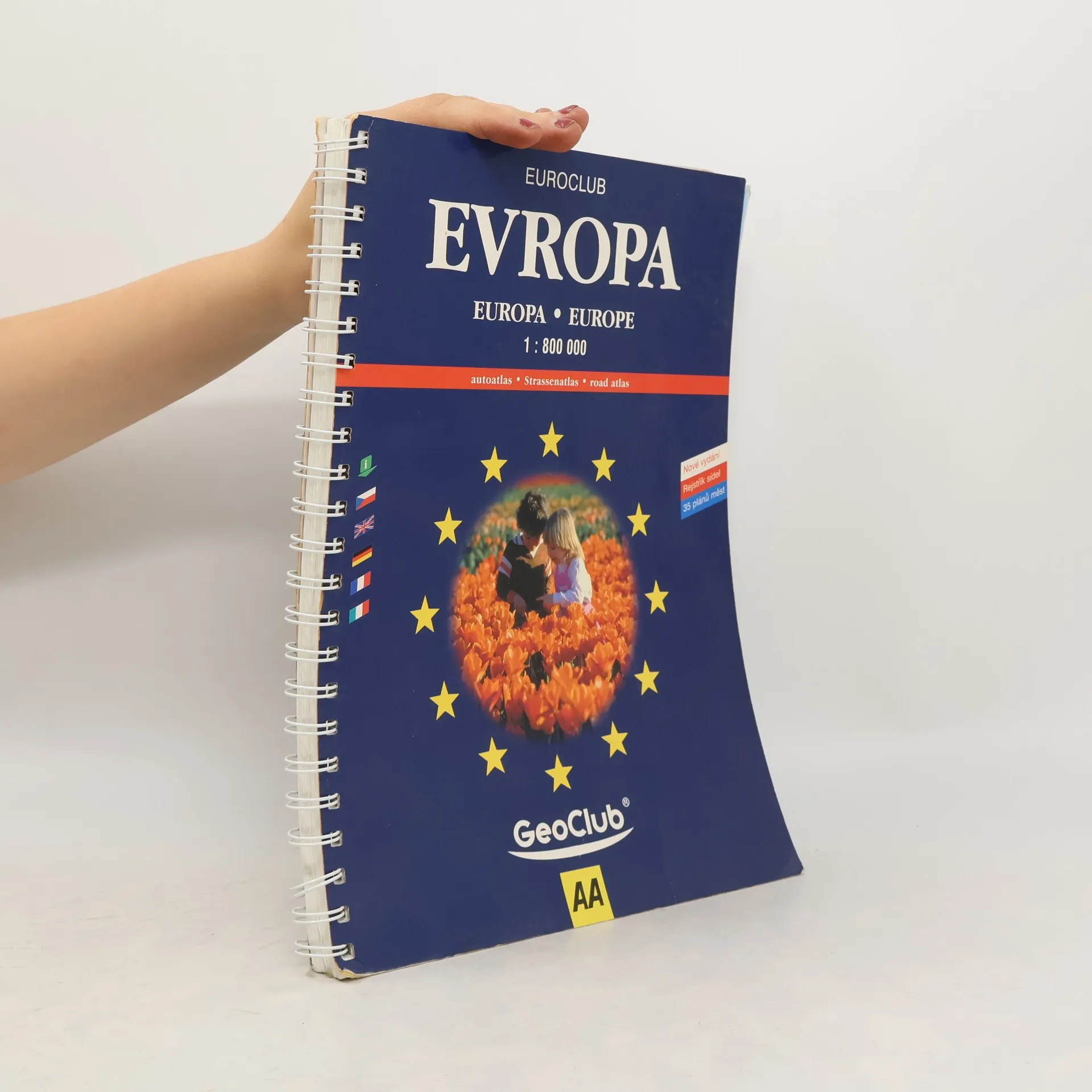
Road Atlas Europe, Auteurscollectief
- Taal


- Jaar van publicatie
- 2000
- product-detail.submit-box.info.binding
- (ring),
- Staat van het boek
- Beschadigd
- Prijs
- € 2,39
Betaalmethoden
Nog niemand heeft beoordeeld.