
De favoriet van de lezers is momenteel uitverkocht.
Parameters
- 160bladzijden
- 6 uur lezen
Meer over het boek
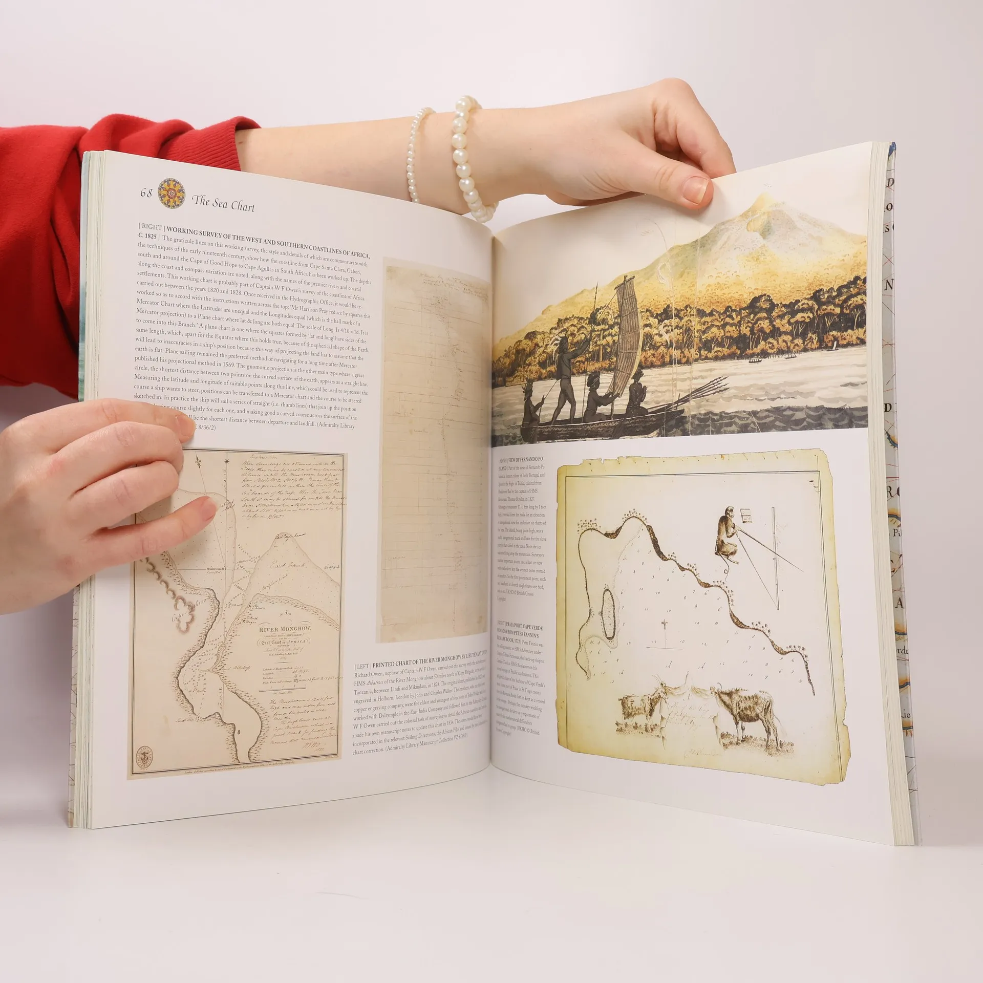
This volume looks at the history and development of the chart and the related nautical map, in both scientific and aesthetic terms, as a means of safe and accurate seaborne navigation. Key figures or milestones in the history of charting are presented in stand-alone story box features.
Een boek kopen
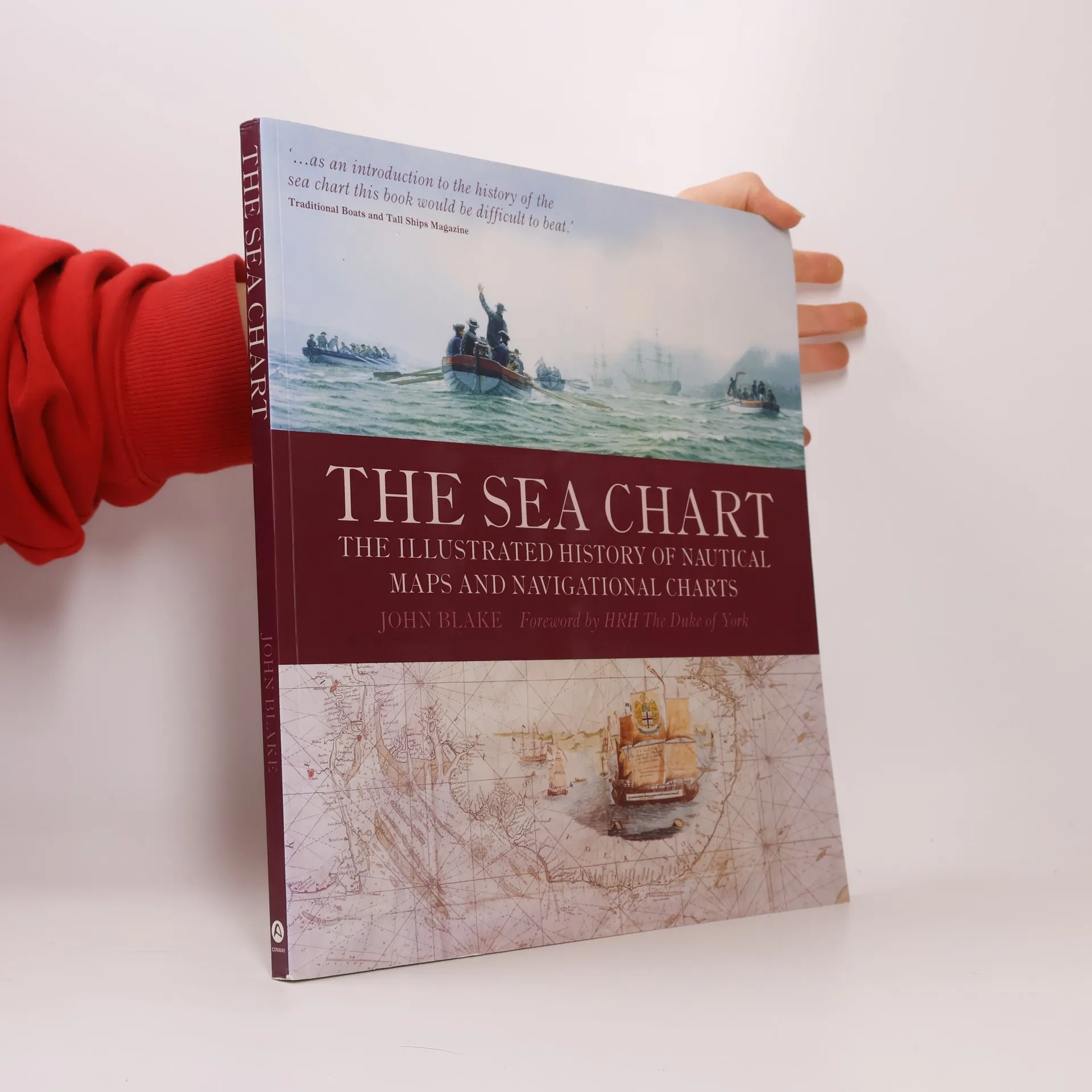
The Sea Chart, John Blake, HRH The Duke of York
- Taal

- Jaar van publicatie
- 2009
- product-detail.submit-box.info.binding
- (Paperback)
Zodra we het ontdekt hebben, sturen we een e-mail.
Betaalmethoden
We missen je recensie hier.
- Titel
- The Sea Chart
- Ondertitel
- The Illustrated History of Nautical Maps and Navigational Charts
- Taal
- Engels
- Auteurs
- John Blake, HRH The Duke of York
- Uitgever
- Conway Maritime Press
- Jaar van publicatie
- 2009
- Formaat
- Paperback
- Aantal pagina's
- 160
- ISBN10
- 1844860639
- ISBN13
- 9781844860630
- Reeks
- Tags
- Non-fictie, Historisch thema, Kaarten en reizen, Technologie & Industrie, Geografie & Plaatsbeschrijving, Handleidingen en Gidsen, Wetenschap, Auto's & Vervoer, Schepen, Zeevaart, Kartografie, Historische geografie, Navigatie
- Beoordeling
- 4,65 van 5
- Aantekening
- This volume looks at the history and development of the chart and the related nautical map, in both scientific and aesthetic terms, as a means of safe and accurate seaborne navigation. Key figures or milestones in the history of charting are presented in stand-alone story box features.