
Parameters
- 224bladzijden
- 8 uur lezen
Meer over het boek
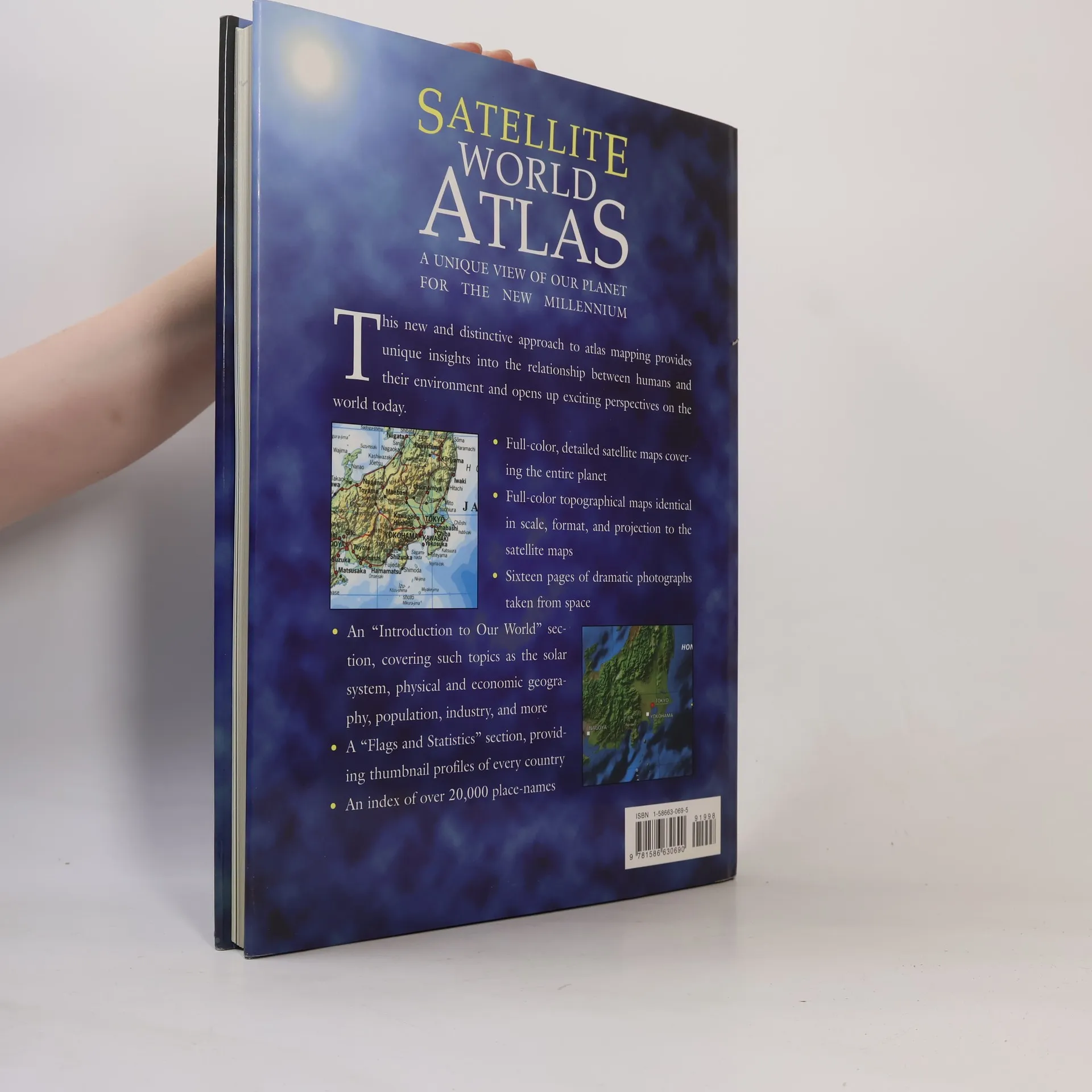
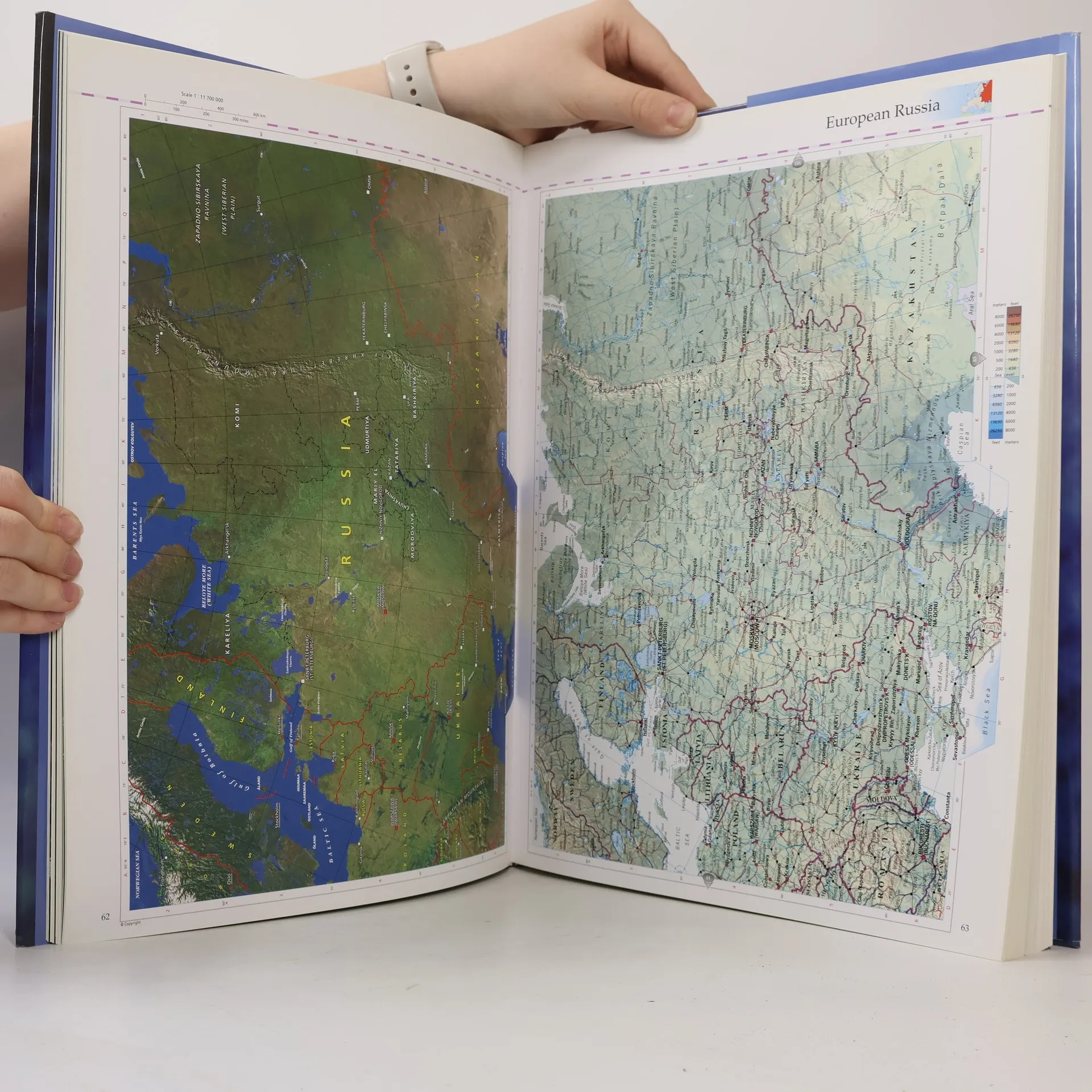
Ordinary maps were never like this! Here’s a thoroughly modern and distinctive approach to mapping that provides a unique look at our planet, reveals fresh insights into the relationship between humans and their environment, and opens up exciting perspectives on the world today. The maps are created from images captured by satellites orbiting 500 miles above the earth’s surface; enhancement of the topography results in a new unbelievably realistic view of Earth. There are full-color, detailed satellite maps covering the entire planet; color topographical maps identical in scale, format, and projection to the satellite ones; 16 pages of dramatic photographs taken from space; a “Flags and Statistics section” with thumbnail profiles of every country; an index of more than 20,000 place names; and more.
Een boek kopen
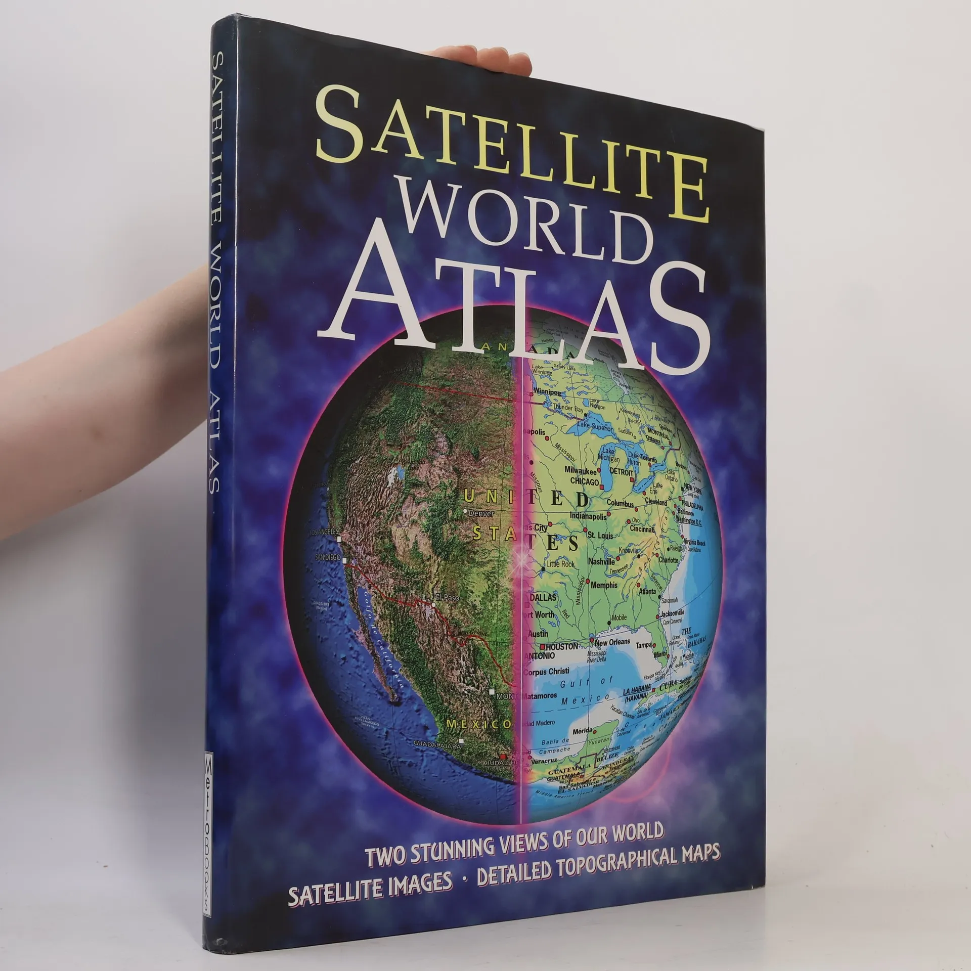
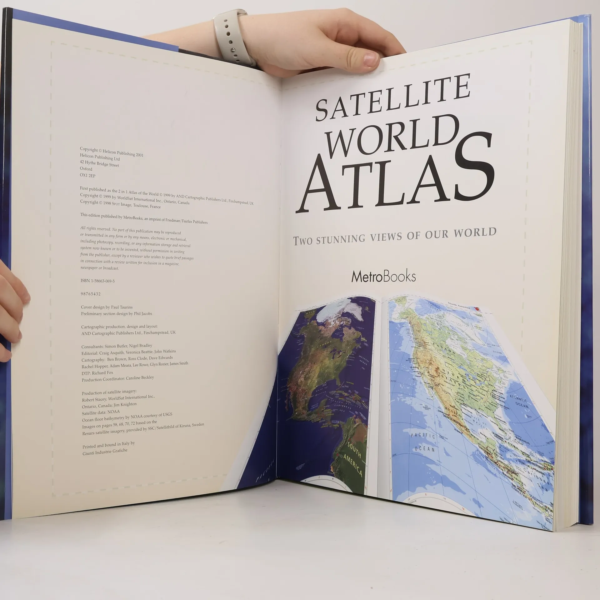
Satellite World Atlas,
- Taal

- Jaar van publicatie
- 2001
- product-detail.submit-box.info.binding
- (Hardcover)
Betaalmethoden
Nog niemand heeft beoordeeld.
- Titel
- Satellite World Atlas
- Taal
- Engels
- Auteurs
- Uitgever
- Metro Books
- Jaar van publicatie
- 2001
- Formaat
- Hardcover
- Aantal pagina's
- 224
- ISBN10
- 1586630695
- ISBN13
- 9781586630690
- Reeks
- Tags
- Non-fictie, Kaarten en reizen, Handleidingen en Gidsen, Kaarten & Atlassen, Atlassen, Wereldatlassen
- Aantekening
- Ordinary maps were never like this! Here’s a thoroughly modern and distinctive approach to mapping that provides a unique look at our planet, reveals fresh insights into the relationship between humans and their environment, and opens up exciting perspectives on the world today. The maps are created from images captured by satellites orbiting 500 miles above the earth’s surface; enhancement of the topography results in a new unbelievably realistic view of Earth. There are full-color, detailed satellite maps covering the entire planet; color topographical maps identical in scale, format, and projection to the satellite ones; 16 pages of dramatic photographs taken from space; a “Flags and Statistics section” with thumbnail profiles of every country; an index of more than 20,000 place names; and more.