
Je koopt precies het boek dat op de foto staat

Parameters
- 141bladzijden
- 5 uur lezen
Meer over het boek
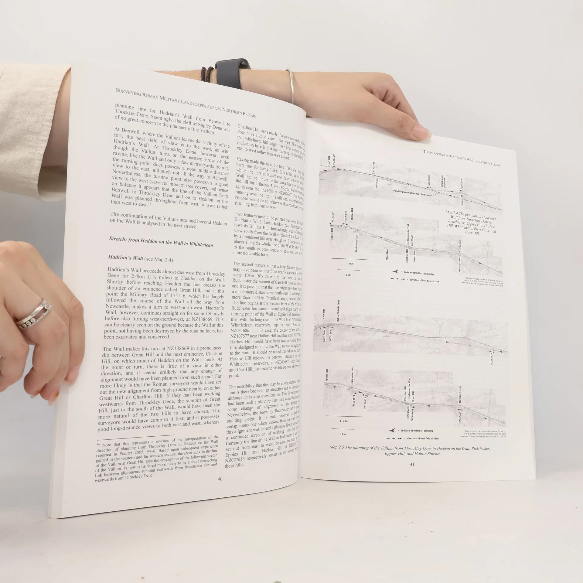
Surveying Roman Military Landscapes across Northern Britain. Preface (David J. Breeze); Introduction (John Poulter); Report No. 1: The Planning of Roman Dere Street from the Vale of York to Newstead by the Tweed (John Poulter); Report No. 2: The Planning of Hadrians Wall and the Vallum (John Poulter); Report No. 3: The Planning of the Antonine Wall in Scotland (John Poulter); Supplementary Mapping Matters with the Antonine Wall (Peter McKeague).
Een boek kopen
Surveying Roman Military Landscapes across Northern Britain, John Poulter
- Taal

- Jaar van publicatie
- 2009
- product-detail.submit-box.info.binding
- (Paperback),
- Staat van het boek
- Zeer goed
- Prijs
- € 32,99
Betaalmethoden
Nog niemand heeft beoordeeld.
- Titel
- Surveying Roman Military Landscapes across Northern Britain
- Ondertitel
- The Planning of Roman Dere Street, Hadrian's Wall and the Vallum, and the Antonine Wall in Scotland
- Taal
- Engels
- Auteurs
- John Poulter
- Uitgever
- British Archaeological Reports
- Jaar van publicatie
- 2009
- Formaat
- Paperback
- Aantal pagina's
- 141
- ISBN10
- 1407305190
- ISBN13
- 9781407305196
- Reeks
- Tags
- Aantekening
- Surveying Roman Military Landscapes across Northern Britain. Preface (David J. Breeze); Introduction (John Poulter); Report No. 1: The Planning of Roman Dere Street from the Vale of York to Newstead by the Tweed (John Poulter); Report No. 2: The Planning of Hadrians Wall and the Vallum (John Poulter); Report No. 3: The Planning of the Antonine Wall in Scotland (John Poulter); Supplementary Mapping Matters with the Antonine Wall (Peter McKeague).